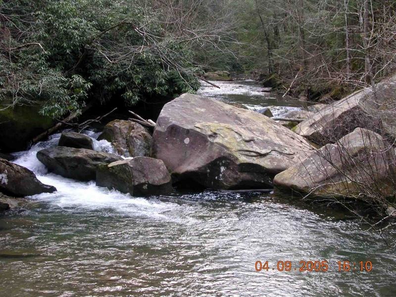
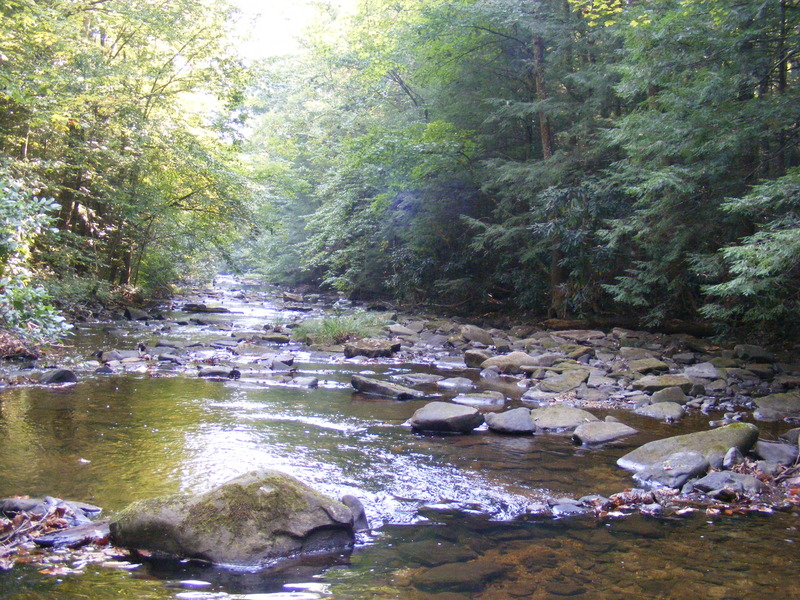
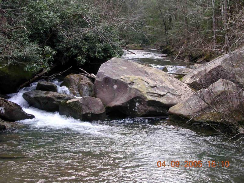
Rock Creek (Cumberland trib)
A) Great Meadow to Wooden Bridge (7.4 miles)
| Difficulty | II |
| Length | 7.4 mi |
| Avg Gradient | n/a |
| Reach Info Last Updated | February 11, 2015 |
Runnable with a lot of rain.
We really need more input on this one! If you can help out, either use the 'Add a Comment' button below (which should appear for all registered, logged-in users), add a report (preferably with photo(s)/video(s) of features especially at runnable flows) or send an email to the address(es) listed on the 'Credits & Network' tab.
Great Meadows Campground Raccoon Loop https://maps.app.goo.gl/P8wvmR9kJvtMybzN6
Put in at the Raccoon Loop for easy river access. Great Meadows Campground is developed on both sides of the road. Deer Loop is on the right; Raccoon Loop is on the left (riverside). Campsite availability is on a first-come, first-served basis. Rock Creek, a designated Kentucky Wild River, runs along the Raccoon Loop.

(It looks like there is some possible access here, if this is not private.)
(I'm not sure what is here, based on aerial views.)