| Difficulty | I-II |
| Length | 5 mi |
| Avg Gradient | n/a |
| Gauge | Hoosic River Near Eagle Bridge Ny |
| Flow Rate as of 24 minutes | 3850 cfsrunnable |
| Reach Info Last Updated | June 12, 2018 |
River Description
This stretch of river begins just below the Hoosic Gorge section and can be combined with that run to make a longer paddle if desired. However, this run is extremely mild compared to the class III-V gorge and isn't much fun in a playboat. Compared to the sections above, this is a very calm paddle, mostly flat water with short sections of riffles. At higher water you will encounter some class II rapids and one rock garden at the confluence with the Hudson. As with any water, at extreme or flood levels all bets about difficulty level go out the window, so always observe the conditions at the put-in.
Put-in as at the take-out for the Gorge, the powerhouse. The road is narrow and rugged and passes over a one-lane bridge. Some homeowners have been known to object to paddlers driving down 'their road' but recreational access to this area is part of the agreement between Schaghticoke, Brookfield Renewable, and American Whitewater. There is parking at the powerhouse for only a few cars, so best to leave most vehicles at the takeout and shuttle to the top.
Takeout is usually at Lock 4 State Park, river right just as the Hoosic joins the Hudson. Make sure you double-check park hours before planning on using this location. If the park is closed (or will close by the time you reach it) there is an alternative take-out 1 mile down the Hudson again on river-right, but parking is limited and the bank is steep, so Lock 4 is preferred.
River Features
Powerhouse Put-in
Access PointDistance: 0 mi

The put-in at the powerhouse. Parking is limited so leave most vehicles at the take-out. Some homeowners get annoyed at paddlers driving down Powerhouse Road so try to be courteous. Road is narrow, dirt in places, and passes over a low-weight-limit one-lane bridge. In other words, don't bring a bus.
Powerhouse Rapids
OtherClass: IDistance: 0.25 mi (approx.)
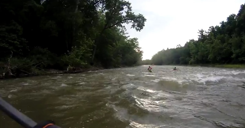
Some bouncy water where the powerhouse dumps back into the river. Can reach class II at higher flows.
The Cliff Rapids
OtherClass: IIDistance: 1 mi (approx.)
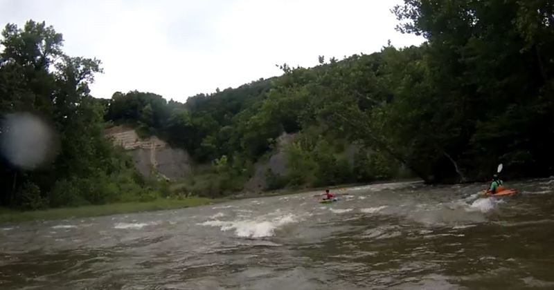
A left bend in the river below a cliff with rough water before and after. Generally class I or II and easily avoided given the width of the river.
The Hudson Rock Garden
OtherClass: IIDistance: 5 mi (approx.)
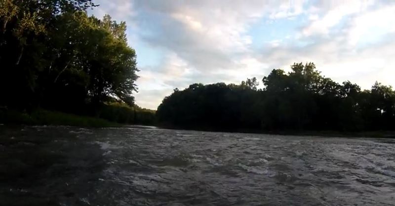
A small patch of boulders at the final drop into the Hudson. Class I at most flows, maybe II at high flow.
Lock 4 Takeout
Access PointDistance: 5.5 mi (approx.)
The takeout is at Lock 4 State Park. Double-check park hours! They change seasonally and you don't want them to close and lock the gate with your car still parked here. Alternative take-out is 1 mile down the Hudson.
Alternative Takeout
Access PointDistance: 6.5 mi (approx.)
The alternative takeout is a small parking pulloff on Rt 4 in Mechanicville, just south of an old train trestle over the Hudson. Parking is limited and the bank is very steep, so best to use Lock 4 if available.
Trip Reports
Log in to add a reportAJ
Andrew Jones
Apr 11, 2017
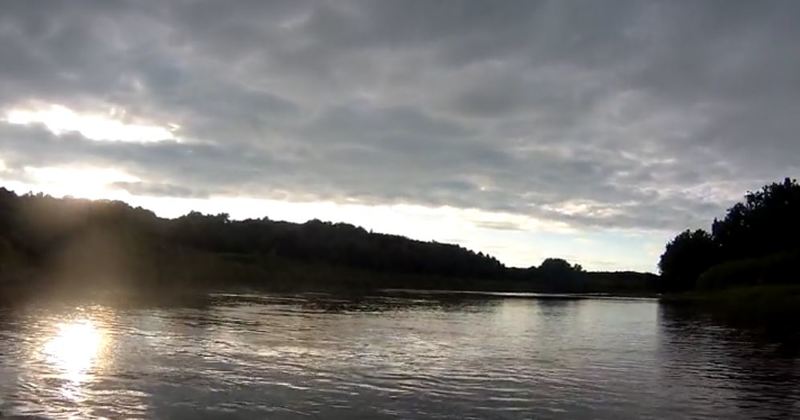
Most of this paddle is flat or gently moving water as shown in this photo. A relaxing paddle for a longboat or open canoe.
AJ
Andrew Jones
Apr 11, 2017
At the confluence of the Hoosic and Hudson is a small rock garden. Can be exciting when the water is pushy. This is the last choppy water of the run.