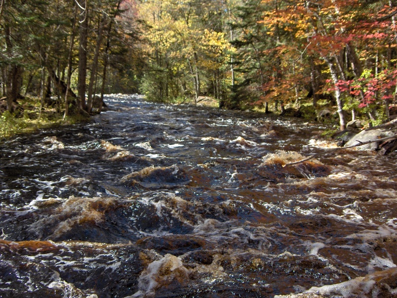
Popple
A) MacArthur Pine Rd to Newald Tower Rd. (21.2 miles)
| Difficulty | I-II |
| Length | 19.2 mi |
| Avg Gradient | 7 fpm |
| Reach Info Last Updated | July 2, 2021 |
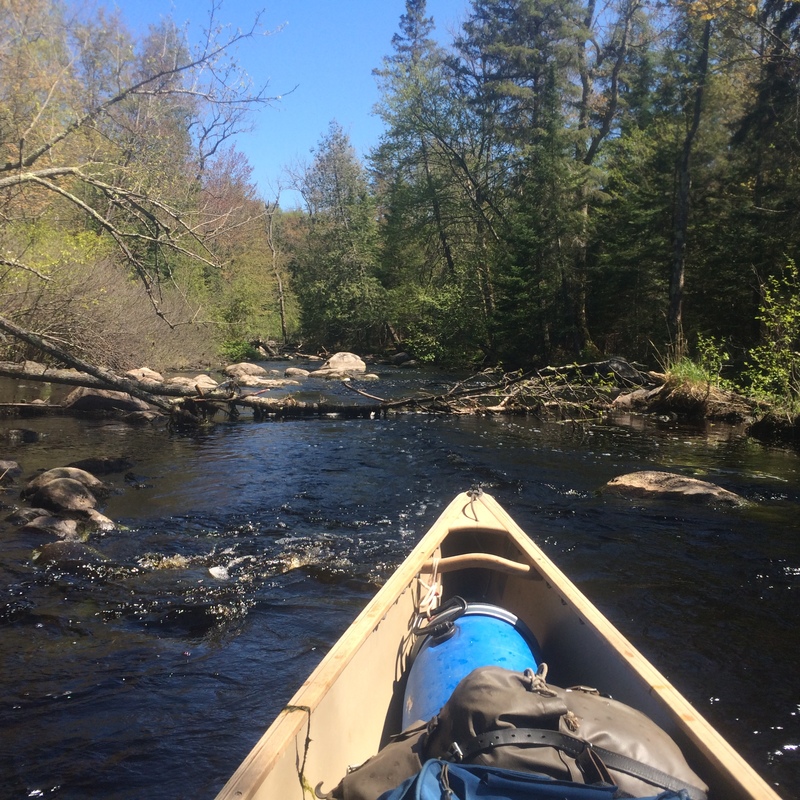
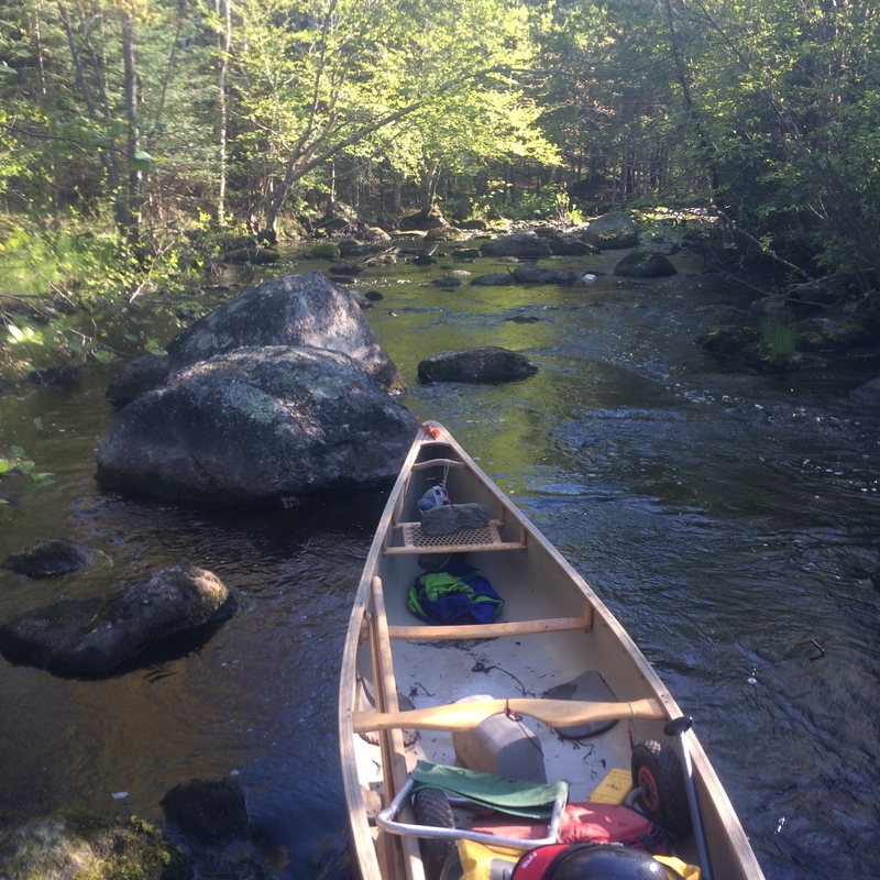
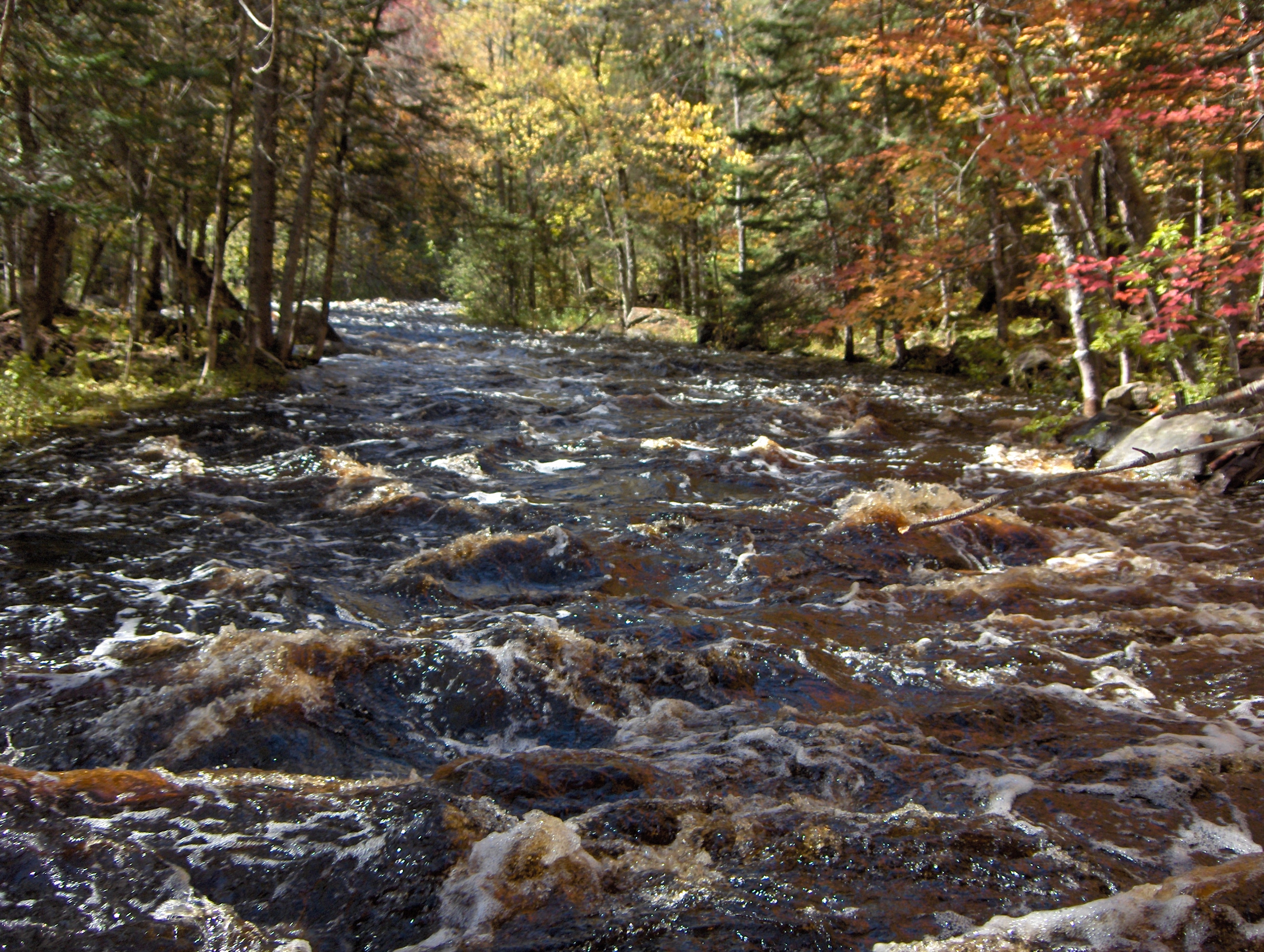
Above Cedar and NT (Newald Tower) Rapids the river is intimate, thus blockages are likely. There are 13 sets of low-gradient, rocky rapids (I-II): six from MacArthur Pine to Hwy 139, five from New 139 to Twin River Rd, and five (plus NT Rapids) from Twin River Rd. to Newald Tower Rd). Between rapids the river is generally deep and floatable.
Whitewater adventures are available with higher flows (probably over 3-400 cfs measured at the USGS station 25 miles downriver) but the remoteness, narrowness, and the tendency for deadfalls increasing the level of risk or struggle the further upriver one starts. Shuttle distances are not long and gravel roads are usually acceptable for a bike-back option.
Twin River Rd to Newald Tower Rd is 5.8 miles of river and a shuttle distance of 6.7 miles. For several years there has been a growing obstruction (between the 4th and 5th of eight drops in Holmes Rapids) that requires a short, snarly drag-around on the right. The reward of this section is NT Rapids.
Hwy 139 to Twin River Rd. is 7.1 miles of river with a shuttle distance of 5.1 miles. Half of this stretch is through marshland. There is a massive obstruction in the middle of McDougal Rapids that requires a 1,800 foot (river-left) portage, mostly through upland forests.
MacArthur Pine Rd. to Hwy 139 is 4.6 to 7.0 miles of river and a shuttle distance of 10-11 miles depending on where you take out. Expect strainers, down trees and challenging rapids. Ratings on the unnamed rapids are only a guess of what they might rate with adequate flows. This stretch has a massive beaver dam and a couple of smaller ones. Between Old 139 and (new) Hwy.139, the river becomes braided and rocky, as it goes through a dense alder thicket that is seriously not worth trying. End the trip in the town of Popple River at Old Hwy 139 or expect to portage down to Hwy 139.

At the uppermost listed put-in, drainage area (as calculated by USGS StreamStats 4.0 beta software) is 36.8 square miles. This is roughly 1/4 the drainage at the gauge (Popple River, near Fence), thus flows here could be roughly 1/4th the gauge reading. Expect the gauge to lag flows up here on both rise and fall.
Earlier guides mention Railroad Rapids downriver from Old Hwy 139. However, from Old 139 to the old railway bridge (now rails to trails) is nearly 1.25 mile long tangle of alders that requires more dragging than floating. Minimize the hassle by taking out at Old 139 and continuing from a Putin near Hwy 139.
Hard going, with much dragging of your boat continues for much of the next 1.23 miles. No rapids exist between the end of the alder thicket and the Hwy 139 putin.
The parking lot for the landing is not directly off of Hwy 139 . It is off of National Forest Rd 2161, 130 feet east of Hwy 139. To get to this landing take the trail for 180 feet out of the back of the parking lot towards the river.
248 feet long. A long-hike (2.3 miles) emergency exit could be made from the camp dock (45.761476, -88.642352) on right after this rapids. The trail leads to a camp, then another camp, then to Jaquet Rd and Forest Rd 2162. Turn right on 2162 and keep walking to town of Newald if necessary.
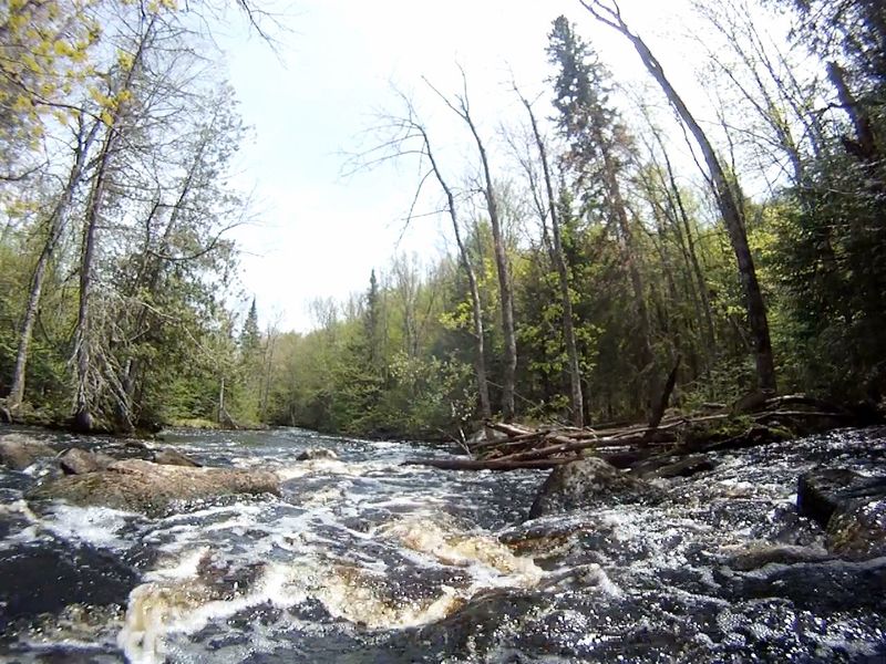
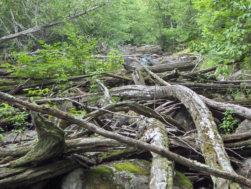
1,963 feet long. There is at least one major log pile requiring a 1,800 foot portage (on left) without trail, mostly through upland forest
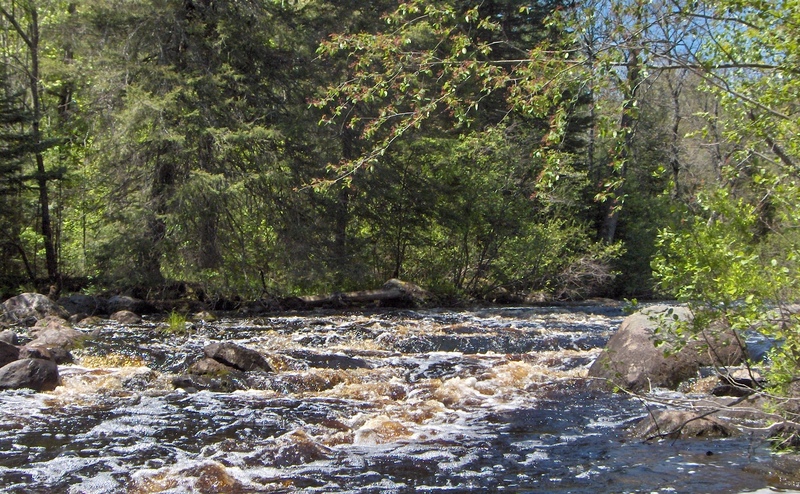
Rapids are a long, tight stretch (2,138 feet) of 8 separate rocky runs. Between the 4th and 5th run the river has been blocked by deadfalls for several years. Portage around the blockage is on the right, without trail, and is wading, and picking your way through a slightly flowing swamp/rocky land area.
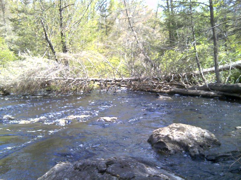
Carry around is a no-trail, 50-foot bushwhack on right
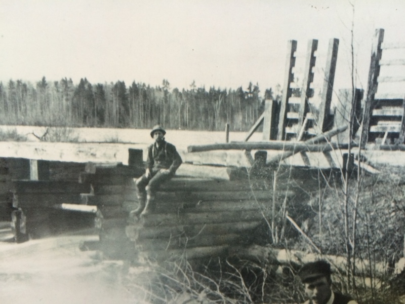
At high water swifts or rapids may delvelop here in constrictions left by leftover embankments from the dam (actually the embankment is an esker from the last glacier)
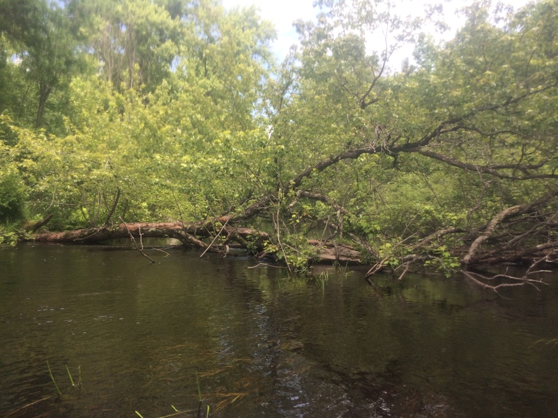
Above and below this bridge, the river is prone to deadfalls of large Silver Maple Trees which may block passage at some flows but the current is generally not swift
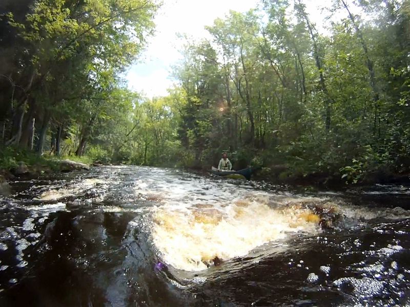
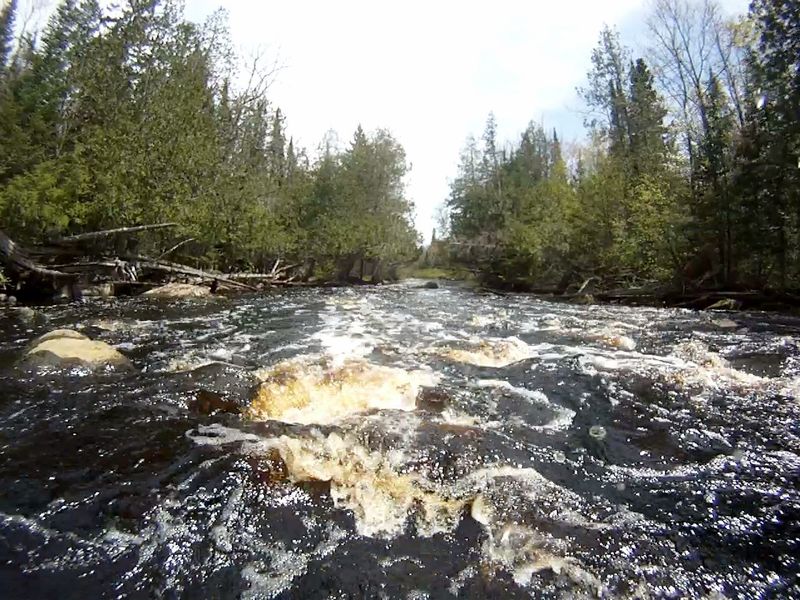
1,121 feet long. Ends at takeout on right just past NT bridge
Feb 28, 2018
Some of those that are visible from Google Maps are at (45.769808, -88.552061) (45.770014, -88.554737) and (45.765667, -88.536534). Most are passable.
Feb 28, 2018
Built in 1880 and rebuilt in 1890. The history can be read at this website: http://www.genealogytrails.com/wis/florence/fence\_history\_75\_page\_1.htm
Jul 9, 2015
At 1121 feet long, this photo is from the part above the turn and is tight with a series of separate, small drops over boulders. The rapids goes around the corner an ends at the Newald Tower Rd takeout.