Popple
A) MacArthur Pine Rd to Newald Tower Rd. (21.2 miles)

Feb 28, 2018
Some of those that are visible from Google Maps are at (45.769808, -88.552061) (45.770014, -88.554737) and (45.765667, -88.536534). Most are passable.
Feb 28, 2018
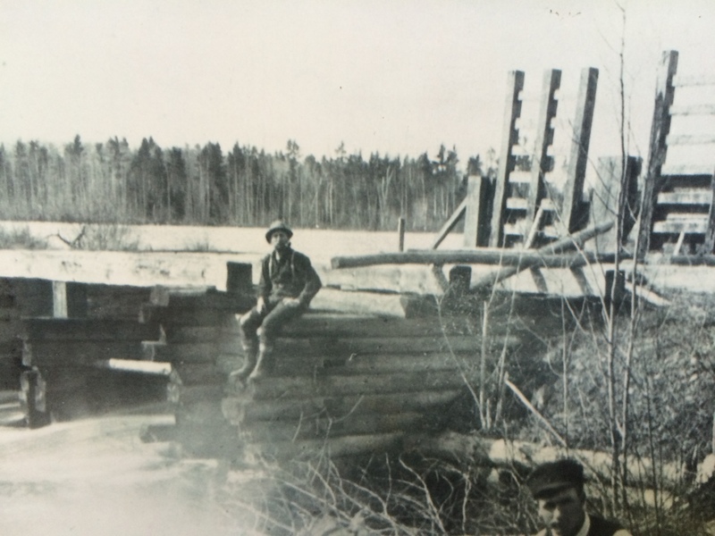
Built in 1880 and rebuilt in 1890. The history can be read at this website: http://www.genealogytrails.com/wis/florence/fence\_history\_75\_page\_1.htm
Jul 9, 2015
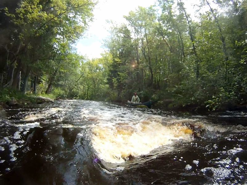
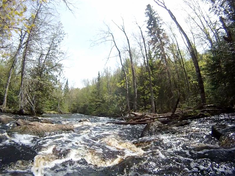
At 1121 feet long, this photo is from the part above the turn and is tight with a series of separate, small drops over boulders. The rapids goes around the corner an ends at the Newald Tower Rd takeout.
May 22, 2015
45.794651, -88.696761
May 22, 2015
45.793422, -88.739974
May 26, 2013
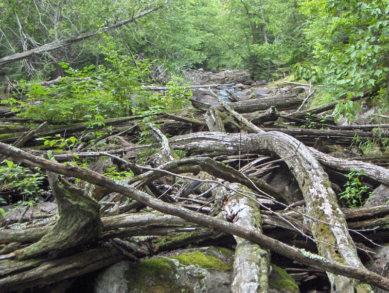
Rapids are 1,963 feet long. There is at least one major log pile requiring a 1,800 foot portage (on left) without trail, mostly through upland forest
May 26, 2013
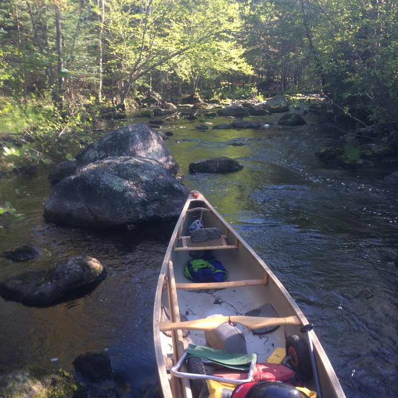
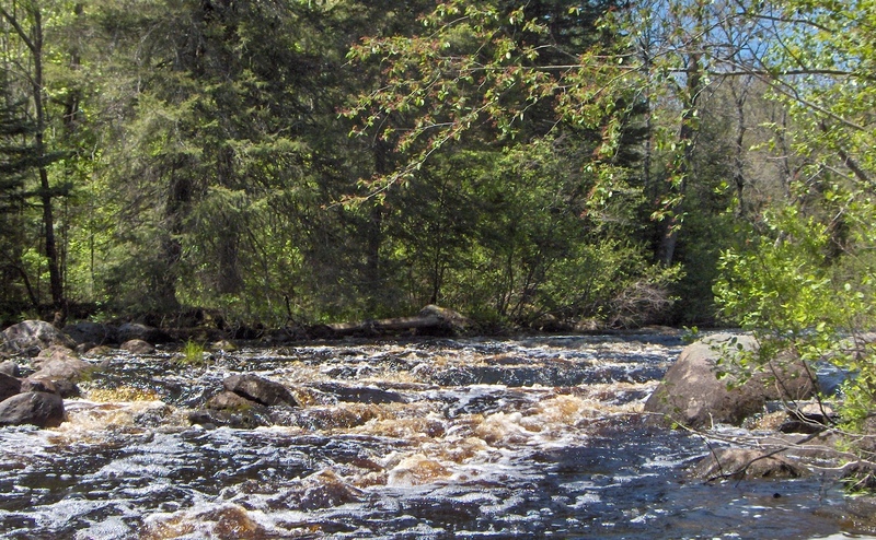
This rapids is a good wake up from the 5 miles of flatwater paddling since Cedar Rapids. It is 323 feet long and about a quarter mile to NT Rapids and the end of this reach.
May 26, 2013
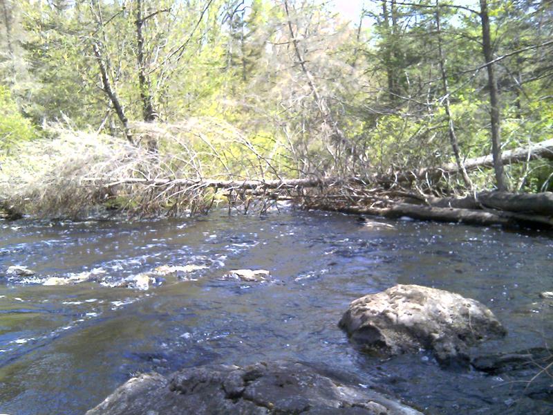
This is the typical spot (45.768634, -88.593923) to find a down tree or pile of logs blocking passage. It has accumulated more trees since this was taken. The bushwhacking carry around is on the right
Sep 26, 2010
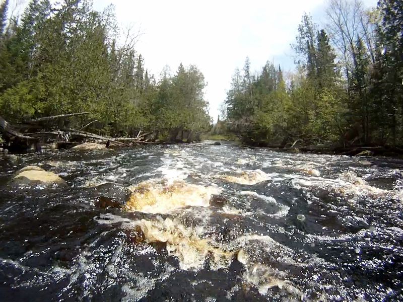
Length is 1,121 feet. This part, beyond the turn, is open and bounces steadily towards bridge. Above the turn is a series of separate, small drops over boulders
Aug 8, 2009
This permanent log pile blocks passage and requires 1,800 foot, no trail portage mostly through upland woods
Jun 3, 2009
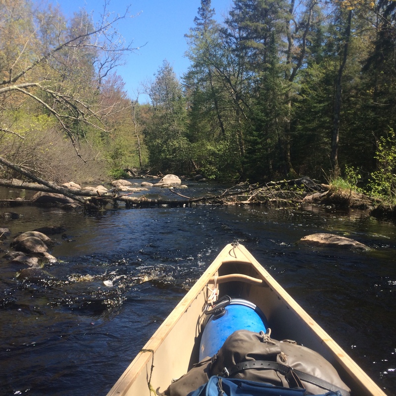
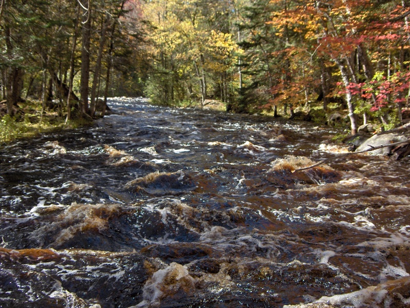
Low Flow look at 1 of 8 rocky runs in this 2,138 foot long rapids