Salt
02. US 60 to Hwy 288 above Roosevelt Reservoir
| Difficulty | III-IV |
| Length | 58.4 mi |
| Avg Gradient | n/a |
| Permit | Lottery for river permits Mar 1 through May 15. Applications due Jan 31. |
| Gauge | Salt River Near Chrysotile, Az |
| Flow Rate as of 1 hour | 68 cfsbelow recommended |
| Reach Info Last Updated | September 29, 2025 |
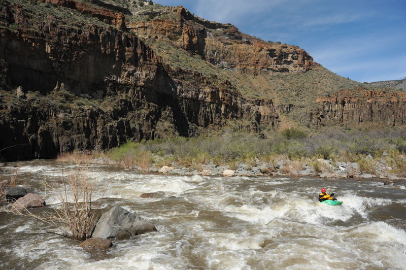
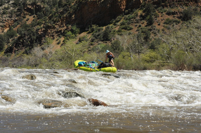
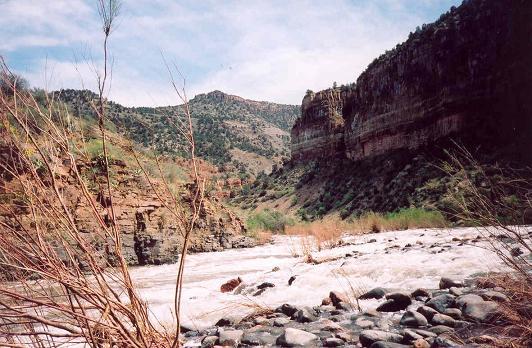
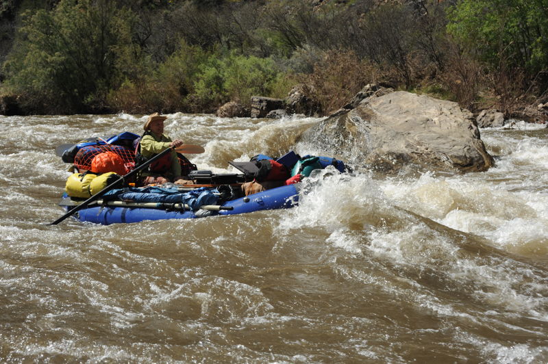
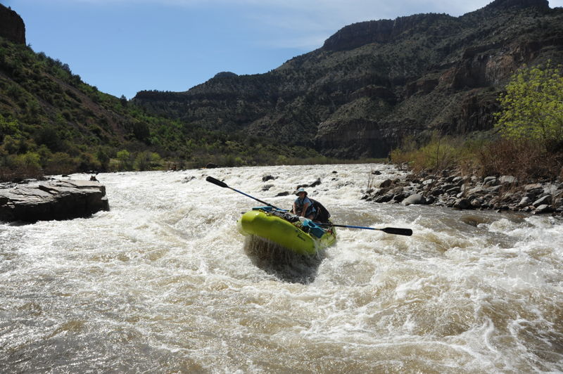
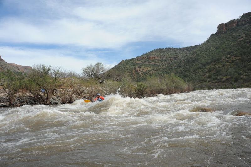
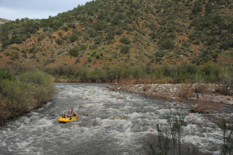
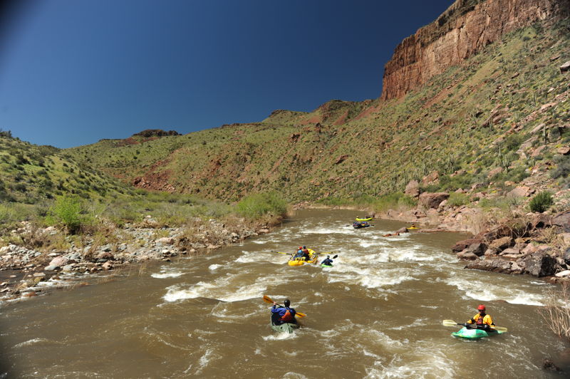
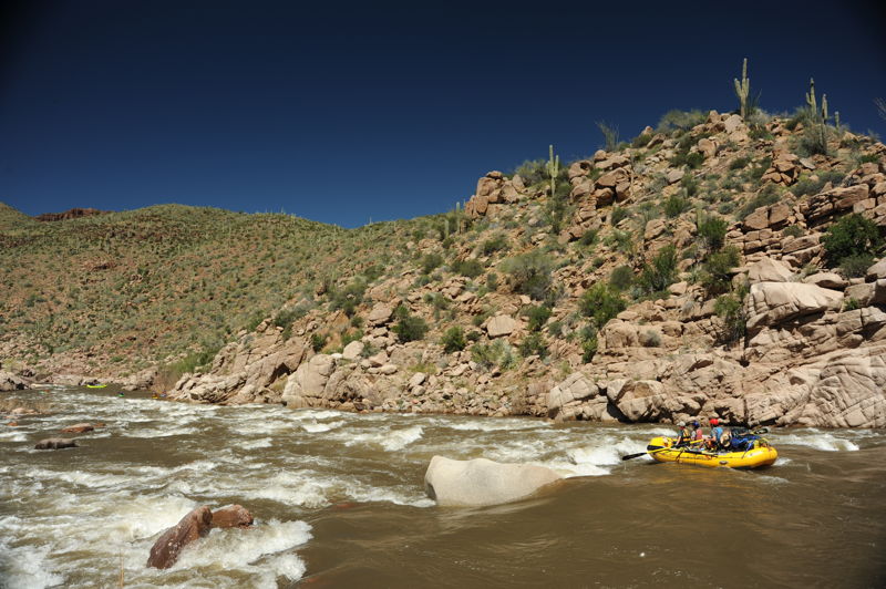
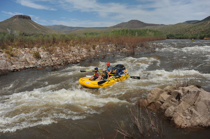
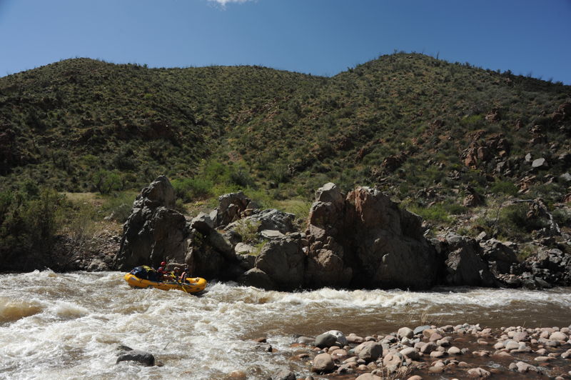
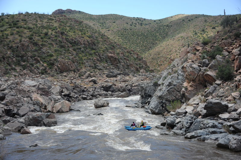
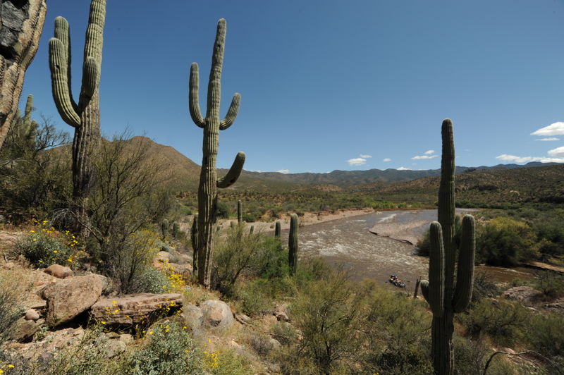
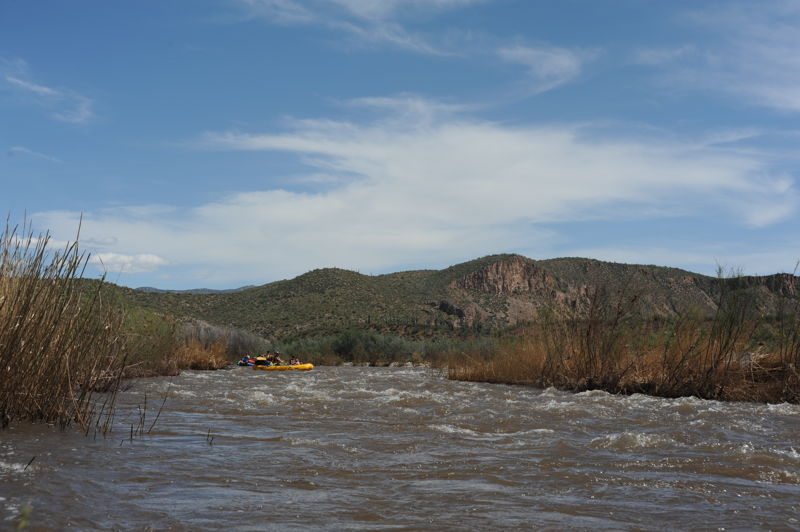
The first part of this run can be done as a day trip before the river leaves the road behind for a wonderful multiday run on the Upper Salt from the Salt River Canyon Bridge on Highway 60 to Roosevelt Reservoir. The trip can be done in as few as 2 days but 4 or 5 days allows for a more relaxed pace and opportunities for hiking. Those doing the multi-day trip have the opportunity to enjoy 30 miles of whitewater in a spectacular Sonoran Desert canyon, followed by a serene 20 mile exit float. For gear-hauling rafts, a minimum flow of 1,200 cfs is recommended. For kayaks and packrafts the rapids are enjoyable down to about 400cfs. The infamous rapid Quartzite is a solid class IV at most levels without the class V consequences that existed at high flows before it was illegally blasted.
A Wilderness permit from Tonto National Forest is required from March 1st to May 15th; the wilderness begins 20 miles downstream from Highway 60. A permit from the White Mountain Apache Tribe is also required for boaters on the upper portion of river flowing through the Reservation which includes the approximately 29-mile stretch of river downstream from First Campground and the Highway 60 Bridge put-in. The Tribe enforces this requirement and it is important that boaters respect their sovereignty and authority.
Video: Packrafting at 900cfs with rapid names
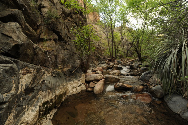
First Campground (Highway 60) to Hoodoo River Access (9 miles, class III)
The first 9 miles of the run can be enjoyed as a day trip (with a permit from the Tribe) or the start of a mult-day river trip. There are five class III rapids in this section and several good river camps for those on an overnight trip. Road accessible camps are also available on river right that are typically utilized by those on day trips. Access points on this section include First Campground Access, Cibecue River Access, Mescal River Access, and Hoodoo River Acce
...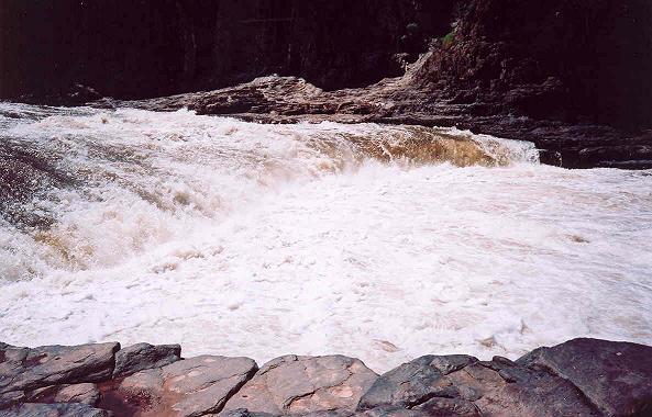
Apache Falls is a large nearly unrunnable waterfall ledge above the put in for the Salt Canyon run. Running the ledge is illegal.
Island Rapid is a wave train with holes. Unless the river is above 1200 cfs it is best to avoid this rapid by using the normal access point at First Campground which is just downstream of this rapid.
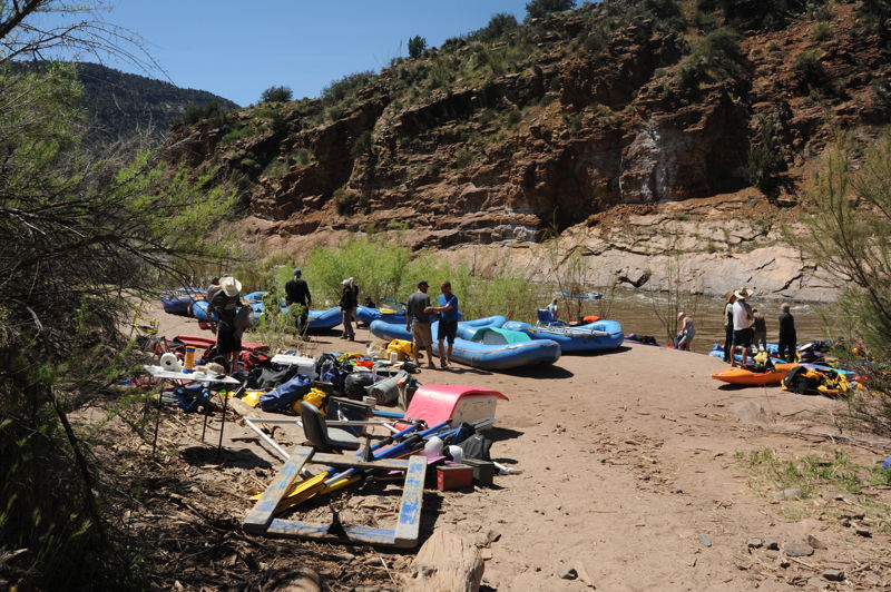
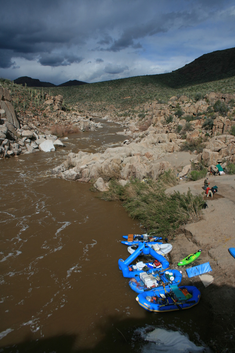
Most boaters use this access point for the put in located on river right just downstream of the Highway 60 Bridge. There are separate launch areas for public use and outfitter use. This is a good place to camp the night before your trip. A small class II rapid, Kiss & Tell, is immediately downstream.
Short drop over a cobble bar just downstream of the put in.
Short drop over a gravel bar where careful route selection is important at low water to avoid getting stuck.
An island divides the flow. The deepest channel is on river right.
A big boulder in the center of the channel. The main line is around the right.
A shallow shoal on river left that is best run down a chute to the far right bank.
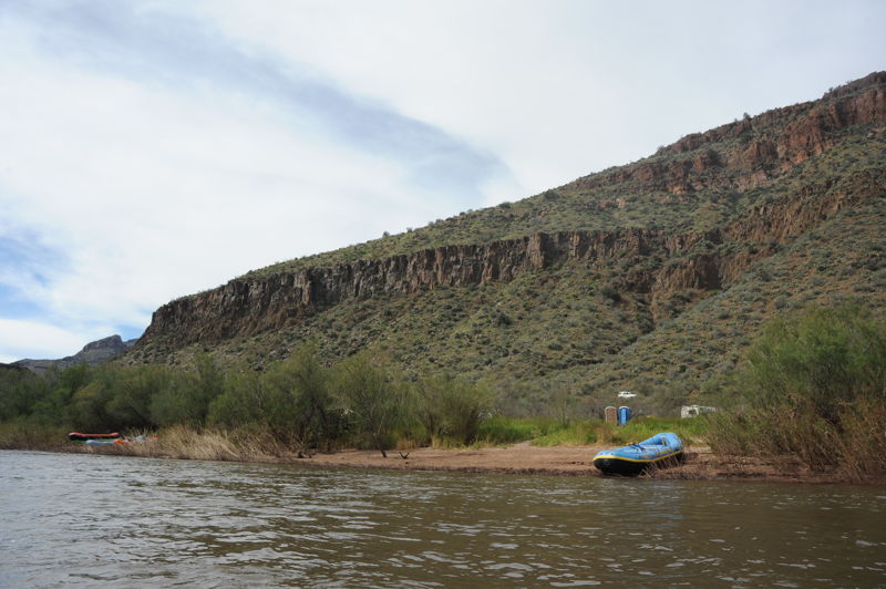
This is a designated primitive campground managed by the White Mountain Apache Tribe. It is popular with outfitters during the rafting season for those doing day trips.
A big wave train with some great play waves .
This river access point sometimes washes out when Cibecue Creek floods.
Rapid formed by the outwash from Cibecue Rapid.
The river splits around islands with most of the flow going around to river right.
Some boulders to avoid particularly at lower flows.
A rock strewn wave train with occasional play holes.
Unimproved access near the end of the day trip section.
Unimproved river access and the last option at the end of the day trip section.
A cobble bar pushes most of the flow to the right. The Salt Banks are at the bottom of the rapid on river right where water coming in is very saline forming impressive salt deposits.
Ledges rapid is formed when the river flows over several low angle quartzite ledges. This rapid has some of the best play waves and holes on almost any river.
Stay clear of the hydraulic on river left where the river flows over a rock ledge.
A number of rocks and features to navigate your way through the 'garden.'
A cobble bar rapid that is just above Rat Trap.
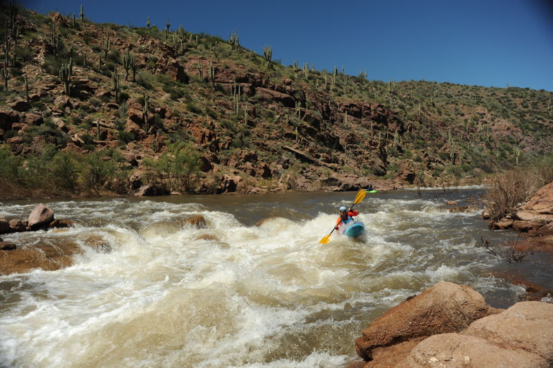
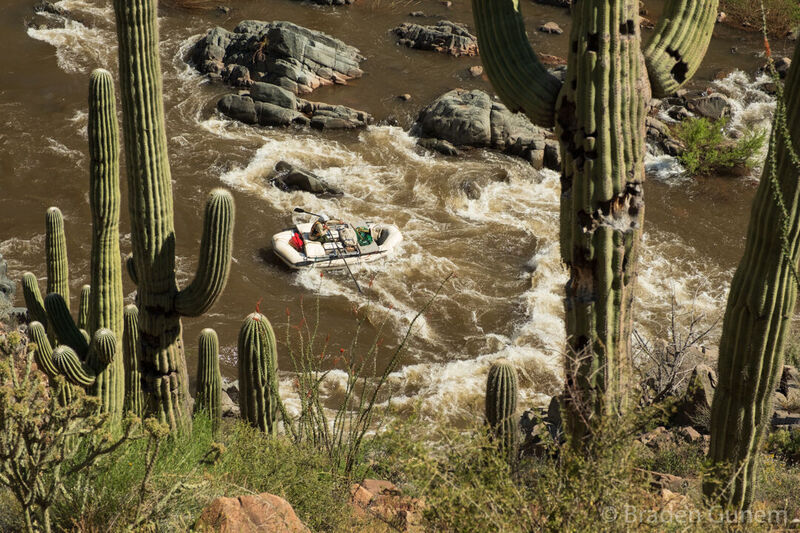
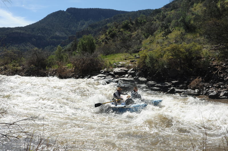
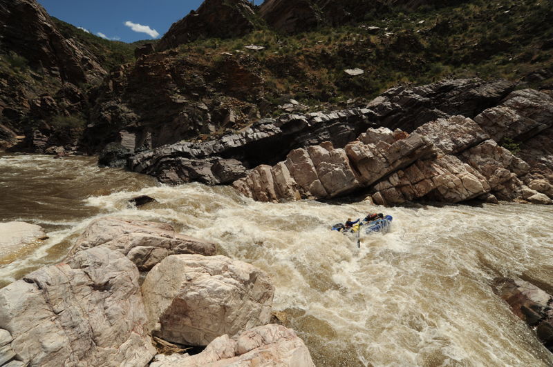
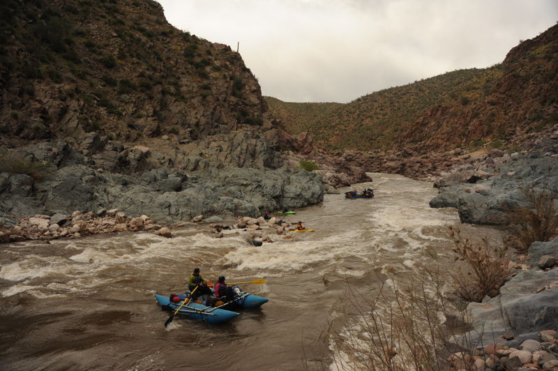
A long rapid with big exploding waves and large holes. Rat Trap marks the start of a micro canyon of polished granite. The next 5 miles are reminiscent of California whitewater.
Polished boulers, boiling eddies, irreglar waves and holes are common for the next few miles.
Canyon Creek flows into the Salt on river right. This creek can be boated at higher flows. It is a good option for a lunch stop and hike up the drainage.
Just past the confluence of Canyon Creek, Granite Rapid is probably the largest rapid in the microgorge and marks the final drop before Gleason Flat.
Gleason Rapid is a minor rapid just upstream of South Gleason River Access. This intermediate access point can be reached by a four-wheel drive access road that enters the canyon off Forest Road 303B. From this point downstream, wilderness permits from the Forest Service are required.
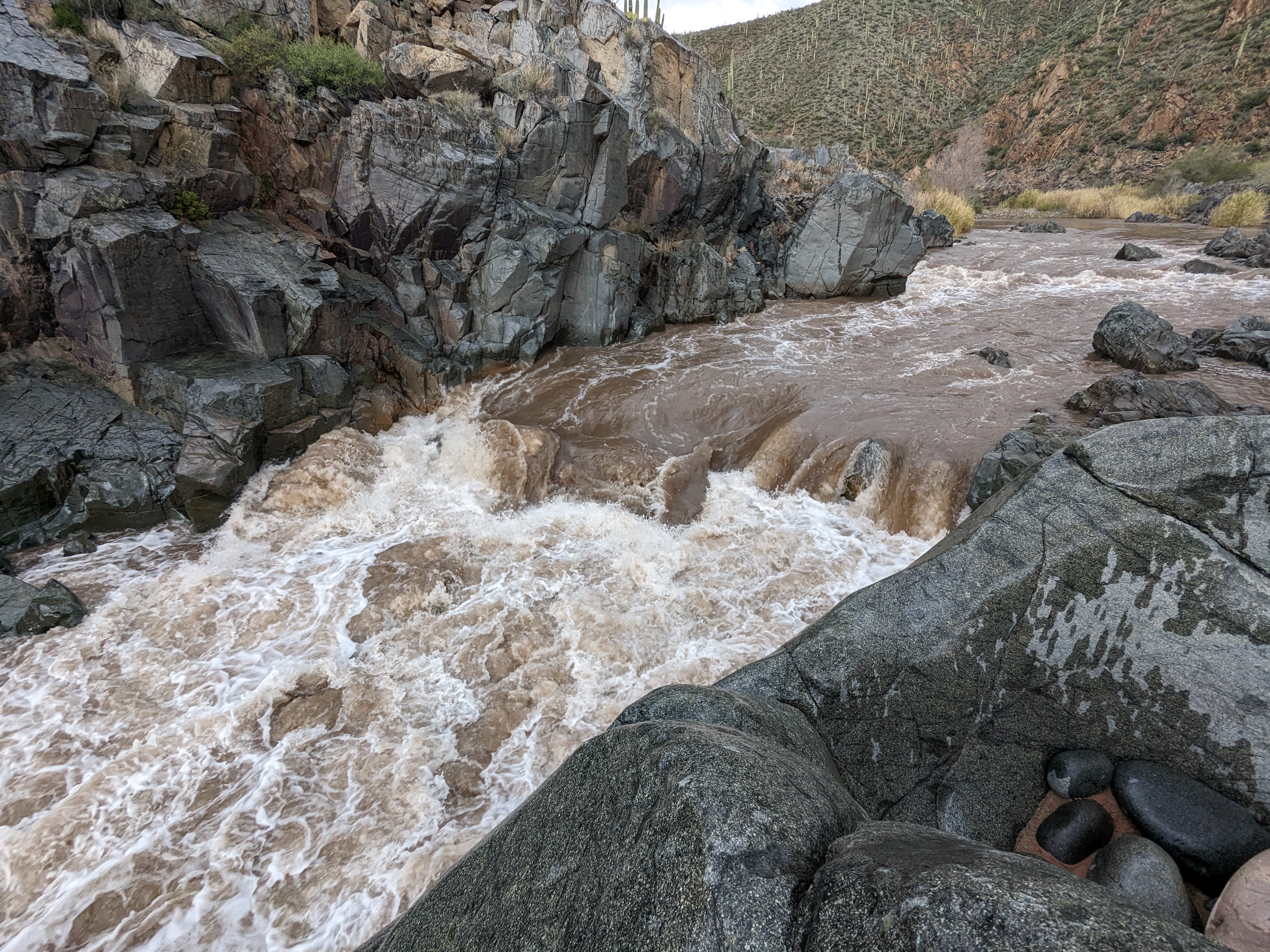
The Salt enters another granite microgorge and is pinched down as it flows over a ledge with a powerful hole. Scout on river left.
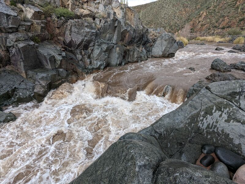
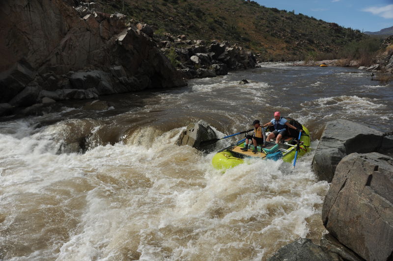
Black Rock is the final rapid in a small micro gorge. The Salt is choked with sharp boulders and drops over some ledges and the preferred line is not readily apparent as the river disappears around the corner to the right. The line changes at different flows, particularly because there are rocks in the water after the ledge that can be partially covered. With enough flow, rafts will typically run river right near a 6' pourover. Kayaks and packrafts have different lines depending on the flow, either dropping off a ledge or following the tongue and punching through the hole river left. Watch out for the boiling froth and then the current pushing hard left up against an undercut rock immediately after the rapid. Rafts scout from far upstream river right, kayaks scout river left.
The Salt is split by a huge boulder. Most rafts must run right but hard boats can run slots down the left.
A wave train with a huge hole in the center at higher flows. This rapid marks the transition between White Mountain Apache Tribal Lands on river right to the Tonto National Forest.
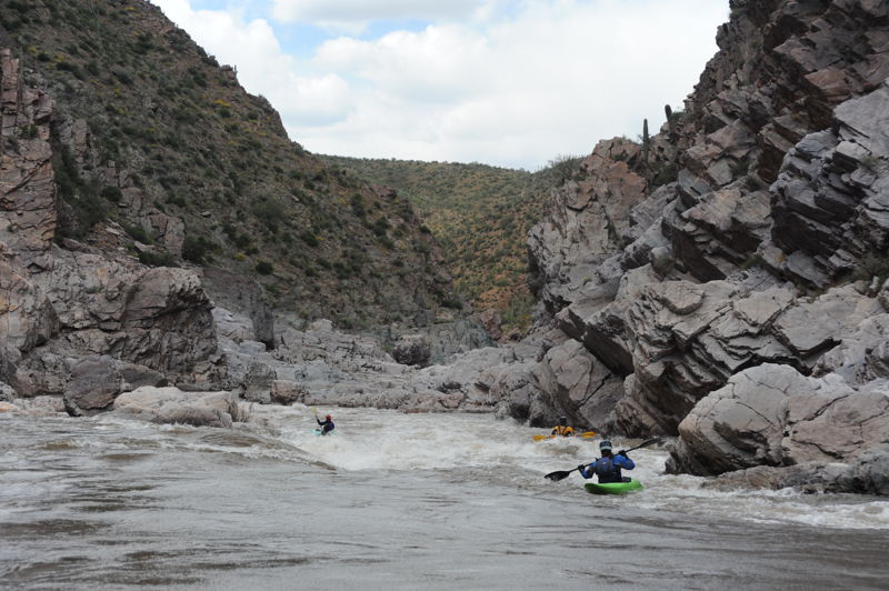
Pinball has everything from large waves and holes to boiling eddies. Don't swim here or you could wash into Maze, a dangerous rapid.
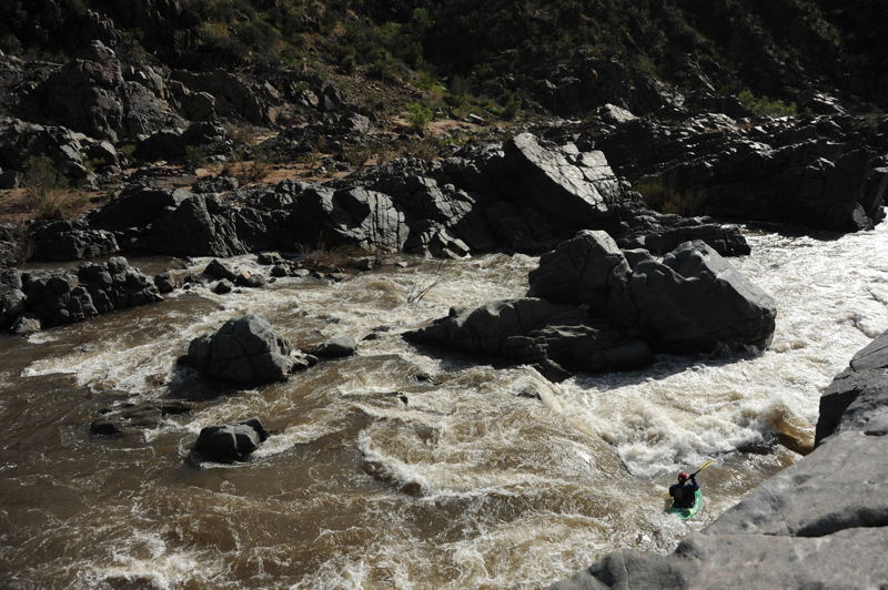
Maze is a complex rapid that starts with a pair of big holes on river left and then snakes around a corner toward the right to feed a narrow canyon with boiling eddies. This is not a fun rapid to swim or flip a raft.
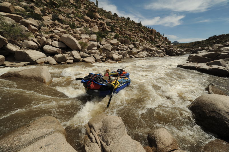
Quartzite Falls was once the bane of Salt raft trips, a challenging class V rapid. At almost all flows it involved a half day portage and difficult rope work. Those days are gone becuase the falls, as they existed, were destroyed with dyanamite that was used to blow the lower lip off the falls. The rapid is now an easier class IV rapid with a small but shallow hole at the base on river right that can still flip a loaded raft. This once infamous rapid is still one of the 'big drops' on the Salt. The traditional scout is reached by stopping well upstream of the rapid and hiking up to the ridge on river left. It's hard to get a good perspective on the drop from this view. Depending on flows, those with good boat control and eddy catching skills can also potentially land just above the drop on river right. A run down the left is possible but a standard line is center right. If you do this line you need to pivot your boat to square up to the lateral that comes in from the right. This lateral can easily flip a loaded raft and you have a short recovery pool before you reach Corkscrew which is another class IV drop just downstream.
Corkscrew is still one of the biggest rapids on the Salt. This complicated wave train has huge hole and exploding waves. A swim here can be long and rafts can flip here at higher water. Often boaters forget about Corkscrew in the excitiment of Quartzite Falls. Portage from river left.
An easy line down the right once you pass the hole near the top on the right.
Cliffhanger is an easy shoal with a huge rock in the main flow. The eddy on river left near the big boulder is very difficult to escape in a raft.
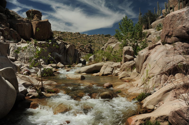
A nice side hike with clean clear water on river right.
This is a straightfoward gravel bar rapid as the river bends around to the right. It serves as an alternate access point and the launching spot for tubers during the summer.
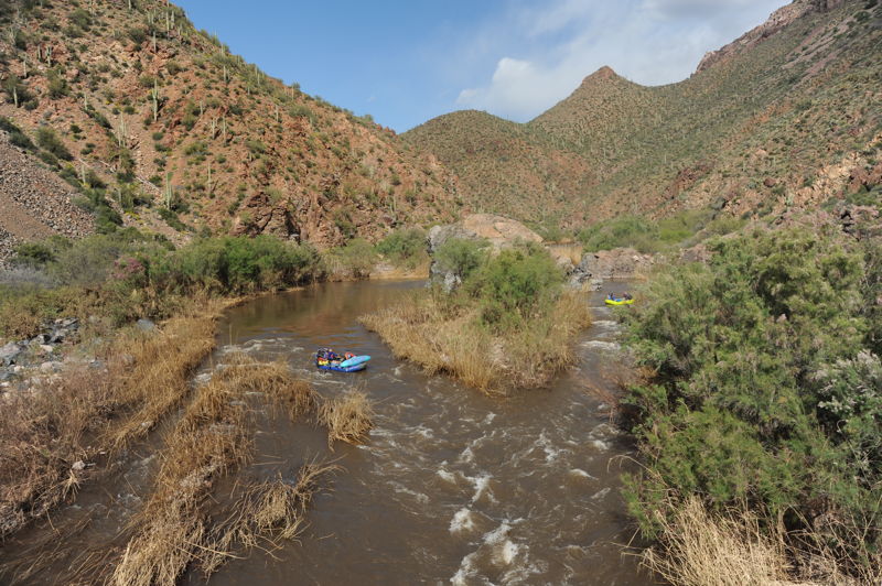
A minor riffle and the end of the whitewater.
Coon Creek is a fun side hike with opportunities for exploration. If you have a few hours you can hike up and over the ridge and then down Dry Creek and Chalk Creek.
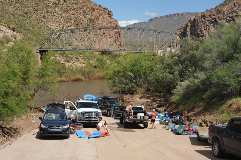
Take out on river left just donwstream of the bridge. A nice ramp provides access to the river.
This 3 foot dam creates a lethal hole. Take out at the bridge before this artificial drop.
Mar 21, 2024
Dup and I snagged a cancellation permit after the Jubilee got cancelled in NM. Flows bumped just enough to keep things moving after the first couple days. I ran Black Rock 2 years ago at 275, got a nice boof off the ledge and then got pushed against the undercut rock bank and flipped. This year we walked it, not able to find a line we liked at 650 cfs. We ran everything else, with swims on Rat Trap (those dual laterals make running the tongue real tricky) and Devils Pendejo (moving across current is really hard as the river constricts, if you want to move left to right to avoid the hole you have to really dig).
Weather was perfect, partly sunny, warm, punctuated by short rains and lightning.
Quartsite was no big deal at these flows. Corkscrew definitely merited a look, we took a fun line enterting the rapid river left and boofing off a ledge into the meat of the rapid.
Mar 9, 2020
started on Salt at 800 on 3/6/20. Ran the first five miles and it 4 hours in rafts both gear and paddle rafts. It is just too bony down to camp 2. If its this low save your energy and ask your shuttle driver ahead of time to start you out at camp 2. This is where all the guides live during the season.
Once past this point the rocks are not near as bad and you can make it the rest of the way to the take out without too much incident. Remember between 800 to 1000 start at camp five if you are bringing bigger rafts.
At this level the line through the maze was weaving through on the left and then to the right wall for the run out rapid.
Also Black Rock was an easy run with simply scouting right staying right down the v wave train and then 3 feet off the fin in the middle to the right.
Quartizite was much harder at this level then it looked like at other levels and on U tube. The only move is on the right the left is all rock. There is a very tight squeeze and right after the squeeze a large rock is in the way. We had one boat pinned on this for quite a while before help came to the rescue. A paddle boat with multiple guys to push a 14 foot boat filled with water off the rock. Nothing was lost or broker but the rock is sticky and two other boats also almost got stuck there. At higher water it would have been easier.
Also eye of the needle and quartzite claimed oars on our 15 foot raft and 14 foot cataraft. The problem is our boats were too wide and when we pulled the oars straight in they still stuck out and in Quartzite this broke the oar while flipping the 15 foot raft. And in eye of the needle the same without flipping the boar. Bring your oars all the way forward or in all the way back to avoid this.
After corkscrew the river picks up and it really is easy to make time if you need to get out. There is no scouting just beautiful views.
Apr 7, 2019
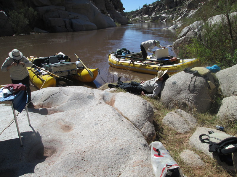
This was a family and friends trip over spring break with 4 rafts and a few kayaks over 7 days which was a good trip length and allowed for side hikes and a layover day. A few members of the group drove the gears and others flew in and out of Phoenix. Those who flew in rented vehicles for the week that were shuttled. We camped at the put-in on Saturday night. We riggged and launched at noon on Sunday (1730 cfs) and camped below Three Way Rapid on night 1 at mile 7.3. On Monday (1680 cfs) we camped at an umarked camp at mile 14.8. On Tuesday (1780 cfs) we did the Canyon Creek hike and ran Eye of the Needle and Black Rock and camped above Hess at mile 25.4. On Wednesday (1950 cfs) we ran the Maze, Quartzite, and Corkscrew and camped at mile 35.9. On Thursday (1980 cfs) we did the Cherry Creek hike and camped at Coon Creek at mile 44.6. Friday (1730 cfs) was a layover day at Coon Creek. We did the Coon Creek to Chalk Creek Hike and Ruin Hike. Saturday (1520 cfs) was our take-out day. It was 2 hours from Coon Creek to the take-out and we were off the river by late morning.
Mar 11, 2019
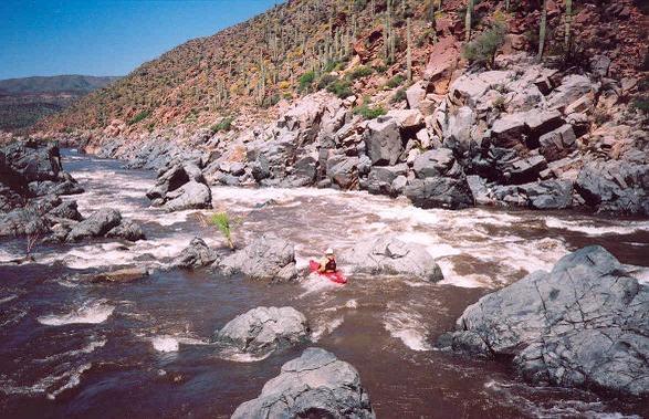
Relatively new to boating, I finally got to run the entire wilderness section. We ran in self-support duckies around 5,000 cfs. This was a trip where we set out to explore and push our personal limits as class III boaters. The river was big and powerful, off course, but surprisingly forgiving, I thought, based on my day-run experience on the Salt at 2000 or less flows. The hydraulics, boils, and horizontal recirculations in the gorge areas were very tricky and tended to turn unwary kayakers. Scouting the named rapids proved to be invaluable. I did not swim once in my AIRE Outfitter II, and my friends paddling loaded Tomcat I's and an out-of-balanced AIRE Force only swam five times each, with several of those swims being nothing more than unforced errors. They all had great 'IK Rolls,' (self-rescue and recovery on the fly)and were back in there boats and paddling even after getting hammered in the big waves of Black Rock and Corkscrew. Their slim bodies, strength-to-weight ratio, and their physical condition was key. I do not recommend this river at this level to anyone without a roll. Having to chase a swimmer and his boat down the river in the gorge sections would have put a damper on the trip for everyone.
Being in kayaks gave us one advantage over a raft: we were able to scout big rapids much closer, giving us the ability to portage if necessary. Black Rock and The Maze have class III kayak sneaks on the left.
This was an awesome, bucket-list trip for me!