McKenzie
5. Finn Rock to Leaburg Dam

| Difficulty | II(III) |
| Length | 15 mi |
| Avg Gradient | n/a |
| Gauge | Mckenzie River Near Vida, or |
| Flow Rate as of 27 minutes | 1920 cfsIIlow runnable |
| Reach Info Last Updated | April 14, 2025 |
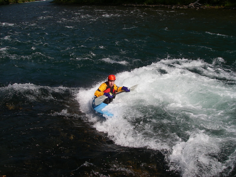
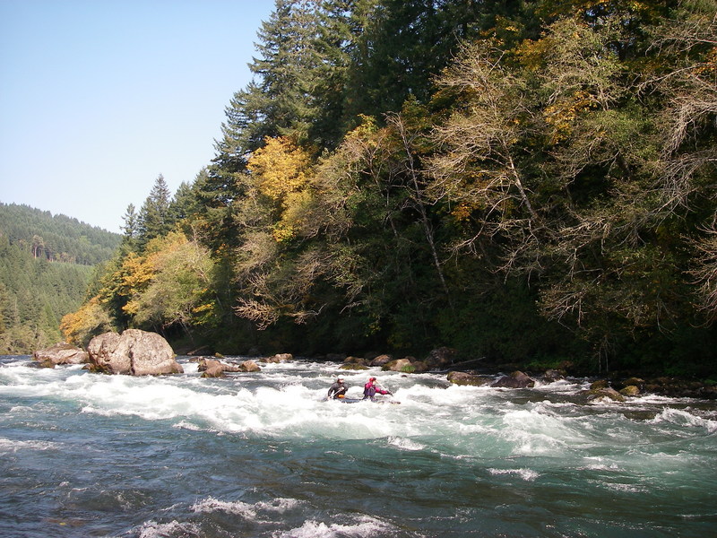
With a long season, convenient access to Eugene, great scenery, and a couple great playspots this is the most popular section of the river. It's a great river to learn on as those new to the sport can follow a guide down more conservative lines while experienced paddlers can enjoy a number of fun playspots.
Playboat levels:
2.4-2.9 ft is ideal for Neil's Wave, it can be caught on the fly higher, but tends to wash out, and eddy service gets lost.
The very top hole in Clover is fun when low, other waves come in below the main river right wave as the level comes up. 3.5+ always has something surfable there.
The run from Finn Rock down to Prince Helfrich Landing is a great day trip. Several access points provide a diversity of options including park and play at Clover Point. Many kayakers enjoy the Mom's Pies run which starts at the informal access at Mom's Pies just above Clover Point and takes in the best playspots on the run. The most challenging rapid on this section is Marten Rapid which is a solid class III at medium flows and the most challenging drop on the run. You can always take-out above this rapid at Ben and Kay Dorris State Park. Prince Helfrich Landing is located just after this rapid.
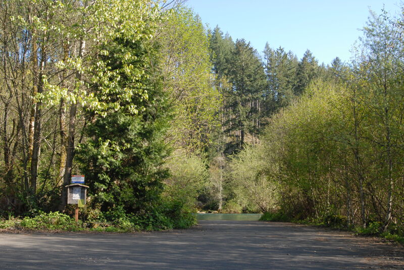
Access: Finn Rock is the main put-in and works well for rafts. To reach this access head to Highway 126 mile 37.9 and turn onto Quartz Creek Road which takes you across the bridge to river left. A good ramp is available on the upstream river left side of the bridge.
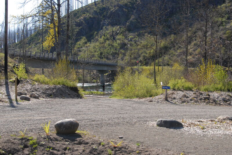
The take-out for the full run just below Marten Rapid is Prince Helfrich Landing. It is reached by driving to Highway 126 mile 38.5 and then turning onto Thomson Ln. which heads down to the river. You can recognize it from the river by the suspension bridge across the river. You can shorten the run by using one of several access points upstream or continue down to Leaburg Dam.
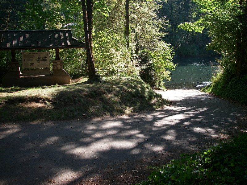
Finn Rock is a popular access point for a day trip on the McKenzie at one time owned by Rosboro Lumber Company before being purchased and signficantly improved by McKenzie River Trust following their acquisiton in 2015-16. The access works well for rafts. To reach this access head to Highway 126 mile 37.9 and turn onto Quartz Creek Road which takes you across the bridge to river left. A good ramp is available on the upstream river left side of the bridge. The site has a toilet, information kiosk, and parking area. Located at USGS river mile 54.
A fun little playspot early in the run. It is just upstream of the Nimrod Bridge. Located at USGS river mile 51.6.
Informal access at Clover Park on river right below Clover Rapid. This access can be used as a take-out below Clover for those doing a short playboating session at Clover. The access requires finding the trail through the blackberries on river right upstream of the old Nimrod Bridge.

A fun class II down the left side. Located at USGS river mile 51.
Waves down the left through Nells. Located at USGS river mile 50.6.
Silver Creek boat ramp is located at Highway 126 mile 33.9. Located at USGS river mile 49.9.
This access is at a Highway 126 mile 32.2. Located at USGS river mile 47.9.
Run the easy line to the right and avoid it or run the meat down the left. Located at USGS river mile 46.6.
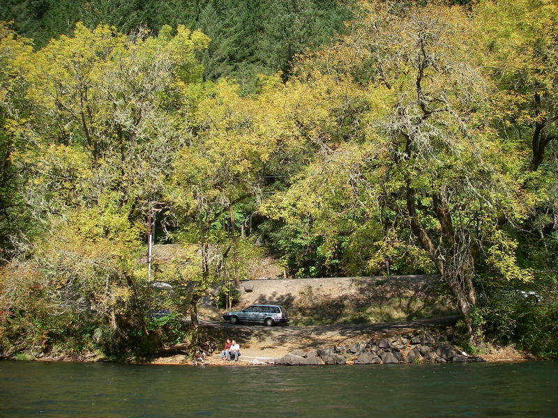
This access can be used as a take-out if you don't want to run Marten Rapid which is the biggest rapid on this lower section of the McKenzie. It is located at Highway 126 mile 29.1. Located at USGS river mile 45.
This is a great class III rapid that is the highlight of the run for those with skills to do so safely. An alternative take-out for those who don't want to run this drop is available just upstream at Ben and Kay Dorris State Park. Located at USGS river mile 44.8.
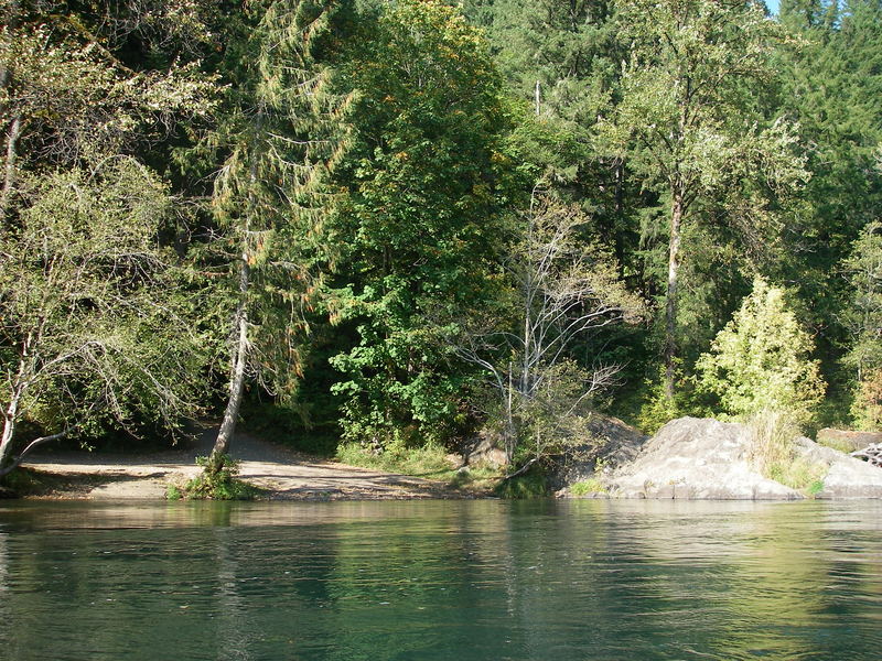
This is a popular take-out for one of the better whitewater sections on the McKenzie and is just below Marten Rapid. It is reached by driving to Highway 126 mile 38.5 and then turning onto Thomson Ln. which heads down to the river. You can recognize it from the river by the suspension bridge across the river. Located at USGS river mile 44.1.
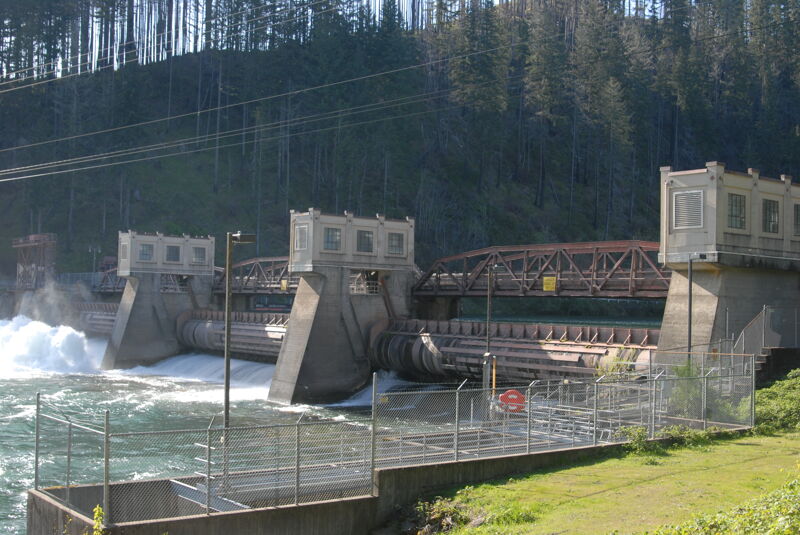
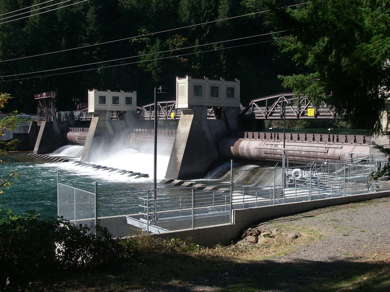
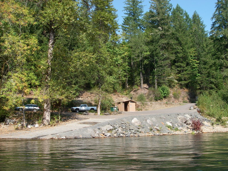
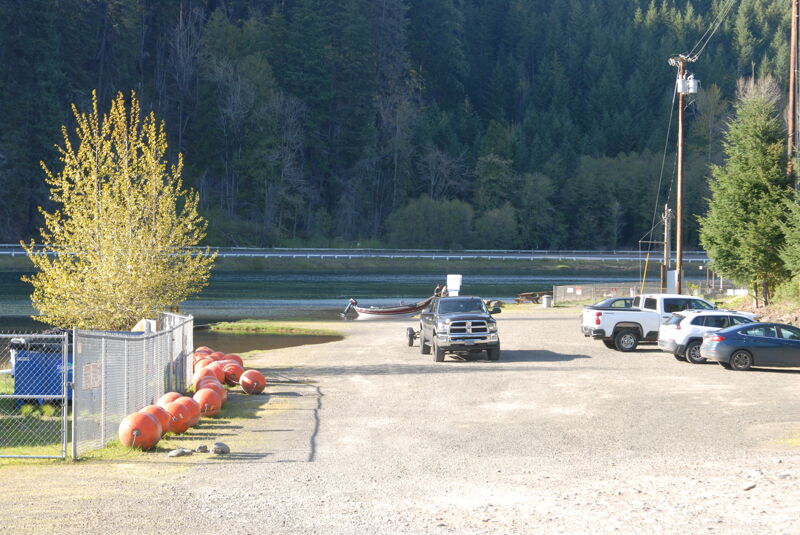
Access on river right where the river transitions to the reservoir at Leaburg Dam at Highway 126 mile 25.3. The access site is maintained by the Eugene Water and Electric Board as a condition of their hydropower license. It has a paved ramp, parking, and a toilet.
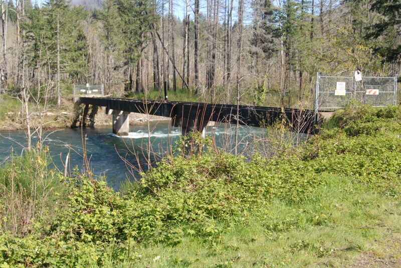
At Highway 126 mile 23.8 cross the river over Leaburg Dam. The last access before the dam is located on the upstream river left side of the dam. You can portage the dam and access the river immediately downstream of the dam on river left.
Apr 13, 2025
Site visit to access areas on the McKenzie River.
Dec 12, 2023
Finn Rock Landing Closure Announcement: The boat launch, parking lot, and restrooms will be closed until Spring 2024 for renovations. Improvements to the site will include a better road base, safer traffic flow, and the installation of new parking stalls, ADA-accessible walkways, fencing, bird-friendly lighting, picnic tables, and garbage receptacles.
MRT’s Executive Director, Joe Moll, acknowledges the disappointment of the temporary closure, “We understand that this construction closure will be a significant inconvenience for the many river users who launch or take out at Finn Rock throughout the year. We expect the site improvements to make the landing more accessible, safe, and enjoyable for all community members and visitors.”
MRT is excited to share an improved, more accessible Finn Rock Landing with the community in Spring 2024!