McKenzie
5. Finn Rock to Leaburg Dam
Apr 13, 2025
Site visit to access areas on the McKenzie River.
Dec 12, 2023
Finn Rock Landing Closure Announcement: The boat launch, parking lot, and restrooms will be closed until Spring 2024 for renovations. Improvements to the site will include a better road base, safer traffic flow, and the installation of new parking stalls, ADA-accessible walkways, fencing, bird-friendly lighting, picnic tables, and garbage receptacles.
MRT’s Executive Director, Joe Moll, acknowledges the disappointment of the temporary closure, “We understand that this construction closure will be a significant inconvenience for the many river users who launch or take out at Finn Rock throughout the year. We expect the site improvements to make the landing more accessible, safe, and enjoyable for all community members and visitors.”
MRT is excited to share an improved, more accessible Finn Rock Landing with the community in Spring 2024!
May 28, 2013
New log blocking the middle and right channels in Fishladder rapid, approximately 2 miles below Olallie. The hazard is difficult to see until you are committed. The only line remaining is a far left entrance and stay left. Scout fishladder rapid from the high bank on river right.
It is also possible to scout from road. These directions are not clear to me but if you are there they might make sense: Locate the pull-off where most raft trips launch: ~3/4 mile up the gravel road after crossing the bridge at mile post 17 (north of the McKenzie pass highway turn off) on highway 126 to a locked gate, then walk up the road another 200 feet and head for the river. Source: Gerry Orr on PDX kayaker, May 27, 2013.
Oct 2, 2006
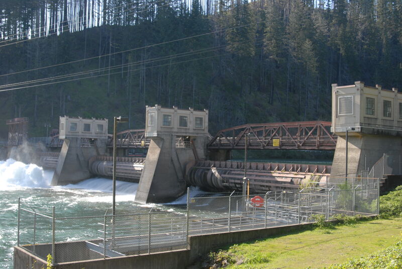
This Leaburg Dam is used to divert flow from the McKenzie River into the Leaburg Canal as part of the Leaburg Walterville Hydroelectric Project (FERC P-2496). Visitors can drive across the dam to recreation sites on the south side of the river.
Sep 30, 2006
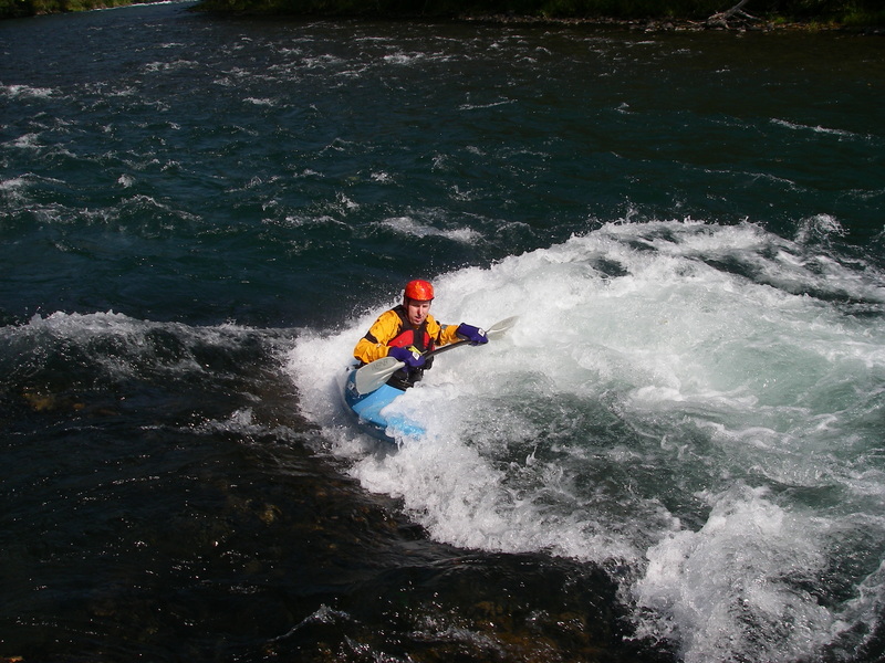
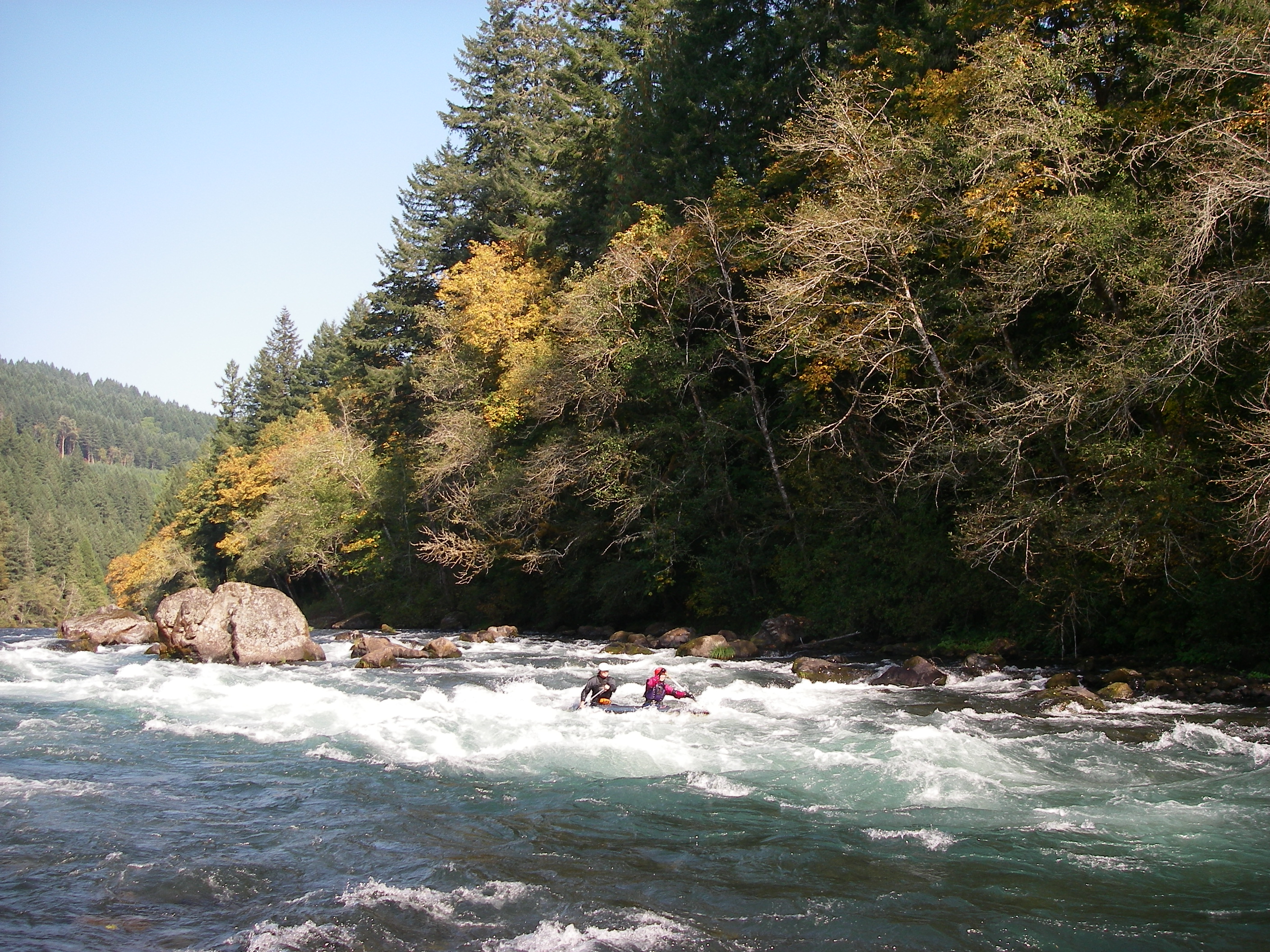
Out with the local crew on the McKenzie River.