Nolichucky River
2. Nolichucky Gorge Campground to Sawmill(Lower Noli)

| Difficulty | I-II(III) |
| Length | 5.4 mi |
| Avg Gradient | n/a |
| Gauge | Nolichucky River at Embreeville, Tn |
| Flow Rate as of 32 minutes | 4 cfs |
| Reach Info Last Updated | December 11, 2025 |
The mountains of North Carolina and Tennessee have hundreds of dams, yet only a handful of protected Wild and Scenic Rivers. These designated Wild and Scenic Rivers, like the Obed River and Wilson Creek, are beloved by locals and visitors alike. The Nolichucky River Gorge spanning the North Carolina [...]Read More
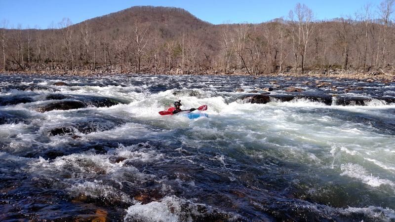
This is a great short stretch for novices with plenty of class II rapids. There is one rapid which could be considered a class III-; 'Radio Tower' which can be scouted with some walking on river left or right by novice paddlers running it for the first time. After Jackson Love bridge the river flattens out for a couple wide-flat miles before a couple small rapids just above Pyranha.
'Radio Wave' aka 'Radio Tower' named for obvious reasons, washes out at higher flows. Otherwise, the line is pretty straightforward, line up just right or left of center for the main wave/drop at the end of a shallow shoal section. The main danger here is the shallowness of the entrance to the rapid. Excellent recovery eddy on river left after Radio Tower.
At flows above about 2700 cfs, a really fun, extremely fast, exploding wave develops just at the takeout at Jackson Love Bridge.
Public USFS access area that can be used as a put in or take out.
A fun bedrock rapid that is suitable for lapping and learning. A handful of small ledges create chutes and wave-holes with lots of eddies at normal levels.
Radio Waves, or Radio Tower, is a fun rapid and the biggest on the run. Paddlers typically follow the water down the deepest channel and wave train, which leads to a small ledge drop of a couple feet, and then bounces off the river right wall at the bottom of the rapid. At very low water a navigable channel exists through the cobble entrance on the far right.
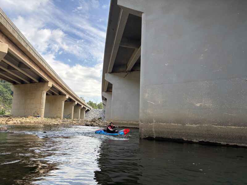
At least at lower flows, boaters typically start in the far left channel, go under Bridge #1 and then head right and back upstream for a line across the upstream side of the bridge untill the very far right channel is reached, which carries paddlers downstream under the bridge.
A neat little rapid that flows parallel to some bedrock spines and offers some waves and zoomy currents.
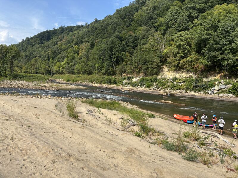
Approximate location of the public Sawmill Take-Out
Sep 2, 2025
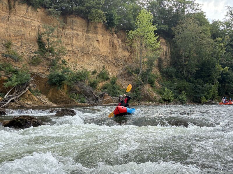
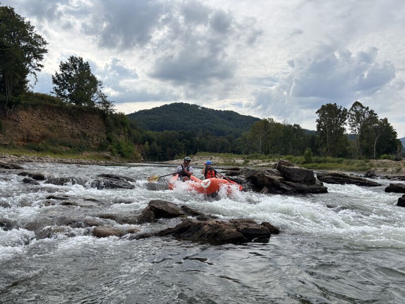
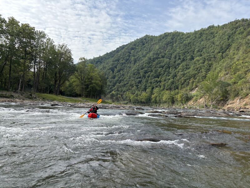
We made a very low water run and still found the river navigable without bumping many rocks. Even some rafts wiggled their way down the river. The hurricane certainly changed the river, but its similar in terms of whitewater and offers a mix of scenery that looks natural and also scenery that is pure-Helene. At this flow the waves and holes were very small, and the run was mostly a scenery trip with some technical moves.
Sep 16, 2009
There is a strainer at Duck and Cover. You can't see it untill you drop over the first area. I t is below the bigger drop and is hard to miss. The water level was only 473cfs, It will be hard to see at 7 or 800cfs. Be careful , if you were to flip going over the bigger drop it would be hard to recover before getting to the stainer.