Green River (Toutle Drainage)
Cascade Creek to Beaver Creek
| Difficulty | III-IV |
| Length | 11.4 mi |
| Avg Gradient | 44 fpm |
| Reach Info Last Updated | March 3, 2023 |
Washington’s legendary volcanoes – Mount Rainier, Mount St. Helens, and Mount Adams – are the source of wild, free-flowing rivers and streams that cascade over big drops and through deep basalt canyons on their way to the Columbia River. Rivers like the Clear Fork of the Cowlitz, Cispus, Green, [...]Read More
For current gate information for the Green River call 1-866-636-6531 (hit 2, then 2 again, and listen to the options).
Historic USGS gauge data, site 14240800.
Jul 10, 2015
Somehow its now showing as flowing above recommended here on the americanwhitewater.org site. It is very low right now, along with most everything else in the PNW. Its usually only runnable during winter time when rains support higher flows. I think its not reasonably possible to float it at summer low flows.
Jul 8, 2015
I ran this section several times in 2014 performing redd surveys for Coho as a WDFW employee. It is on weyerhaeuser land and recreational access is no longer available to the general public without payment/permit. Our floats were done in 10' oar catarafts in winter time at higher flows. There is no USGS gauge, so for relative comparison I obtained height/level readings from the measure sticks at the north toutle/green river hatchery facility downstream on the green just above its confluence with the north Toutle. There are two sticks, one at the hatchery intake and one at the fish weir maintained by WDFW. This run is possible in a kayak at lower flows than appropriate for cataraft where our minimum was about 1 foot 2 inches.
I am happy to submit a detailed trip report with photos, videos, and coordinates of the major drops and lines with descriptions. However I don't think people are going to have access here until Weyco changes their gates-closed policy. You might be able to access it from the 2500 road off hwy 504 just before hoffstadt creek park. Don't trespass or go through any open gates that might be closed when you try to exit. Be safe/aware around logging traffic on gravel roads.
Dec 17, 2014
46.378608, -122.455197
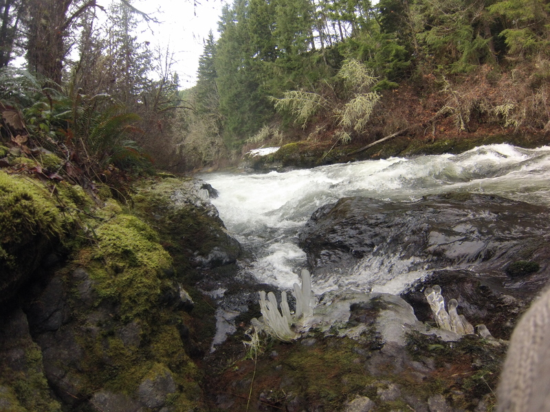
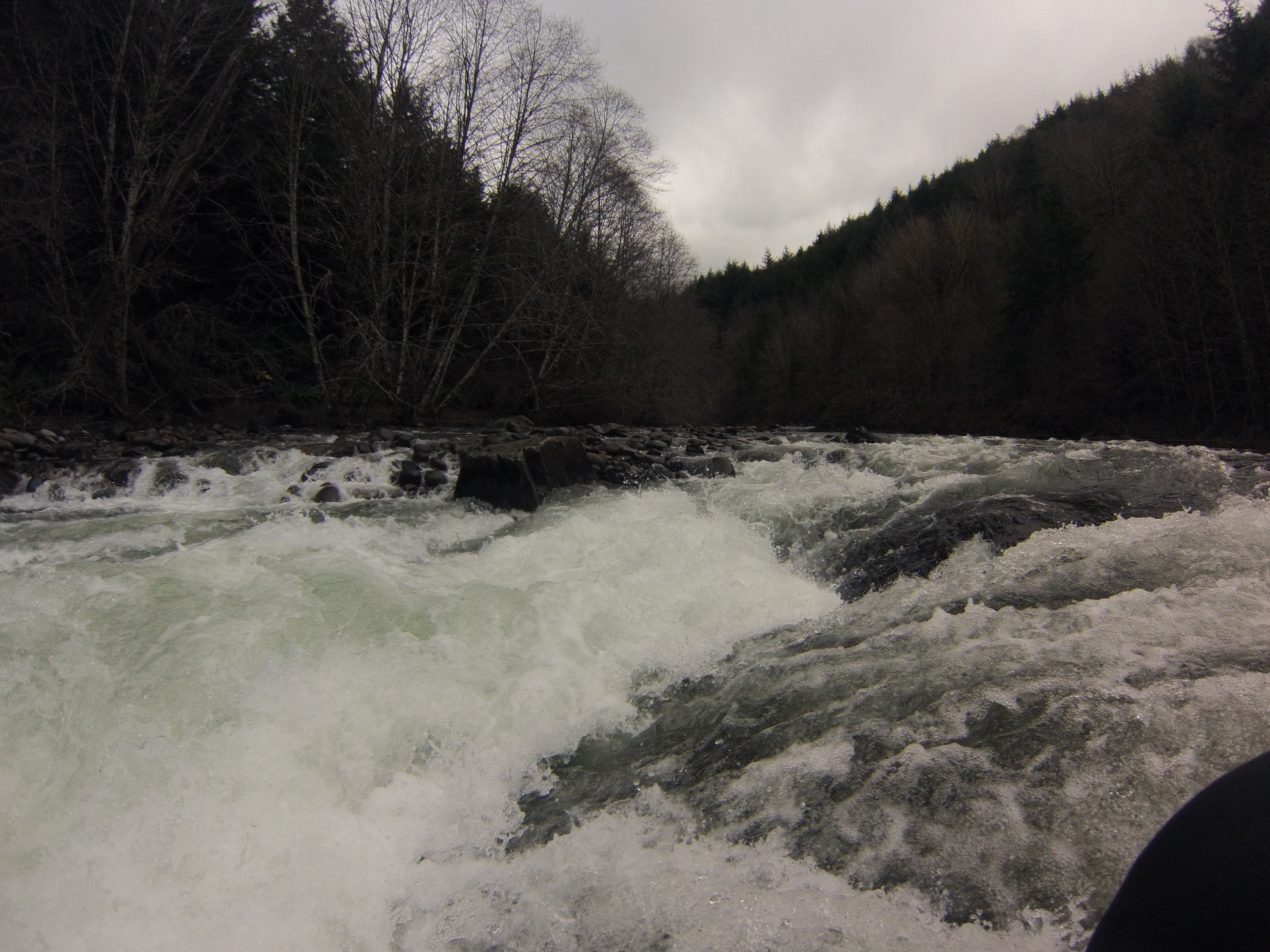
safe sneak on extreme river right, hugging the bedrock bank
Mar 15, 2011
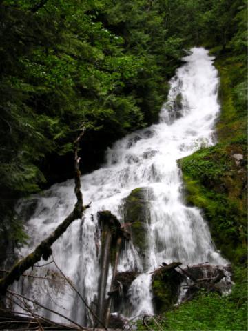
Minnie Lee Creek is a tributary to the Green River. The creek and falls carry the name of the nearby Minnie Lee Mine, which has been reclaimed by the forest.
Mar 15, 2011
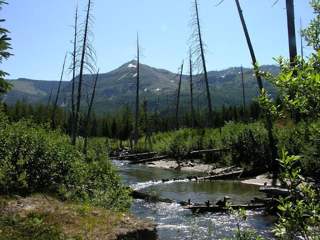
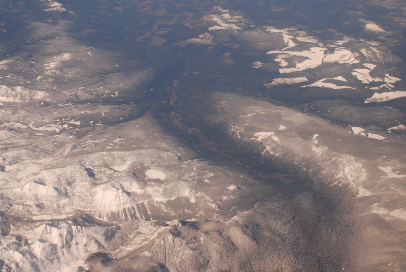
The headwaters of the Green River are in the Mount St. Helens blast zone. The river flows through naturally regenerating forest with remnant standing dead trees killed in the 1980 eruption.
Mar 15, 2011
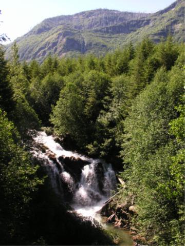
There are several unnamed waterfalls on the upper river.
Mar 15, 2011
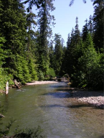
This reach of the river flows through oldgrowth forest that survived the 1980 eruption of Mount St. Helens.
Mar 6, 2009
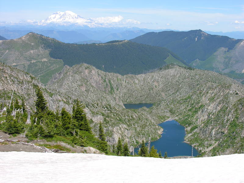
Looking west down the Green River valley from the headwaters near Mt. St. Helens.
Jul 3, 2005
Goat Mountain, location of proposed copper mine, in the Green River drainage. Photo taken from Boundary Trail #1 in the Mount Margaret backcountry, Mount St Helens National Volcanic Monument