Nooksack, S. Fork
River Mile 25 to Saxon Road
| Difficulty | II-III |
| Length | 12 mi |
| Avg Gradient | 37 fpm |
| Gauge | Sf Nooksack River at Saxon Bridge, Wa |
| Flow Rate as of 1 hour | 105 cfsbelow recommended |
| Reach Info Last Updated | May 25, 2025 |
ACCESS: There are issues with access to the river. Three options present themselves for runnign the full length of the South Fork.
#1: Buy an access pass with a key to get access to the gate. This is expensive.
#2: Hike or use a cart to get your boat 9.5 miles up the road to the bridge.
#3: The heroic paddle down through the 'Olivine Bridge' area which includes some class 5 and some lazy meanders.
Because there is no road running along the length of the river this is a long shuttle. From the junction of Highway 20 and 9 in Sedro Woolley, head 12.1 miles north on Highway 9 to the town of Saxon. Turn east on Saxon Road and in about 1.5 miles you'll cross the SF of the Nooksack. Continue another mile or so to convenient river access at a beach. To reach the put-in from Sedro Woolley, take Highway 20 east for 10.7 miles to the town of Hamilton, and the junction of a logging bridge over Highway. 20. Just west of the bridge turn left on Hamilton Cemetary Rd and head north. At 0.3 miles turn right at a stop sign the road will be gated here after about .5 miles. Then at the 'Y' stay on the pavement. At 2.35 miles after the left turn, you will leave the pavement. (Shortly after pavement end there is a junction road on the right to the top of Mt. Josephine). At 4.9 miles after pavement ends you have a choice at Lyman Pass which is the divide between the Skagit and Nooksack watersheds. You can take the left fork which descends 2.3 miles down to Larson Bridge, or continue upstream to the right 3.1 miles to another bridge that serves as an alternate put-in.
DESCRIPTION:
This run is Class 2+. Most of it is a gravel bar river, but there are two short gorges in black rock. The longest of these has several boulders about 6 feet in diameter, and a couple of small holes. This is a scenic run through a forest valley with no development.
Apparently access to this run is now closed due to the fact that it runs through private timber land which
...
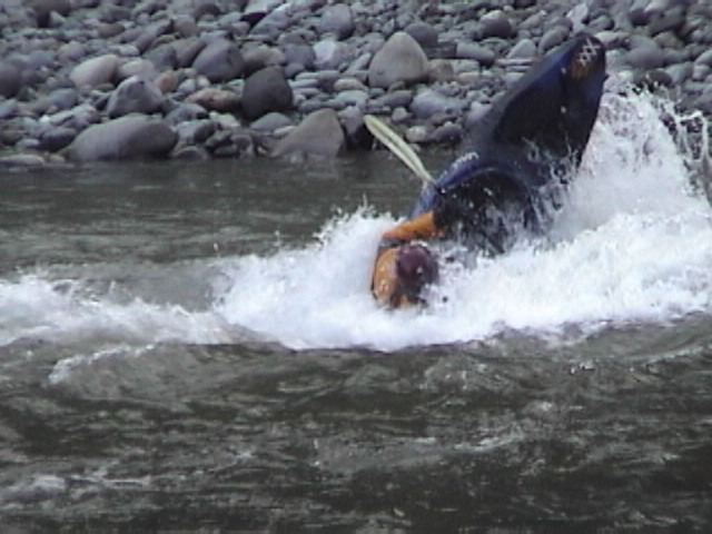
One of the more fun rapids is just at the put in bridge
May 25, 2025
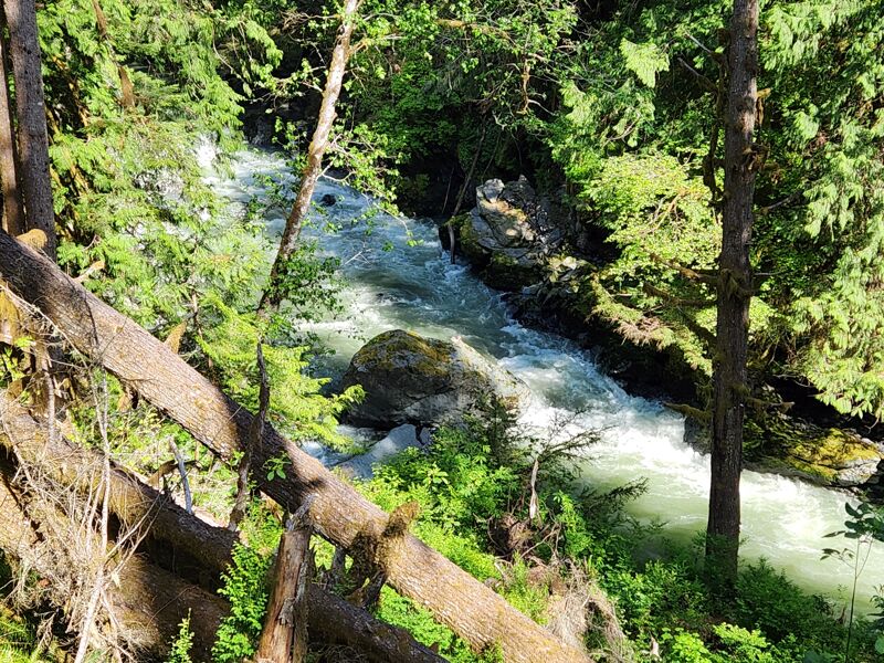
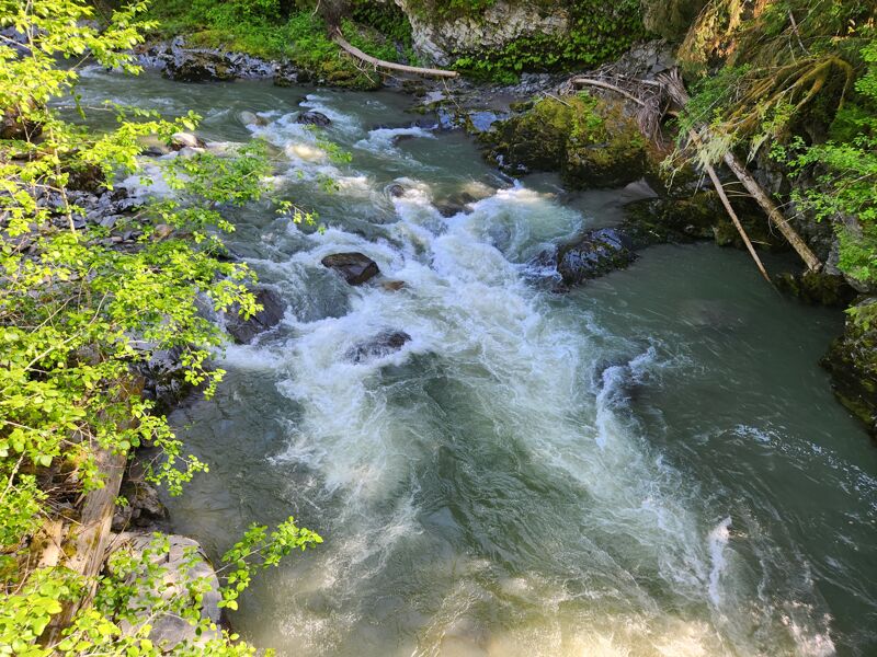
Above the put in there is a short micro gorge. The rapids here are kind of fun. They are not the 14 foot waterfall reported in the WA State Waterfalls page. Still if you are really motivated or paddling down the upper section you can run them.
May 25, 2025
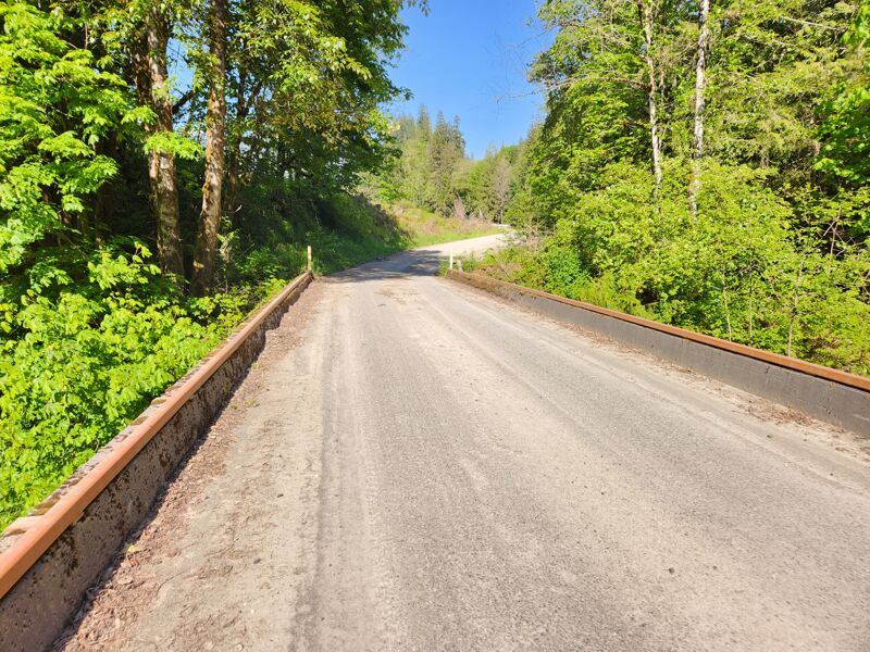
The Bridge
May 25, 2025
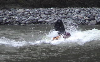
Rapid just above the access bridge