Pike
B) CTH.K to Barker Rd. ("Yellow Bridge") (3.4 miles)

| Difficulty | II-III |
| Length | 3.2 mi |
| Avg Gradient | 20 fpm |
| Gauge | Pike River at Amberg, Wi |
| Flow Rate as of 1 hour | 130 cfsbelow recommended |
| Reach Info Last Updated | November 20, 2023 |
Location: About 4 miles East of Amberg, WI.
Put-in: 45.49557 -87.90440 Unimproved roadside pull-off from CTH.K at the river
Take-out: 45.47092 -87.87218 Unimproved roadside pull-off from Pike River Road
Shuttle Length: 3.2 miles/5 minutes
Put-in is approximately 787' elevation.
Take-out is approximately 737' elevation.
Thus elevation change is approximately 50'.
Character: Medium-width channel, bedrock and cobble bottom, pool/drop, generally open routes.
River banks: Generally rocks and trees.
Typical width: 45'-75'
Video: Pike River (~200 CFS) (Note: Horseshoe Falls (two runs): 4:12-4:47,
General Overview
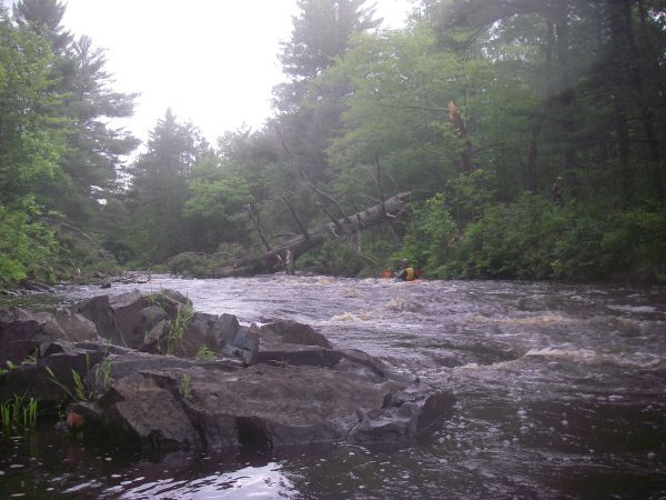
The Yellow Bridge Section of the Pike River (at normal/usual flows) is a fine beginners trip. You'll enjoy great 'up North' scenery cruising the flatwater, and the rapids will be enough to get your attention. More experienced paddlers will enjoy slightly higher flows, as the features build nicely to provide fine play and a rip-roaring finish.
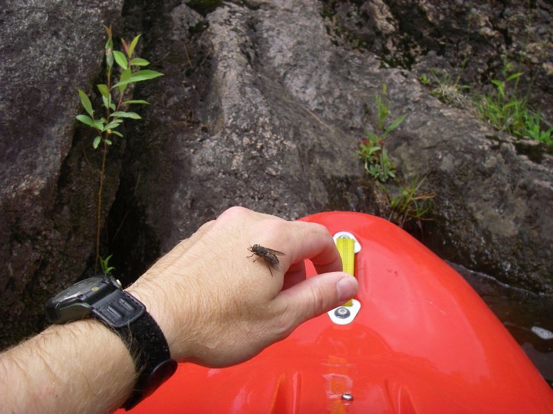
The biggest problem you are likely to encounter here will be the bugs in summer: horseflies, deerflies, and mosquitos will feast on you unless you apply plenty of repellent. On one trip, one of our paddlers had a head-net which fit over his helmet and covered down to the neck of his paddle jacket. He had a great many offers to purchase (at multiples of what it had cost him!), but he would not part with it. Smart man!
A small pocket wave/hole at the put-in allows surfing and beginners practice ferrying in good current (in the outflow) at low levels. At high levels, it becomes very playable. I've even heard stories (from 'the old days', when 11-12' boats were the norm) of people catching an ender and having the boat hit the bridge undercarriage!
An easy rock-dodge rapids leads to a pool where the river takes a 90 degree left bend through a narrowing in a rock walled gorge.
Surfing and enders are possible at higher levels.
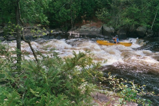
More minor rapids lead to the first commonly named drop, Scrounge Canyon, a narrowing of the river, as it passes through a dells with minor boulder garden.
Absolute beginners will probably just 'go with the flow' down the center from top to bottom.
More experienced boaters will 'work' the rapids, catching as many eddies as possible on both sides of the river.
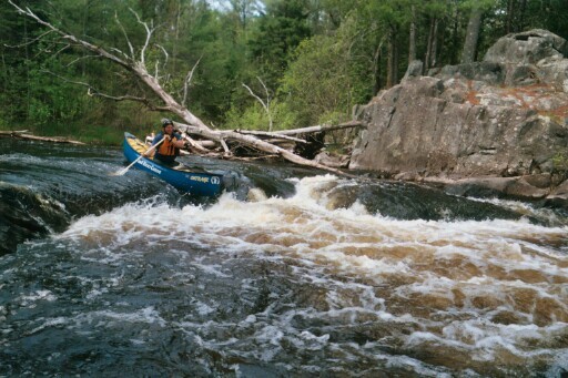
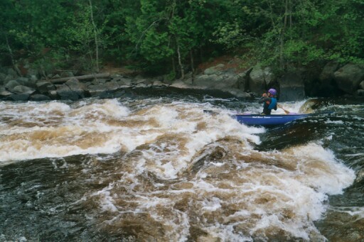
Numerous small rapids lead to Horseshoe Falls, where the river is diverted around an island.
The left channel is narrower, and often completely closed-off by wood.
The right (much larger) channel drops over a short (1-1.5') ledge, and stong current and 'funny water' immediately follow.
Beginners will likely want to carry up (river-right) for multiple attempts and lines down this drop.
Not far downstream is one of the best play spots, White Dog. Surfing and enders are great at moderate to high flows.
The river passes under Barker Road where there had been an old iron bridge, painted yellow. The bridge has been replaced, but it lives on in the name of this rapid.
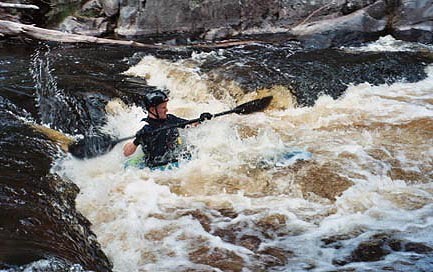
The drop begins with a twist to the right across a short, irregular sloping ledge, to an intermediate pool. From the pool, the river twists to the left as it drops over another ledge, then down the longest boulder garden rapids on the run before the take-out on the left bank. At high water, this is a real rip-snorting rapids which most beginner/novice boaters will take out above. For those who do run the drop, takeout is just around a right hand curve just as the action subsides.
Note: Please be considerate of posted private property around this drop. The home-owner (at river right) has generally been quite willing to grant permission to groups who ask before scouting, while reportedly getting varyingly irate at those who trespass without first getting consent.
As the final rapids abate, the river comes close to Pike River Road for your take-out.
May 27, 2003
1st of 2 drops