Totogatic
Totogatic Flowage to Colton Flowage (8.9 miles)
| Difficulty | II-III |
| Length | 9.4 mi |
| Avg Gradient | 16 fpm |
| Reach Info Last Updated | December 28, 2021 |
An oft overlooked early season/high water run with a fair amount of light boulderbed rapids interspersed with two larger drops.
We thank Jake for providing the following (slightly edited) info via the comments section:
Paddled from Duck Dam (the listed put-in here), all 60 miles to the Namekagon. High Falls is the first of 3 larger named rapids.
The 2nd largest is Buck Falls, a sloping slide with a piton rock in the pool, very runnable but avoid the rock by riding the slide from left to slightly right.
The last named one is called Small Falls and is smaller than the other 2, but larger than the rest of the rapids you'll encounter.
After Colton Falls the entire river slows down and there are 2.5 million trees to portage over the next 30 miles ... don't do it!
After the Minong Flowage dam there are 19 miles of lazy river with great northwoods scenery and no portages all the way to the Namekagon.

People cannot agree on either the spelling or the pronunciation for this river! (This often happens with anglicized versions of Native American words.) As pointed out on the WIDNR website:
The name 'Totogatic' comes from the Ojibwa word 'Totogan' meaning 'place of floating bogs' or 'boggy river' (according to Romance of Wisconsin Place Names, Heartland Press, 1988). Plat books, maps and tour books show a couple of spellings for the river and its namesake flowages. 'Totagatic' and 'Totogatic' are used interchangeably in these reference materials (sometimes both are used on the same page!).
Pronunciation is varied between 'Tuh-TO-ga-tec,' 'To-TA-ga-tec,' 'To-to-GAT-ic,' 'To-BA-tec,' and just 'TO-ga-tec' according to long-time local residents. Each of these spellings and pronunciations seems to have a strongly-defended local following, and devotees of one will consider use of the others as incorrect.
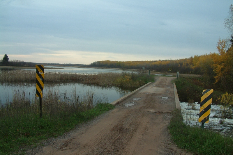
Drainge at the put-in is 64 square miles (according to USGS StreamStats program).
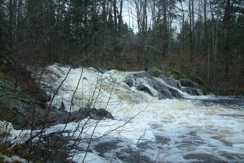
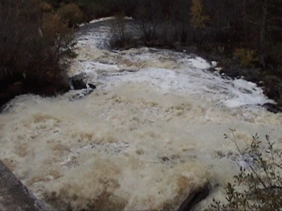
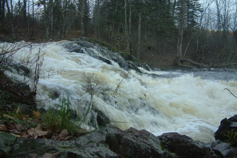
As you will see from the photo, this is a steep-sliding falls with perhaps 15-20' total drop.
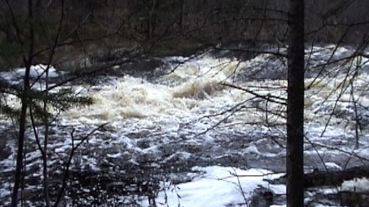
(Note: we have not verified and thus do not represent that the photo featured here is actually this rapids/location.)
(Mostly just a 'way point'.) At mile 4.3 you encounter a fair-sized island the river (as the river turns sharply left), after which there is a longer, smooth right-hand curve. This leads you to what may seem almost a lake. Cole Creek has entered from river-right.
A fair-sized island splits the river. Expect log-jams (or beaver dams?) to accumulate one side or the other (or both).
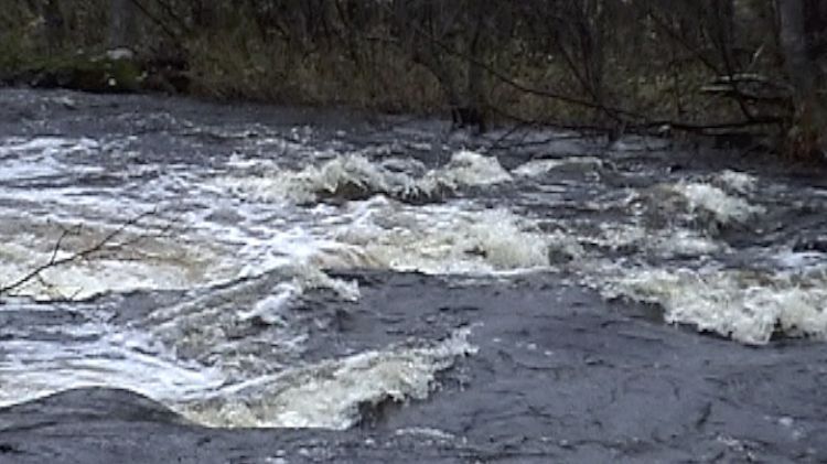
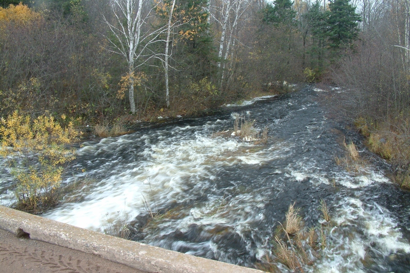
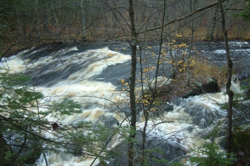
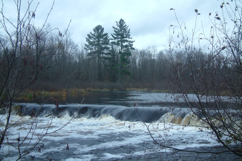
The fact that only two rapids are marked (on topo maps) should in no way be taken to mean there are no other rapids. A smattering of smaller rapids do exist, as the photo shows. (NOTE: while we have placed this photo at mile 5.5, we have no specific awareness whether that is its true location. There does appear to be a rapids at that location, which could be this or a ledge or a beaver dam or ...?)
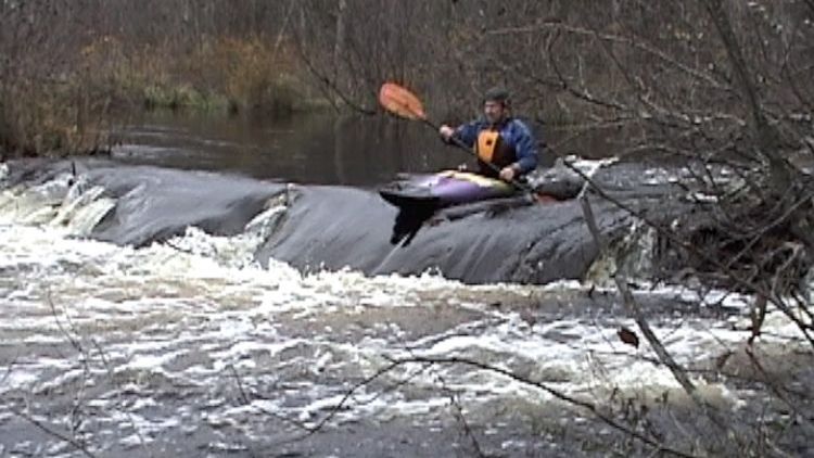
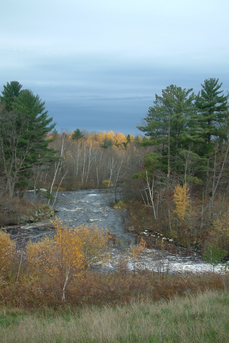
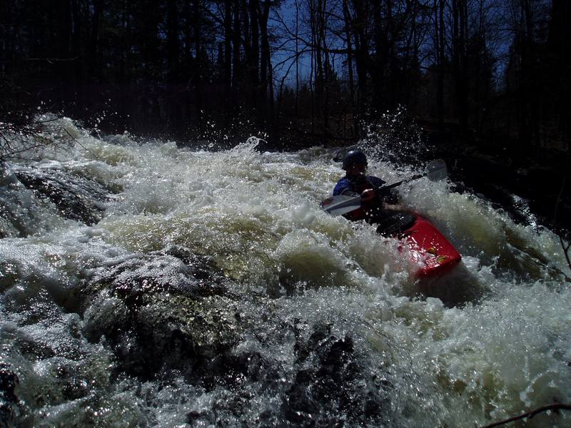
Again, unknown where on the run the photo actually is from, but there does appear to be some sort of rapids at this location, and it gives us a chance to feature another photo.
An island splits the flow. There may be minor rapids to one side or the other, but the bigger issue may be to be on the alert in the event of deadfall and strainers piling up, blocking passage to one side or the other.
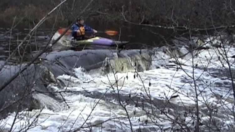
Expect to encounter at least a few beaver dams on this river. As shown by this photo, it is entirely likely that you will be able to run some of them (whether at this location or elsewhere on the run).
A rather quick right-left zig-zag at this location also appears to have some bedrock visible (from aerial/satellite views). We are unaware whether this actually forms significant waves or rapids.
At mile 8.0, there may be one final bit of gradient/rapids before you encounter the backwaters of the next flowage, upon which you paddle the final leg of your trip before the listed take-out.
Nov 21, 2020
Paddled from Duck Dam, the listed put-in here, all the way 60 miles to the Namekagon. High Falls is the first of 3 larger named rapids, the 2nd largest is Buck Falls, a sloping slide with a piton rock in the pool, very runnable but avoid the rock by riding the slide from left to slightly right. The last named one is called Small Falls and is smaller than the other 2, but larger than the rest of the rapids you'll encounter. After Colton Falls the entire river slows down and there are 2.5 million trees to portage over the next 30 miles, don't do it. After the Minong Flowage dam there are 19 miles of lazy river with great northwoods scenery and no portages all the way to the Namekagon.