Totogatic
Totogatic Flowage to Colton Flowage (8.9 miles)
Nov 21, 2020
Paddled from Duck Dam, the listed put-in here, all the way 60 miles to the Namekagon. High Falls is the first of 3 larger named rapids, the 2nd largest is Buck Falls, a sloping slide with a piton rock in the pool, very runnable but avoid the rock by riding the slide from left to slightly right. The last named one is called Small Falls and is smaller than the other 2, but larger than the rest of the rapids you'll encounter. After Colton Falls the entire river slows down and there are 2.5 million trees to portage over the next 30 miles, don't do it. After the Minong Flowage dam there are 19 miles of lazy river with great northwoods scenery and no portages all the way to the Namekagon.
Apr 9, 2011
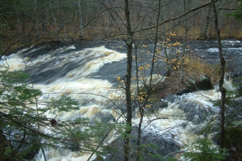
This is the view from the top, looking down. Photo by Jim Blake.
Apr 9, 2011
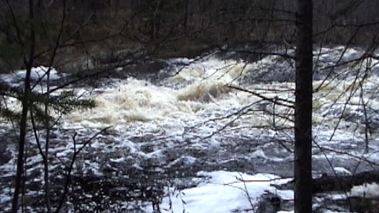
This photo shows the water level below the dam, the day we ran it...there was plenty of water for a nice run, but more water would have been nice...our run was a bit on the lower end, and all our photos were from this same day.
Apr 9, 2011
This is the Duck Dam...the closest access road in comes from the east, but the road and culvert sometimes gets washed out by heavy rain. If that's the case, you can still take the much longer small fire road from the southwest, to access the run...providing it's not flooded.
Apr 9, 2011
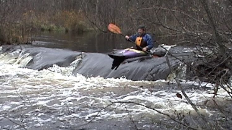
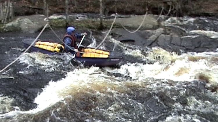
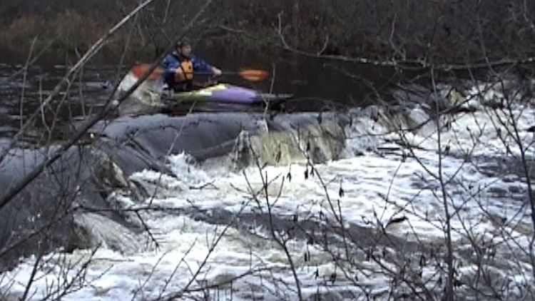
Jim runs a small ledge
Apr 9, 2011
Photo by Jim Blake
Apr 9, 2011
Photo by Dave J.
Apr 9, 2011
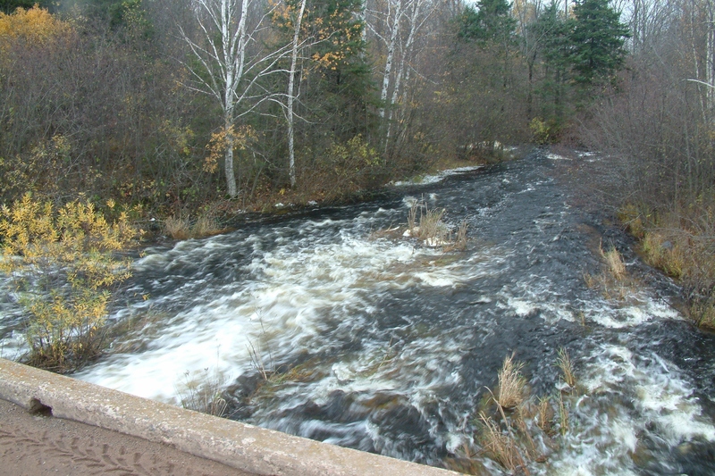
This is also known as Small Falls.
Apr 9, 2011
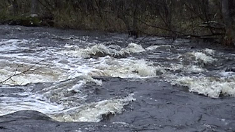
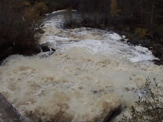
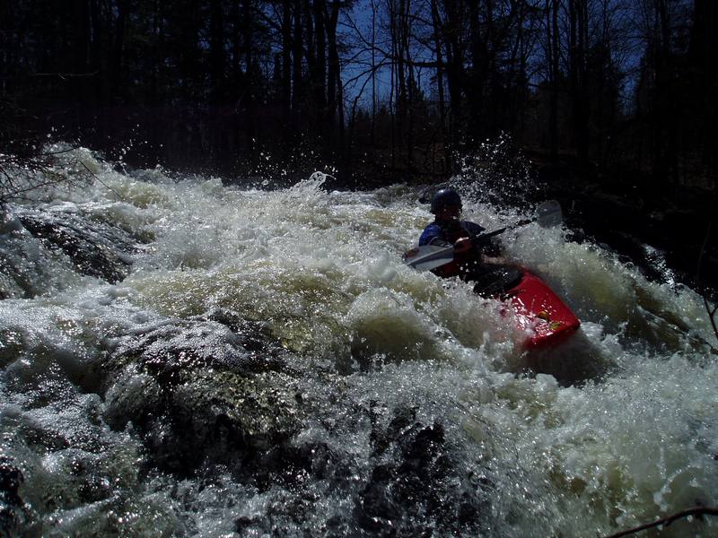
A Typical Rapids
Apr 9, 2011
Jim runs a small beaver dam
Apr 9, 2011
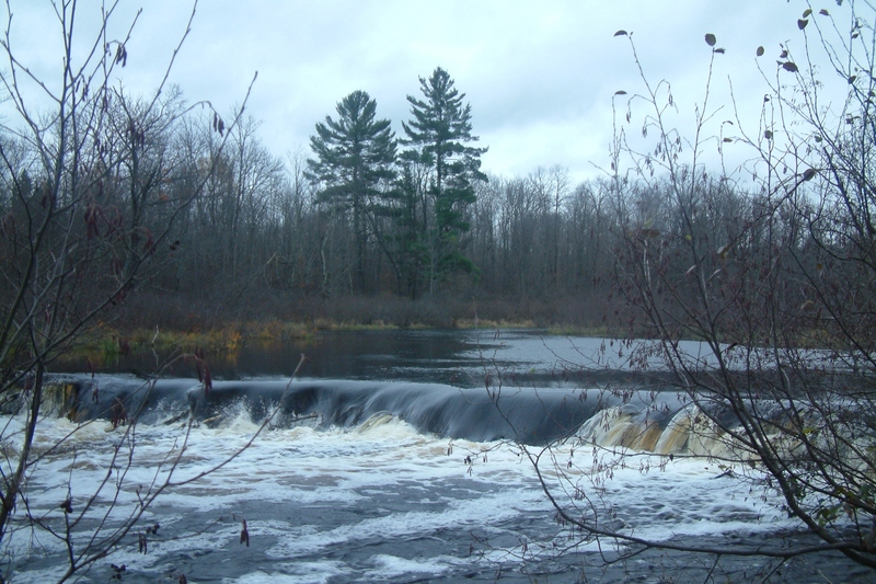
This is the beautiful downstream view from the dike, at the Colton Flowage take out. Photo by Jim Blake.
Apr 9, 2011
This is one of many beaver dams you will find. Photo by Jim Blake.
Apr 9, 2011
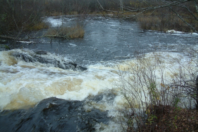
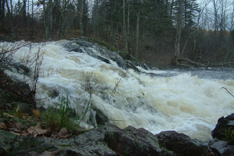
This is the first falls you come to...the portage trail is on the right.
Photo by Jim Blake.
Apr 9, 2011
Another view of High Falls. Photo by Jim Blake.
Apr 9, 2011
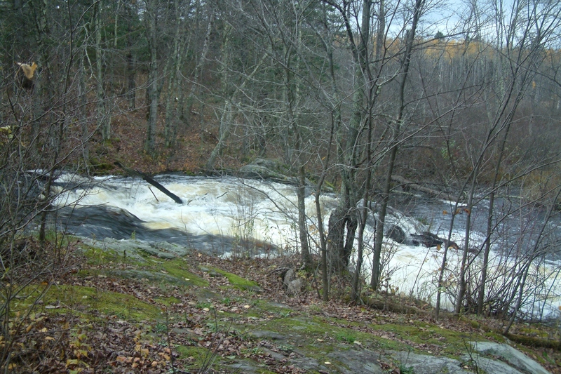
A distant view of the High Falls. Photo by Jim Blake.
Apr 9, 2011
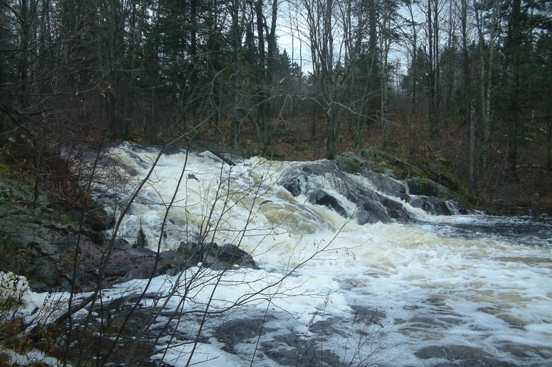
This falls is right below the dam, at the Colton Flowage take out.
I'm guessing Class 4-5, and drops about 50'.
Apr 9, 2011
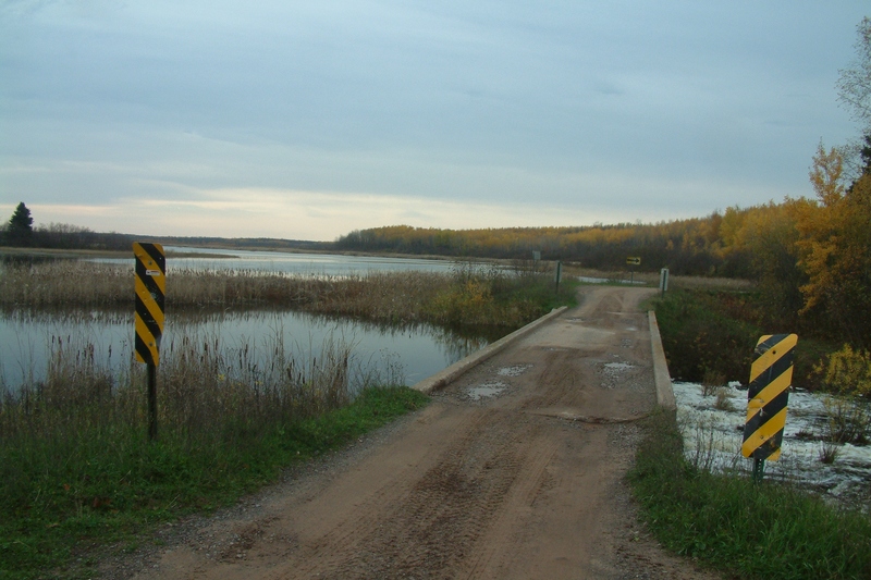
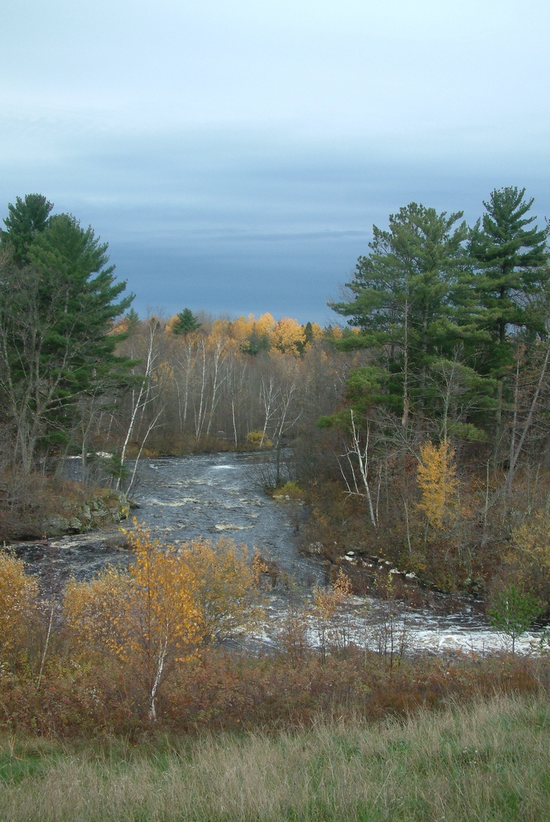
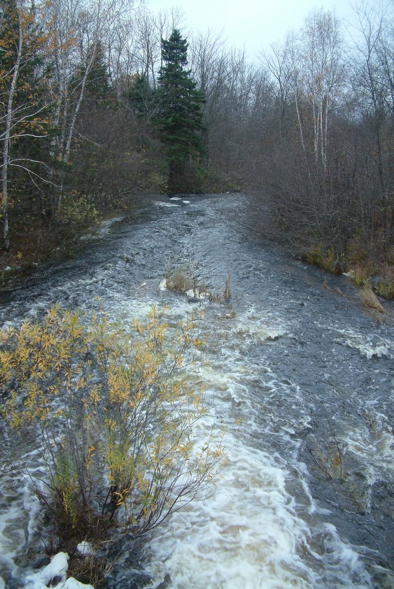
This is the downstream view from the put-in bridge/Duck Dam.