Cain Creek
Barker Camp Rd. to Bowater Parking lot
| Difficulty | IV-V |
| Length | 13.2 mi |
| Avg Gradient | n/a |
| Gauge | North Chickamauga Creek Near Montlake, Tn |
| Flow Rate as of 5415 days | 12 cfsstale data |
| Reach Info Last Updated | April 12, 2024 |
If it is running no doubt someone will be there. A new gauge is located just upstream of the bottom parking lot brought to you by the master T. Robinson. I forgot the suggested levels, but I think 2 ft+ is good.
The put in is a trail on the right off of Barker Camp Road. You will hike this trial for about a half mile before reaching the small stream below. When you get on the creek, remember to look at the gauge at the first bend to the right. There you will see it nailed to a hemlock. Six inches is about the minimum.
The rapids start with several class III ledges and slides. 'Mandatory Portage' is the first significant rapid on the creek. Yet, despite its name, it is run quite frequently. The drop is a boulder choke about five feet tall and on river right. Scout atop of boulder on river left. Take note of the undercut immediately following to drop on river right.
A fun s-turn slide follows this rapid to the confluence with Mossy Creek. Mossy Creek doubles the flow. When the creek takes a large turn to the right be prepared to make some tight moves at the next rapid left of the island (scout it) or a portage (on river right).
After following a few drops on river left, one has to catch the right eddy before going into the sieve. From this pool, you can scrape your way on down to 'Big Splat'. 'Big Splat' is a ten-foot river-wide drop. The best line is just left of the rooster tail with a slight right hand angle. The landing is extremely shallow, but whatever you do, try not to pencil in with no momentum. It will hurt.
Next is the mighty class V 'Vortex'. Run left and slide down the sandstone 'finger' with a hard right angle. Punch a few holes and you have done it! Portage with help on river right. Vertical lines open up on river right with high water, but are not suggested for the slabs of sandstone that tend to grab boats.
Continue through the mini-gorge that ends with a four foot creek-wide ledge which can become sticky at high
...Jan 6, 2023
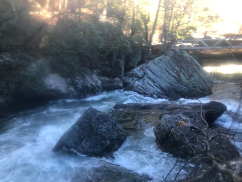
A large, uprooted tree is at bottom of “drainpipe” (final rapid of Cain Creek’s steepest gorge, at upstream apex of the local section of Cumberland Trail).
At range of flows, no clear visibility of this log hazard from upstream eddies. See photos.
Please note that this is far from the only worrying wood in this great watershed – always make sure to scout, one way or another!
Dec 11, 2009
As of 12/10/09, the usgs gauge for the North Chick used on this site is not accurate. Ran Cain on 12/11/09 at 2.6 ft on North Chick, while the online gauge read 1.8 cfs.
Mar 27, 2009
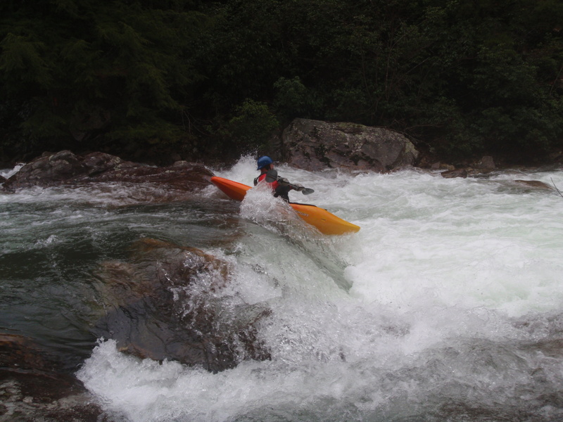
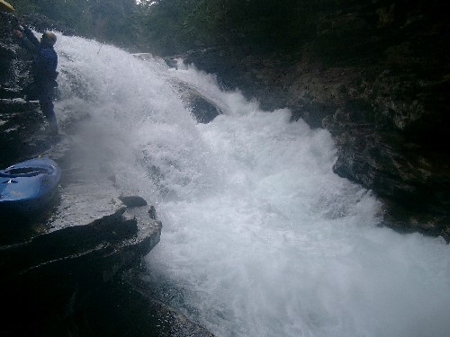
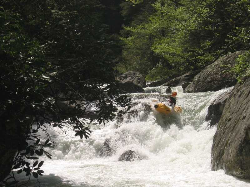
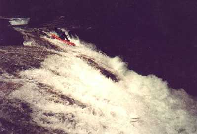
A rapid on Cain Creek after Rockhouse
A rapid on Cain Creek after Rockhouse
A rapid on Cain Creek below Rockhouse