Cain Creek
Barker Camp Rd. to Bowater Parking lot
Jan 6, 2023
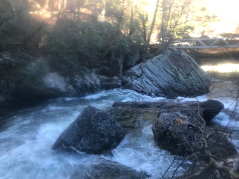
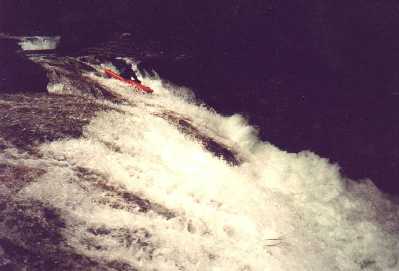
A large, uprooted tree is at bottom of “drainpipe” (final rapid of Cain Creek’s steepest gorge, at upstream apex of the local section of Cumberland Trail).
At range of flows, no clear visibility of this log hazard from upstream eddies. See photos.
Please note that this is far from the only worrying wood in this great watershed – always make sure to scout, one way or another!
Dec 11, 2009
As of 12/10/09, the usgs gauge for the North Chick used on this site is not accurate. Ran Cain on 12/11/09 at 2.6 ft on North Chick, while the online gauge read 1.8 cfs.
Mar 27, 2009
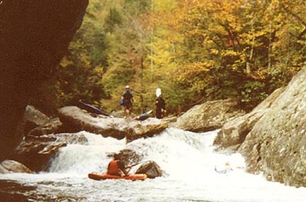
A rapid on Cain Creek after Rockhouse
A rapid on Cain Creek after Rockhouse
A rapid on Cain Creek below Rockhouse
Jul 2, 2004
I dont see any directions on this page, so here goes -- from the Bowater takeout, go up the mountain and turn left on Poe Road. Go down Poe, around a righthand turn with a guardrail, and take the next left onto Grant Road. Grant will then turn into Barker Camp, a dirt road on your right. You'll see a pulloff area and most likely other cars there. Hike right down into Cain.
Feb 21, 2004
From Mark Cumnock:
Cain Creek is on Milt Aiken
Feb 1, 2003
From the Cain/Chick confluence its 6.9 miles to the Bowater parking area, at an average gradient of 110 feet per mile.
From Cain Creek Road to the Cain/Chick confluence is 2.4 miles.@ 102 feet per mile.
Jan 15, 2003
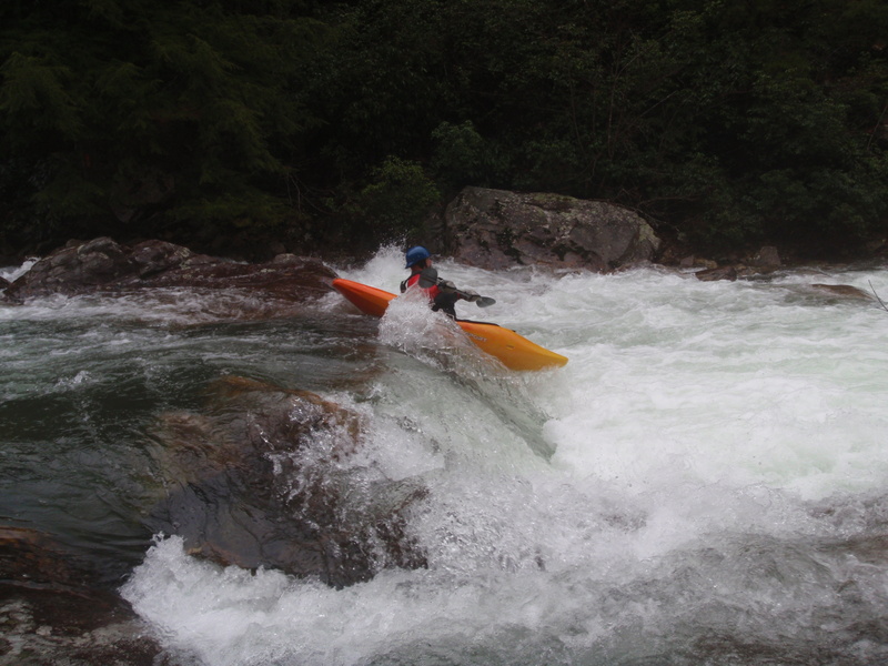
Shot of Vortex from boat's-eye'view after a run.
Ran slightly left of center, over the
rooster tail, with a good boof.
Dec 20, 2001
From Tony Robinson on Boatertalk
' New stick gauges were recently installed on Cooper and Cain creeks. Last Sat. when Cain read 6' on the traditional gauge, the new gauge read 1.5'. This gauge is located on a bridge over Cain 2 miles upstream. It is located 1/2 mile down a newly graveled road on the right .9 miles past the Cooper creek bridge. There is a yellow sign advertizing land for sale. If you pull down to the right, you don't even have to get out of the truck. Six inches is a minimum level on Cain, so if you are concerned Cain is too low, check the upper gauge first. Another use would be to know if Cain was too high before you hike all the way down to the river and paddle down to the gauge and have to hike back out, but there is no info on how a max level would coorelate.
The new Cooper gauge is located at the Barker-Camp Road bridge. Cooper was run last Fri. at 2.3' on this gauge, a reportedly beefy level(N. Chick was 3.6'). I'm guessing 1.9 would be a good minimum level. Speaking from experience, the best way to run Cooper is to not put in on Cooper, but rather to run Cain/Chick down to it at a big level then hike up the last 1/4 mile of Cooper. Since all the good rapids are located in it's last 1/4 mile before emptying into N.Chick, you get to do all of them plus Cain/Chick at a great level. The Cooper trail starts at a large dead pine tree on river left 30 yards upstream of it's confluence with N. Chick. The trail is on Cooper's right side and takes you to the top of upper Cooper Connection. It's a rough trail, but clear.
Gauges were also installed on Big Soddy, Falling Water, and Woodcock creeks. The Big Soddy gauge is located on the Back Valley rd. bridge at the takeout. The Falling Water gauge is on the first bridge upstream of old Hwy 27. The Woodcock gauge is on the first road bridge upstream of Hwy. 127. There is no info yet on how these gauges coorelate to levels.'
Jan 1, 1900
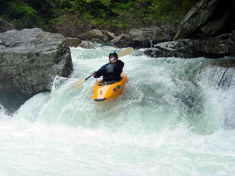
Eric shows the line on vortex. Watch your elbows! Way in the background is 'Big Splat' or sometimes called 'Cain Creek Falls'
Jan 1, 1900
what is there to say
Jan 1, 1900
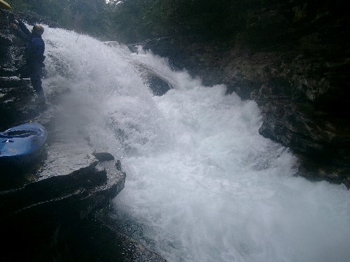
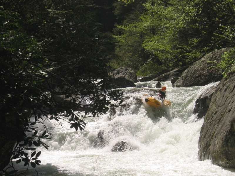
Drainpipe at fairly high water
Mandatory portage at fairly high water
Call it what you will, it's a fun drop if you keep your nose up.
Jan 1, 1900
Drain Pipe starts out twisting S turns and tight. The crux is the bottom drop where you boof off the river right side but aim back left to avoid some rocks in front of the safety boater (Jon Lord). Don't lean left or your face may find the wall. Hard not to hit your paddle on the left wall but easy recovery pool whatever happens. Canoes seem to always flip here.