Gauley
6. Curtin Bridge to confluence with Persinger Creek(Crupperneck Section)
| Difficulty | II-III(IV) |
| Length | 12 mi |
| Avg Gradient | 20 fpm |
| Gauge | Gauley River Near Craigsville, Wv |
| Flow Rate as of 1 hour | 11.02 ftlow runnable |
| Reach Info Last Updated | May 1, 2025 |
Rapids were rated when the Craigsville gauge was between 11.5'(900 cfs) and 12.0'(1460cfs). These were based on the old feet/cfs conversion tables before the new bridge was put in at the confluence of the Cherry and Gauley. The current conversions are approximately: 10.5' (360 cfs), 11.0'(759 cfs), 12.0'(2135 cfs), 13.0'(4135 cfs), 14.0'(6580 cfs).
Alternative takeouts:
1. Panther Creek - 4.6 miles on river left, class II TO III-, 20'/mile gradient.
Panther Creek comes in on river left and may be reached from Curtin Bridge via WV 20&55 to Fenwick, then onto WV 39&20 to Panther Creek Road CR 39/15 which leads directly to the river at the former Marybill Mine site. The road that follows the river left side downstream of the Curtin Bridge is much shorter but does not save much (if any) shuttle time and is a private road.
2. One rapid beyond Ships Prow Rapid (IV-) - 6.6 miles river right, This additional mileage contains the steepest mile at 40'/mile gradient and contains several boulder congested rapids of Class III or greater difficulty.
Take out # 2 is on river right and may be reached from the Curtin Bridge (WV20&55) via the Crupperneck Road (CR 14), which deadends at a left turn onto CR 14/1) which leads to a fairly large flat area about 100 feet above river level. There is a road leading downstream of this flat area. Depending on whether this road is gated or blocked you may have a slight uphill carry for 1/2 mile back to the end of the public road at this large flat area. Note* Since the spring of 2000 these private roads have been gated or blocked. Since the winter of 2001/02 CR 14/1 has been impassable for the last 1/2 mile above the large flat area.
3. Mouth of Big Beaver Creek - 8.4 miles on river right. Although there is a marginal road down to the river immediately past Big Beaver Creek boaters should expect a one mile hike up to Nile Road - CR 8
4. Mouth of Persinger Creek - 12.4 miles on river right
...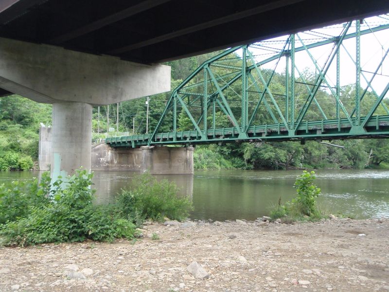
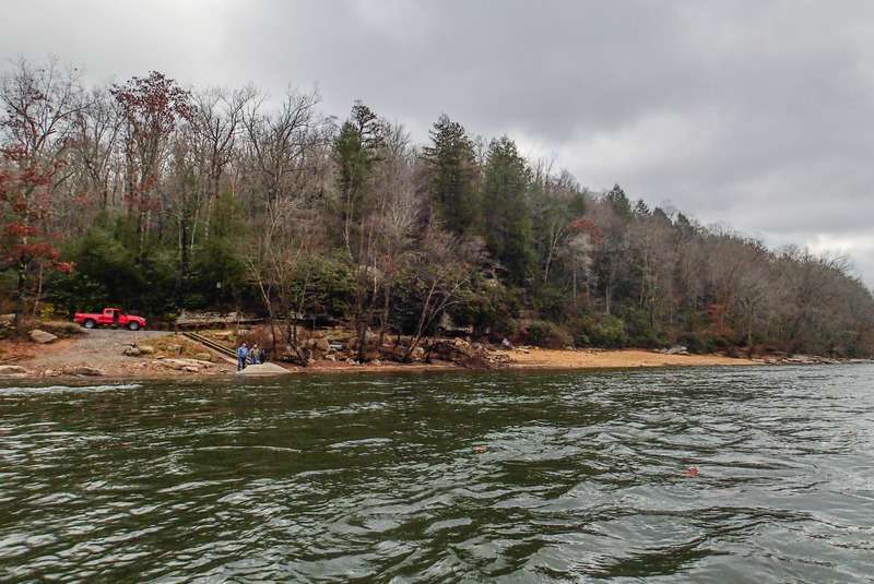
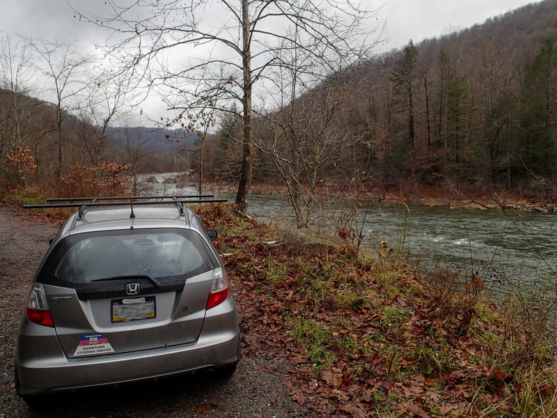
The Curtin bridge put-in is on river left at the Cherry confluence. Coming from Richwood, turn left on the gravel road just before the bridge. The Craigsville gauge is on river right, next to the old green bridge. Vehicles can park at the switchback in the gravel road (taking care not to block access or the private gate) or up next to the highway. Curtin bridge is also the takeout for the section of the Gauley upstream, the Cherry, and the lower Cranberry.
River left, limited parking. Steep, rocky bank. Easier to hand boats up or use a rope to pull them up.
Jul 30, 2025
I ran from Curtin to the alleged takeout at the end of 14/1. As of July 2025, the road dead ends at a gas pipeline crossing the river. I parked near this pipeline but to get to my car from the river was an extremely steep and long through an impenetrable thicket. I chose this because I was running a bike shuttle and take outs downstream weren't good for biking. However I would never repeat this choice. The run itself was great even at a low flow of 11.02 Ft.
Nov 12, 2014
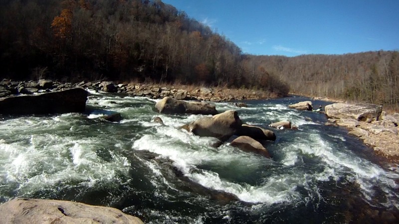
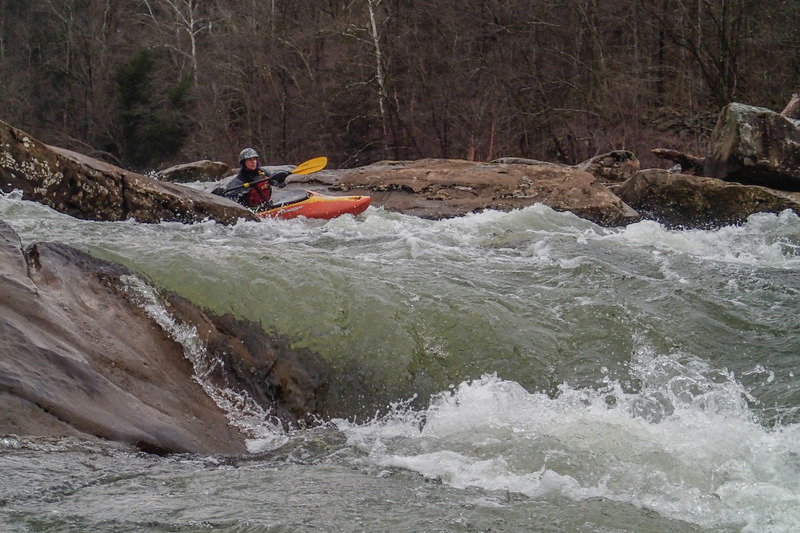
Upper half of the rapid
Nov 23, 2013
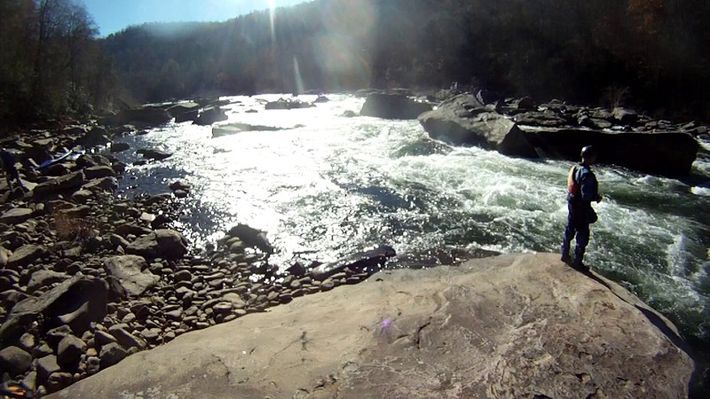
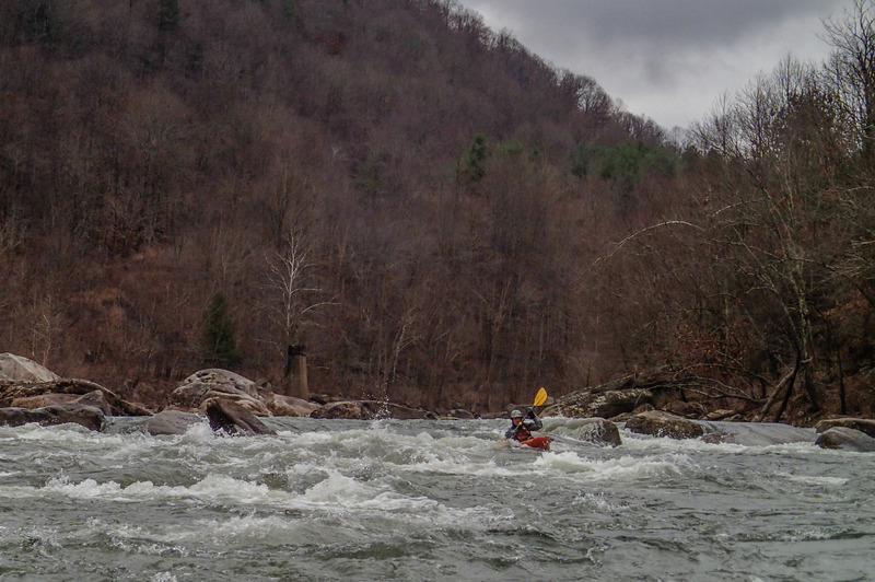
Just to show a little character of the river at 2000cfs. This is the 'largest' rapid between Panther and Persinger.
Geo-tagged photos from this day are here:
https://picasaweb.google.com/103820628544095207551/20131123LostGauleyPantherCreekToSummersvilleDam02
May 26, 2008
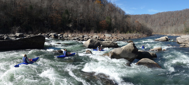
Three of us ran this from the Curtin bridge to what is described as takeout number 2. The level was 11.7 ft. At this level, this is a great section of intermediate water. Gradually increases from easy class II to a few class III rapids and ends with a challenging class IV that should be bank scouted. There is an old brick bridge support in river center which indicates that the action is increasing. After the bridge support there is about a short section of class III before the class IV. It will be obvious because there is no clear route obvious from the boat. The move is basically from river left, ferry behind the first large rock in river center to river right. After the ferry, there was a line down river right. All of the rapids with the exception of the last one were easily boat scoutable and offered plenty of opportunity to practice river running skills. We accidentally ran into the land owner for the takeout. He is very kayaker friendly and is willing to work out both river access and primitive camping arrangements. We tipped him $10 to give us access. He asked me to pass along his contact information. Call Floyd Dillon for river access 304-742-6237