Gauley
6. Curtin Bridge to confluence with Persinger Creek(Crupperneck Section)
Jul 30, 2025
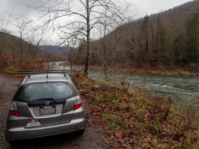
I ran from Curtin to the alleged takeout at the end of 14/1. As of July 2025, the road dead ends at a gas pipeline crossing the river. I parked near this pipeline but to get to my car from the river was an extremely steep and long through an impenetrable thicket. I chose this because I was running a bike shuttle and take outs downstream weren't good for biking. However I would never repeat this choice. The run itself was great even at a low flow of 11.02 Ft.
Nov 23, 2013
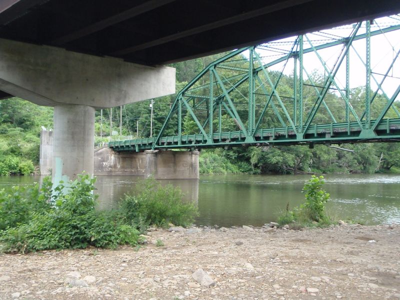
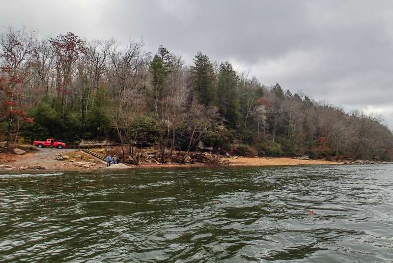
We did not take out here, but it looks like you can drive close to the river.
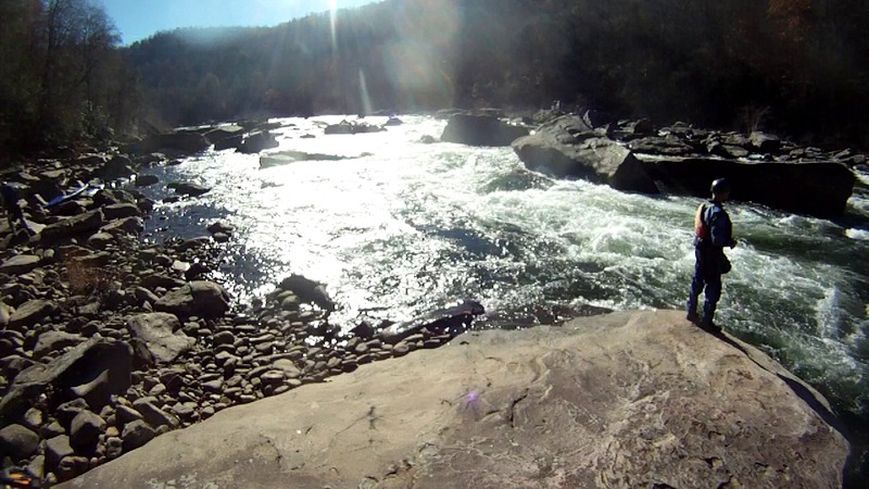
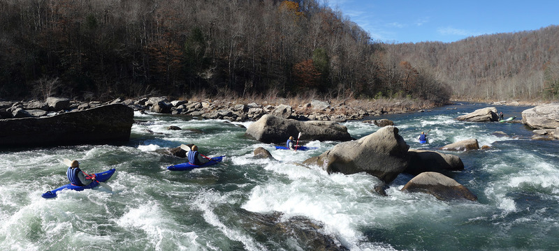
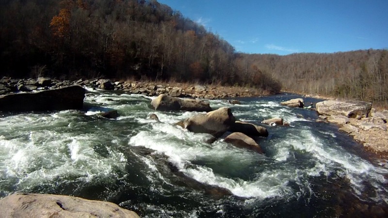
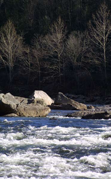
We continued to Summersville Dam to explore the 'Lost Gauley' river bed. The lake was drained to perform valve repairs. Two weeks of an extreme draw-down preceded our trip.
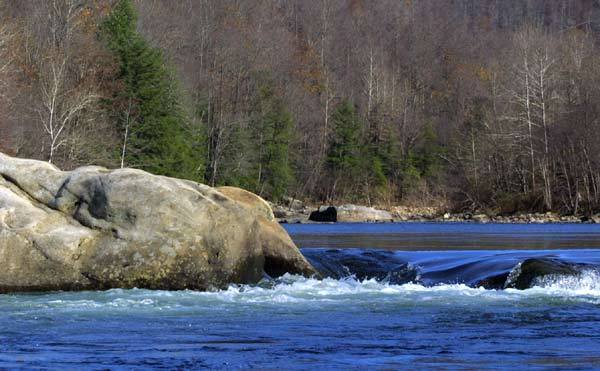
Nov 23, 2013
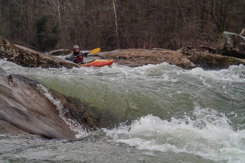
Just to show a little character of the river at 2000cfs. This is the 'largest' rapid between Panther and Persinger.
Geo-tagged photos from this day are here:
https://picasaweb.google.com/103820628544095207551/20131123LostGauleyPantherCreekToSummersvilleDam02
May 26, 2008
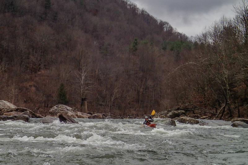
Three of us ran this from the Curtin bridge to what is described as takeout number 2. The level was 11.7 ft. At this level, this is a great section of intermediate water. Gradually increases from easy class II to a few class III rapids and ends with a challenging class IV that should be bank scouted. There is an old brick bridge support in river center which indicates that the action is increasing. After the bridge support there is about a short section of class III before the class IV. It will be obvious because there is no clear route obvious from the boat. The move is basically from river left, ferry behind the first large rock in river center to river right. After the ferry, there was a line down river right. All of the rapids with the exception of the last one were easily boat scoutable and offered plenty of opportunity to practice river running skills. We accidentally ran into the land owner for the takeout. He is very kayaker friendly and is willing to work out both river access and primitive camping arrangements. We tipped him $10 to give us access. He asked me to pass along his contact information. Call Floyd Dillon for river access 304-742-6237
Jan 25, 2005
Just a quick note...When Summersville Lake is at winter pool (usually between November and April) there is current all the way to the Rt. 39 bridge. The section below Big Beaver Creek contains small (class I-II) rapids and a mellow gradient. It makes for a nice long day and simple shuttle logistics.
Jun 28, 2002
Posted on 6/27/02 to the AW Massage Board:
I am unsure of how to get this on the AW site, but someone had asked for some info. The far takeout on Crupperneck Road is still there, but to access it via Crupperneck Road one must negotiate some 2' diagonal washouts and one that is deep enough to fit an S-10 in, call this a class V. As for making the shorter run of the top section of the Top Gauley. The road on river left, to my knowledge, is public, although some cabin and property owners along this road may not like it. This is proven by the large quantities of roofing nails strewn about the pull-off areas. We consider ourselves locals (WV Tags) and last time we ran it in early June 2002, my buddy ended up with 2 in one tire and 1 in another. So be on the lookout! The run is sweet, though, okay play down to 1000 cfs, but gets better as it goes up. At about 2000 cfs a honey of a wave hole thingy can be found on river left about 5 miles down. We consider this the optimal level, and I usually cannot get anyone off their lazy a@# to go if it is lower than that. A bonus is that I rarely see a person there. If you opt for the whole run, be wary that a rapid uncharacteristic of the run lies waiting to munch the unexpecting. Hope this helps.
Mike Vanderberg