Cascade
1 - bl. Mineral Park to Marble Creek Campground (Upper)
| Difficulty | II |
| Length | 10 mi |
| Avg Gradient | 25 fpm |
| Gauge | Cascade River at Marblemount, Wa |
| Flow Rate as of 1 hour | 588 cfsbelow recommended |
| Reach Info Last Updated | March 3, 2023 |
Beginning high in the North Cascades, the Skagit Wild and Scenic River winds down steep slopes, through forested hillsides and wide open valleys, eventually reaching Puget Sound. The rivers of this system – the Skagit, Sauk, Suiattle, and Cascade – flow through rugged wilderness, forestlands, rural communities, farmlands, and [...]Read More
People are often tempted to do this run because it is listed as class II and it has good flows in the summer. Do not make this mistake! The Upper Cascade is full of wood and the portages are horrendous. If you want to run this, ask around for a recent wood report first.
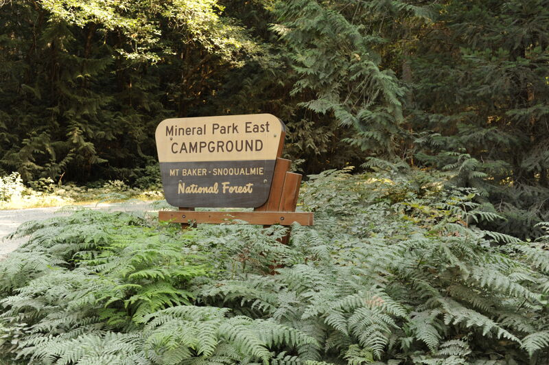
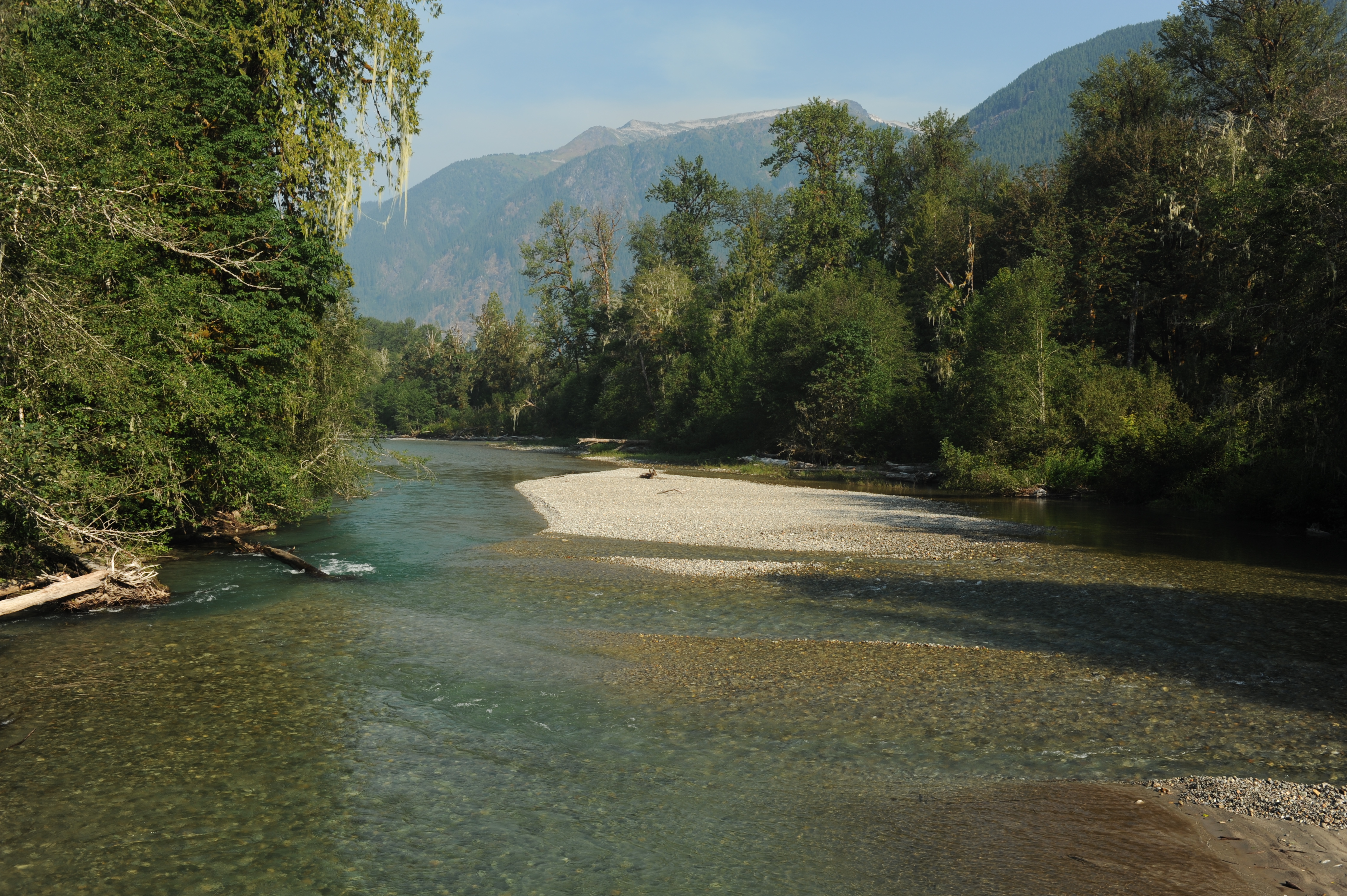
Mineral Park East Campground is where the North Fork and South Fork of the Cascade River join at Cascade River Road mile 15.7. River access is available between sites 6 and 8 where site 7 would be located. This site has been converted to day use and a trail leads about 50 yarsds along the North Fork of the Cascade River to the confluence. The river has a smaller channel at this point and is know for extensive log jams and associated wood hazards. Proceed with extreme caution if exploring this stretch.
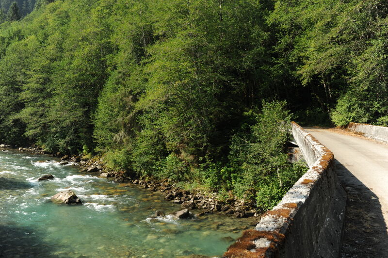
Intermediate access point. Scramble up or down the bank adjacent to the bridge. Located at Cascade River Road mile 14.1 where the turn off to Forest Road 1570 is lcoated. It's a 1.5 mile drive down Forest Road 1570 to the bridge and a high clearance vehicle is helpful.
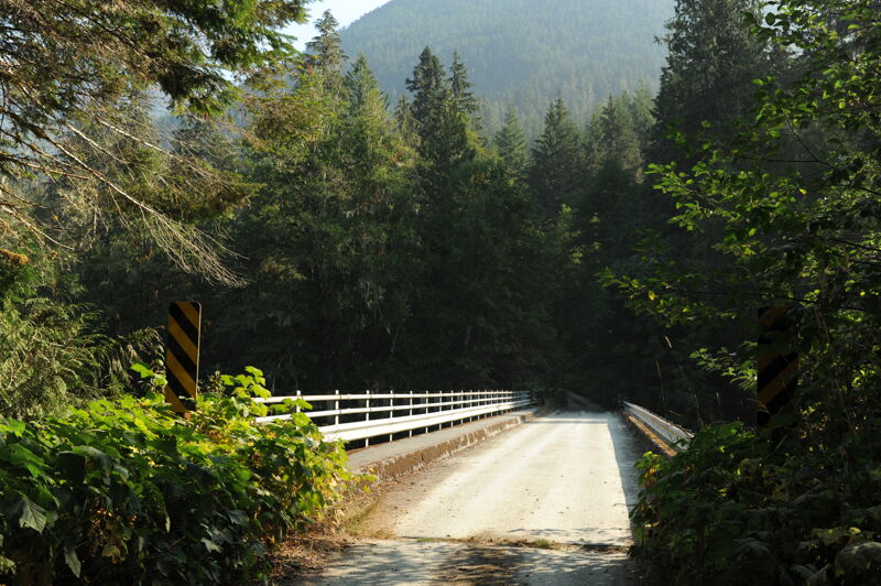
Intermediate access point. Located at Cascade River Road mile 10.2 where the turn off to Forest Road 1550 is lcoated. It's a 0.8 mile drive down Forest Road 1550 to the bridge on a road that is passable by passenger vehicle. Decent access is available on river left either upstream (short) or downstream (longer but more gradual) of the bridge.
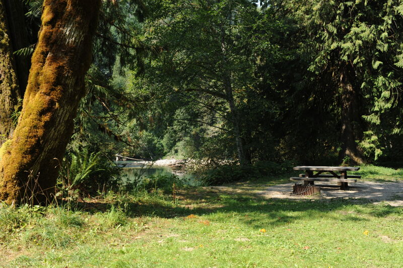
This access is located in the Marble Creek Campground. It's a 1/2 mile from Cascade River road down to the river access in the campground. The river access is in Site FF1 which has a short trail to the river and is immediately adjacent to a picnic area across from the toilet that has parking for a few cars. You may need a federal lands access pass. A campground host provides a management presence and in some years the host has questioned kayaking as an appropriate activity. Be polite and let American Whitewater know if you run into any issues. The Marble Creek Campground is recognized as an access point utiliized by whitewater boaters in the Skagit Wild and Scenic River Management Plan.
Sep 2, 2022
Checking out access sites and scouting the river as part of effort to nominate this river as an Outstanding Resource Water under the Clean Water Act.
Jul 30, 2009
There are two significant logjams on this run that require portaging. The forst and larger of them happens where the river appears to have changed course fairly recently (Google Earth shows a lefthand bend where there's now a an oxbow with the main channel heading right). The old channel looks like an easy portage route but after 200 yards is blocked by more huge logjams. There's lots of other incidental wood. I'm going to avoid this run.