Salt
Bridge at Stringer Lane river bottoms to Shepherdsville (11.5 miles)
| Difficulty | I |
| Length | 10.3 mi |
| Avg Gradient | 1 fpm |
| Gauge | Salt River at Shepherdsville, Ky |
| Flow Rate as of 33 minutes | 3.94 ftbelow recommended |
| Reach Info Last Updated | February 14, 2015 |
Class 1 float that will allow you to get some exercise while cruising.
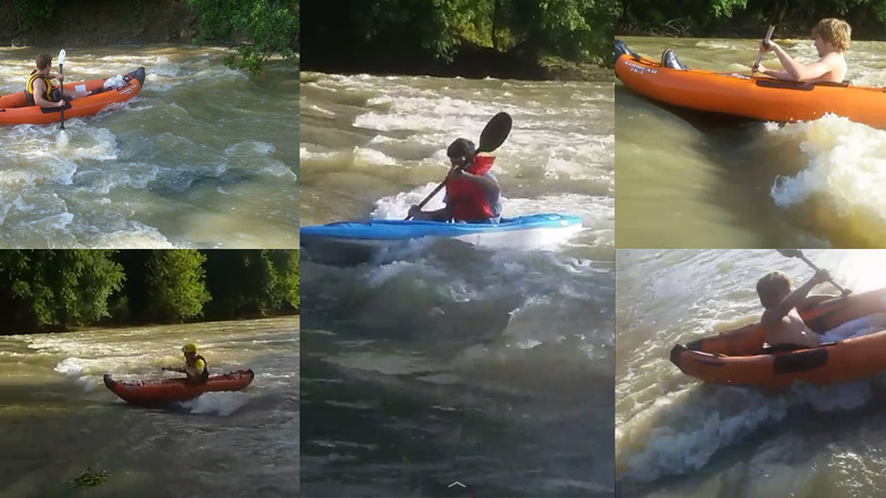
The best option for those really looking for whitewater is to just head to Frank E.Simon Park, where a minor ledge creates tame play opportunities.
Jun 23, 2017
The levels were 600 and 250 CFS. Both were great at the end of Frank E Simon Park where there is a big ledge and tons of other surf waves for a couple 1000 foot stretch. The only problem is that it's a total pain to get your kayaks out at that park(steep muddy banks).
Aug 28, 2010
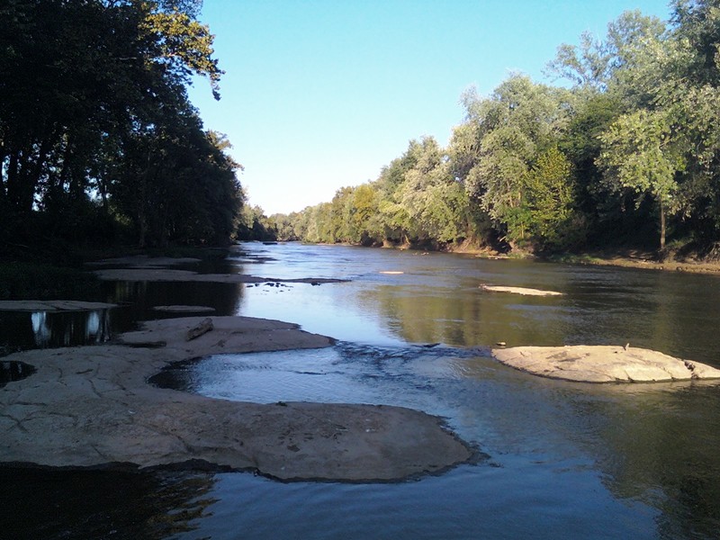
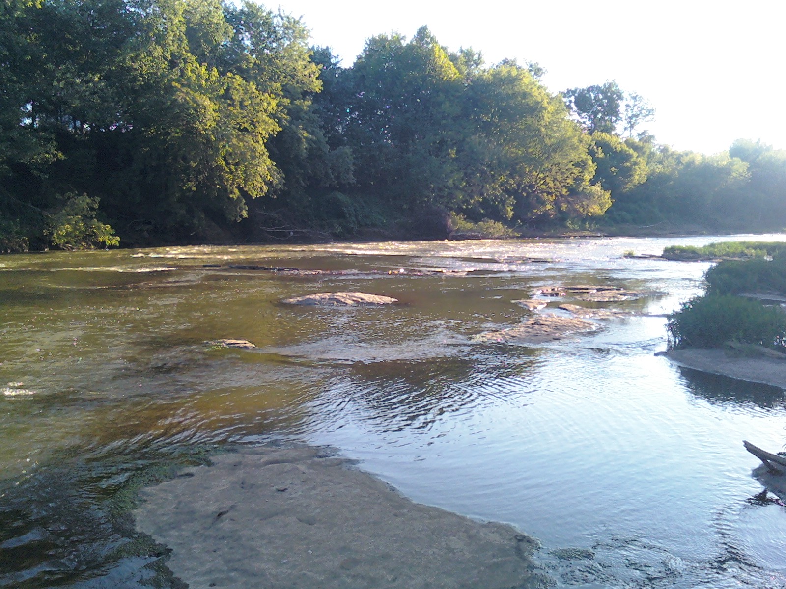
8/27/10, level at 1.10. Looking upstream from the city park in Shepherdsville. Runnable at this level but requires skillful maneuvering to avoid shallow rocks.
Aug 28, 2010
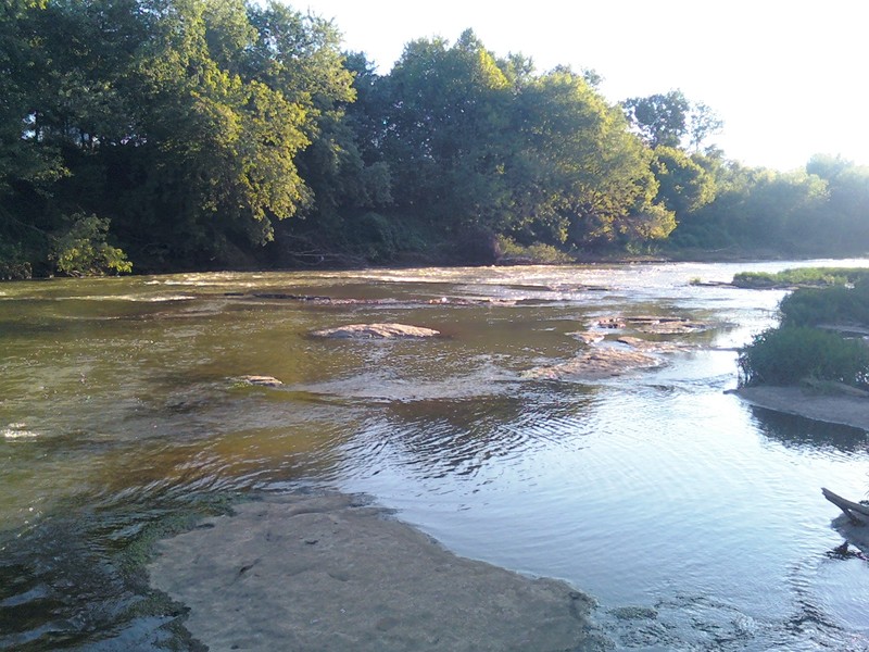
8/27/10, level at 1.10. A few riffles and very short ledges in the Shepherdsville area, great for fishing or summer tubing.