Salt
Bridge at Stringer Lane river bottoms to Shepherdsville (11.5 miles)

Jun 23, 2017
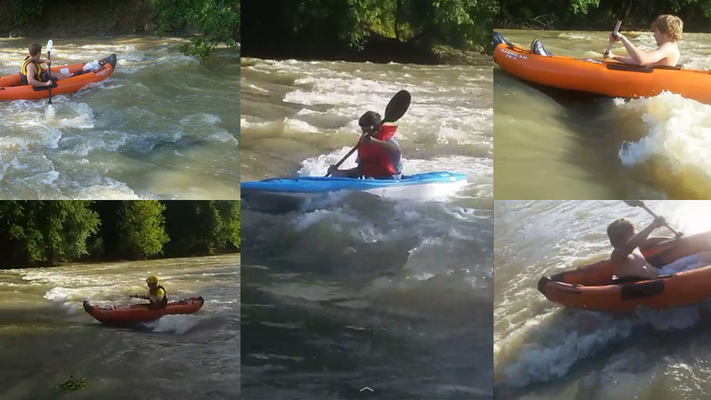
The levels were 600 and 250 CFS. Both were great at the end of Frank E Simon Park where there is a big ledge and tons of other surf waves for a couple 1000 foot stretch. The only problem is that it's a total pain to get your kayaks out at that park(steep muddy banks).
Apr 24, 2011
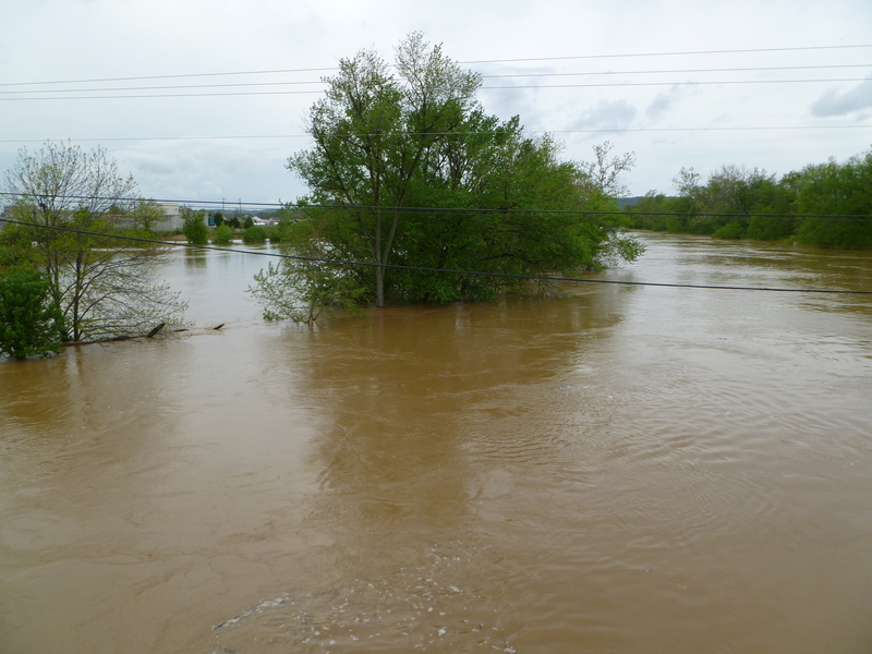
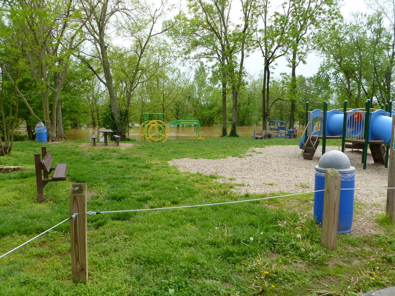
28' and rising on the Shepherdsville gauge
Apr 24, 2011
28' and rising, water almost up to the playground
Aug 28, 2010
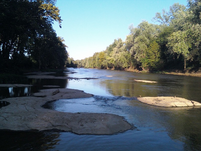
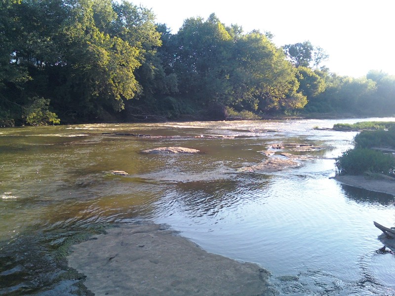
8/27/10, level at 1.10. Looking upstream from the city park in Shepherdsville. Runnable at this level but requires skillful maneuvering to avoid shallow rocks.
Aug 28, 2010
8/27/10, level at 1.10. A few riffles and very short ledges in the Shepherdsville area, great for fishing or summer tubing.
Aug 28, 2010
8/27/10, level at 1.10. A few riffles and very short ledges in the Shepherdsville area, great for fishing or summer tubing.
Aug 28, 2010
I can only speak for the Shepherdsville area, but would not recommend getting on below about 1.6 on the gauge as things get very shallow below that.