| Difficulty | I-II |
| Length | 4 mi |
| Avg Gradient | 20 fpm |
| Gauge | Animas River at Silverton, Co. |
| Flow Rate as of 52 minutes | 47 cfsbelow recommended |
| Reach Info Last Updated | August 15, 2025 |
River Description
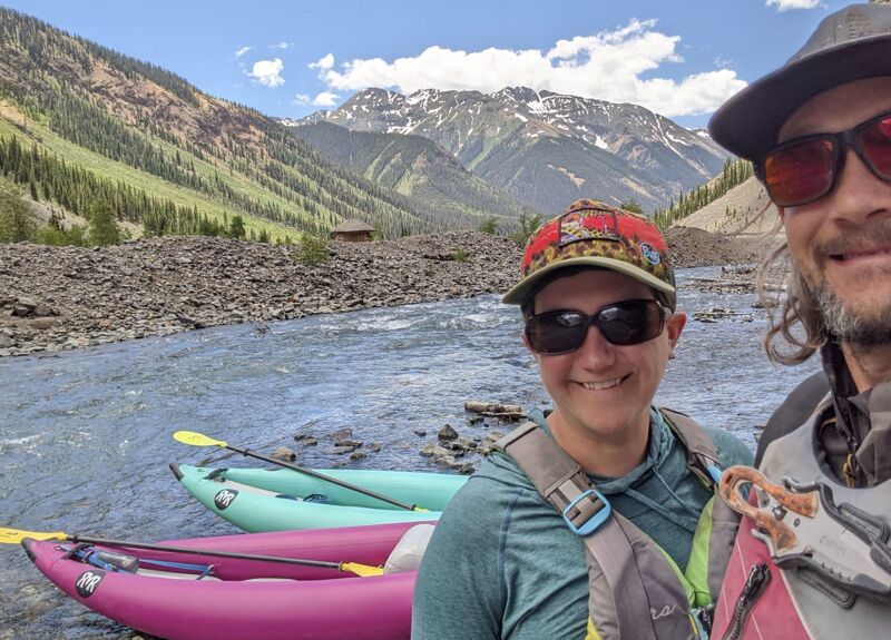
As the Animas River moves into Eureka it river passes into a wide alpine valley losing gradient.
This results in a beginer flat water float for 3.6 miles toward Howardsville.
Follow the braided river as it slowly moves its way toward Silverton.
Be heads up for wood and potential mining hazards. The streambed is shallow, and eddies are scarce.
Put-In and Take-Out Directions: From Silverton- take CR 2 northeast, for just under 4 miles, to Howardsville.
The bridge in Howardsville will be your best take out option, although others are available.
From Howardsville go on another 4.6 miles to the abandoned Eureka mine.
Park on the left near the river crossing, and put in close to the road.
note: Stafford/McCutchen pg. 244
River Features
Put In
Access PointDistance: 0 mi
Take Out
Access PointDistance: 3.6 mi
Trip Reports
Log in to add a reportBL
Too shallow at @250 cfs - Bobby Lieberman
Jun 30, 2025
Scoped the river at 253 cfs. Definitely too low to float. Would be mostly butt scraping.
RM
Stout Class I-II - Ryan M Parrish
Jul 10, 2023
Ran this stretch on July 7 2023 at 545 cfs +/- on single IK's and ran a bike shuttle from bridge to bridge.
Top part was a fast braided rockbed w/ a lot of navigating and strainer avoiding. There was a river wide tree down aprox 1.5 miles below the bridge. Portaged on left. Lower section was more straight foreward w/ beautiful deep blue pockets and pretty obvious channels.