Fish Creek
Clearwater Crossing Ranger Station to Clark Fork River
| Difficulty | I-III |
| Length | 16 mi |
| Avg Gradient | n/a |
| Gauge | Prospect Creek at Thompson Falls Mt |
| Flow Rate as of 1 hour | 90 cfsbelow recommended |
| Reach Info Last Updated | October 17, 2023 |
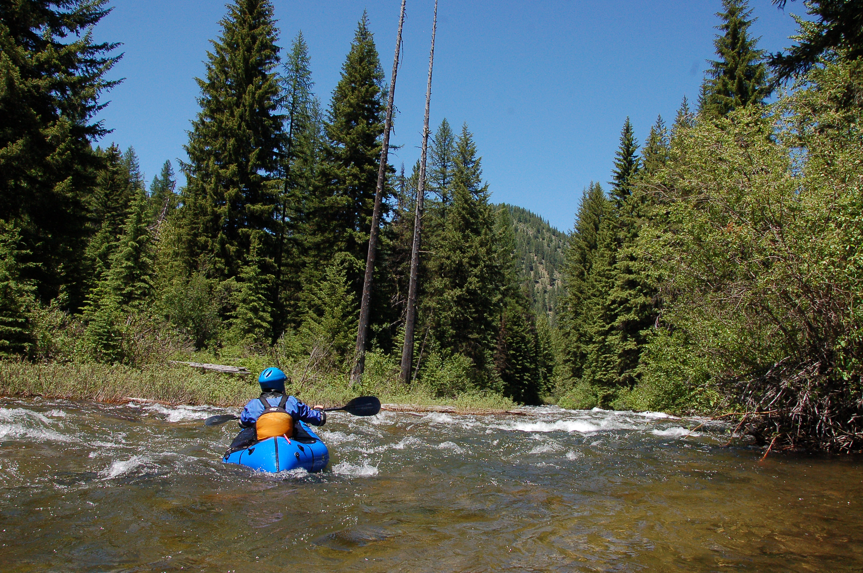
Fish Creek offers three whitewater runs of varying difficulty.
From Clearwater Junction (confluence of the North and West Forks) to Forks (Confluence with the South Fork) Fish Creek is Class II/III at reasonable flows. Expect 7 miles of nice scenery in a remote feeling valley with splashy waves and small holes. Like on all small Montana rivers and streams, navigating this reach requires the proper skills and equipment to avoid strainers.
From Forks to the junction of Upper and Lower Fish Creek roads expect an 8 mile Class II+ float at reasonable flows with the high likelihood of the occasional log or log-jam related portage. This reach is closer to the road than the upstream reach and shorter runs are an option.
From the junction of Upper and Lower Fish Creek roads to the Clark Fork, Fish Creek drops into a short whitewater canyon, that reportedly approaches Class IV at certain flows.
Park and launch in the vicinity of the Ranger Station, or really anywhere along the length of Fish Creek with road access.
You can take out by hiking out on the steep trail from the confluence, paddle to one of the Clark Fork access areas, or take out before the bottom gorge at any roadside pull off.
May 1, 2023
Josh and I ran Fish Creek from the campground to the Clark Fork this morning (maybe 2 miles). The Gorge was running at about 10.5k and rising, which corresponded to a fast and fun flow on Fish Creek. Really fun class 2+/3 with lots of little boofs and surprisingly big waves. No wood portages as of 4/30/2023. Word of caution: the trail back up to your car from the Clark Fork is quite steep, narrow, and exposed. It would be pretty dangerous with any snow or ice on the ground.