Flathead, North Fork
1. Canadian Border to Blankenship Bridge

| Difficulty | I-II+(III) |
| Length | 58 mi |
| Avg Gradient | 15 fpm |
| Gauge | N F Flathead River Nr Columbia Falls Mt |
| Flow Rate as of 51 minutes | 2530 cfslow runnable |
| Reach Info Last Updated | April 30, 2025 |
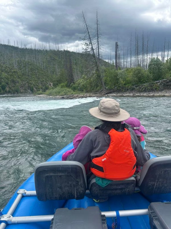
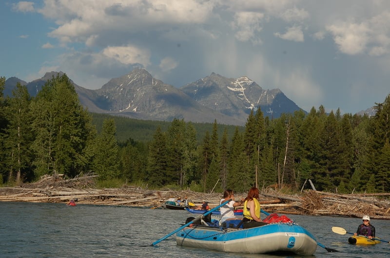
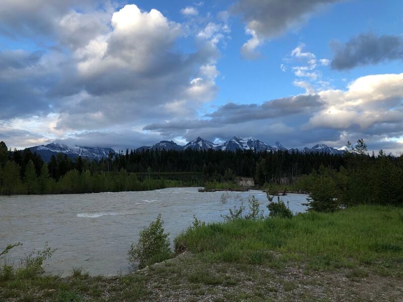
The North Fork is one of only four Wild and Scenic Rivers in Montana. It forms the southwestern border of Glacier National Park offering paddlers some of the most spectacular vistas in the Northern Rockies, blue-green water, and the chance to see grizzlies from your boat (be sure to use proper food storage practices for bear country).
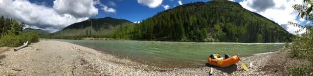
The gradient from the put-in near the Canadian Border to the take-out at Blankenship Bridge averages 15 feet per mile. The river maintains a steady pace through class I and II riffles, with an occasional rapid that may approach class III. Stay alert for wood in the river, mostly in large log jams, requiring active paddling to safely avoid. In general though, this reach is a mellow float through beautiful country. Camping is unregulated, and many people float this reach as a 2 or 3 day trip. Peak flows are in early June with low water by August that requires dragging over gravel bars and the occasional portage.
The upper reach from Canadian Border to Polebridge is class II but with numerous log jams and tight turns. No trip to the North Fork is complete without a stop at the Northern Lights Saloon in Polebridge for a beer and hot meal, and the Polebridge Mercantile for some amazing baked goods and coffee.
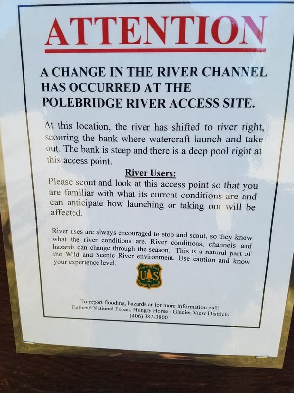
The segment from Polebridge to Big Creek Campground (a Forest Service campground on the right bank just after Big Creek confluence) is not considered whitewater but be alert for log jams, narrow channels, and some riffles. Stay particularly alert for braided channels that dead end in this section requiring some careful choices.
As you continue on from Big Creek to Blankenship Bridge you will encounter more whitewater and some tricky hydraulics. Fool Hen Rapids (class III) and Lower Fool Hen (class III) are about 8 miles below Big Creek and 3.5 above Glacier Rim (a good access point). About one mile above Glacier Rim you will encounter The Ledge, a pour-over extending fro
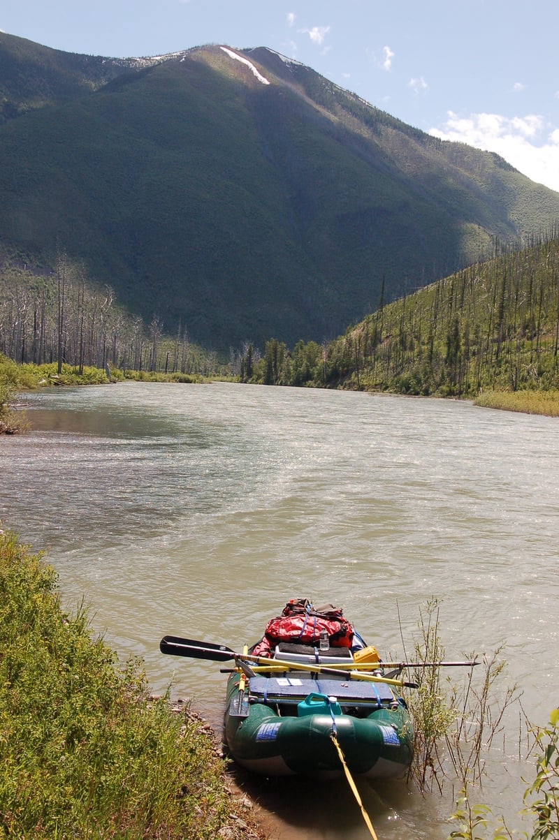
...Immediately adjacent to the Canadian border is the put-in for the start of this run.

Alternate access point that allows for a stop at the Polebridge Mercantile and Northern Lights Saloon.
Alternate river access at Big Creek Campground that let's you take out above the bigger rapids or put-in to just do the lower section.
Fool Hen Rapids (class III) are about 8 miles below Big Creek and 3.5 above Glacier Rim
Lower Fool Hen is about half a mile downstream of Upper Fool Hen.
About one mile above Glacier Rim you will encounter The Ledge where a pour-over extends from the right bank to the middle of the river (or farther at some levels). This is a dangerous flipper but easy to avoid if staying alert to downstream obstacles. Stay to river left and look it over. It can be impressive.
Access available on both sides of the bridge but river right recommended to avoid the ferry across the confluence with the Middle Fork.
Jun 27, 2025
A fun, partly cloudy day from Big Creek to Blankenship. It took us just under 4 hours with a couple brief stops at this level (3,200cfs). There are a couple fun wave trains before the listed rapids on AW and Paddleways apps for this section, but nothing too complicated.
Upper Fool Hen was a bit longer than expected and had some ugly looking hydraulics in two places river left. These are easily avoidable if you stay in the middle as the river gradually bends to the right.
Lower Fool Hen could be run either right or left of the exposed boulder at this level. Left is trickier because you might cross into a rather strong reciculating eddy directly behind the rock.
The Ledge did not look fun. Your upstream view of it was partially obsctructed by a small wave about 20ft before it. There was no problem going left.
The Flathead Valley Paddling Society group on Facebook had some helpful info on rapids (including the SAR post screenshot about the Shelf/Ledge/Wave) and shuttle information (XCLSVE Shuttles).
Jul 16, 2017
See comment. As of 7/17