Rock
Indianford / Janesville Dams (PnP)
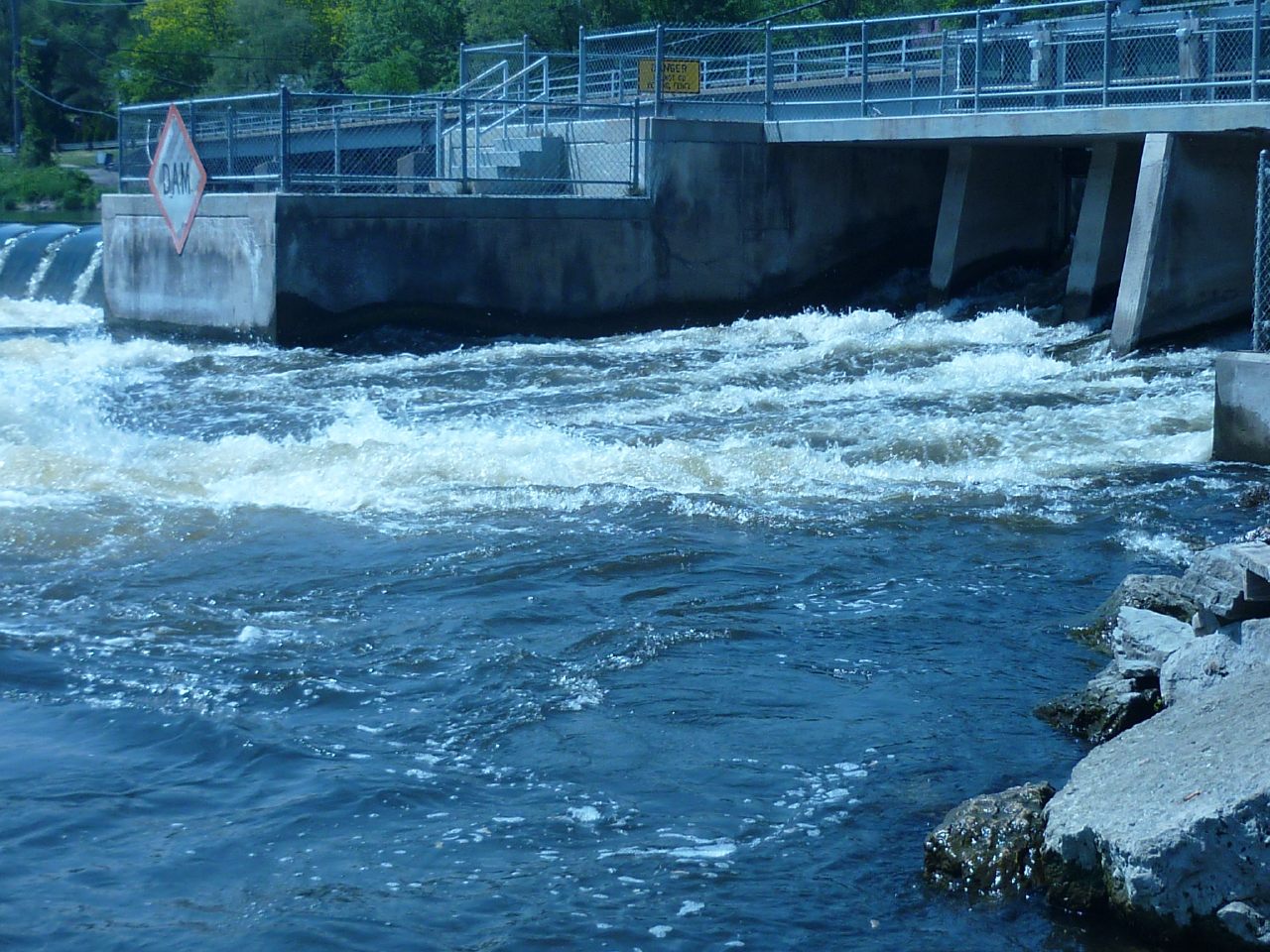
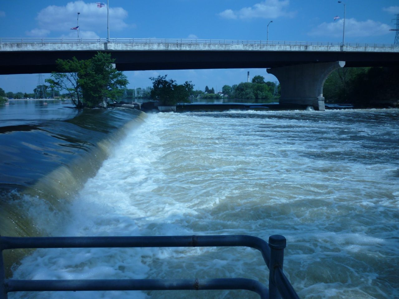
The second ('lower') dam in Janesville lies immediately under Hwy.51/Center Avenue. This is in a city park just downstream of a huge rock outcropping with a historical plaque, marking it as the site of the spot where settlers crossed the river, and where the first settler's cabin was built. This rock (significant to the Native American Tribes and settlers alike) apparently is what the county is named after. The dam is a split-wing affair, the river-left half (to the right in the photo frame) lies perpendicular to the flow (parallel to and under the highway bridge), white the river-right half (to the left in the photo frame) takes a steep angle diagonally downstream. Flow over both 'wings' angles off then plunges into the river below, forming (at almost all flows) a nasty hydraulic.
Rob Smage
n/a