Partridge
Co.Rd.565/Allen Junction Rd to Co.Hwy.110 (7 miles)
| Difficulty | I-II |
| Length | 7.1 mi |
| Avg Gradient | n/a |
| Reach Info Last Updated | December 10, 2013 |
Doing more 'virtual exploring', I came across this stretch of marked marked rapids via Google maps. Probably not any sort of 'destination', but looks like it could be worthwhile for anyone in the area.
brianund provides:
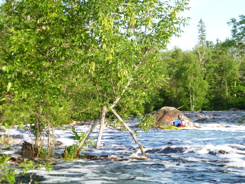
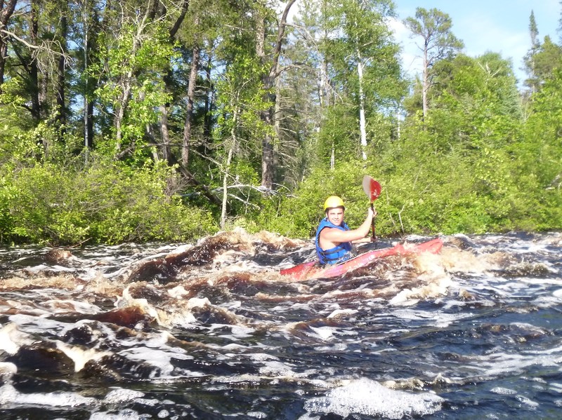
Put in on the lake by the power plant, it will shorten the paddle significantly. This run could have some potential at VERY high water levels, but there was more pulling through the rocks with hands than paddling. There is one significant stretch where the river constricts and flows around two twists where it looks like there could be potential for strainers. Again, at high levels, if you were in the area this would be a fun little stretch. Approximately five miles of paddling resulted in finding only one OK hole to surf.

Per report, putting in by the power plant eliminates a lot of uninteresting (lake) paddling.
This initial stretch of the listed run has no 'rapids' marked, but the topo map does show really good gradient (at least 40' of drop to the lake). The satellite view shows only what appears to be (perhaps) random boulderbed stretch of rapids.
A marked 'rapids' appears here on the topo map. There is little in evidence on the satellite view (on Google maps).
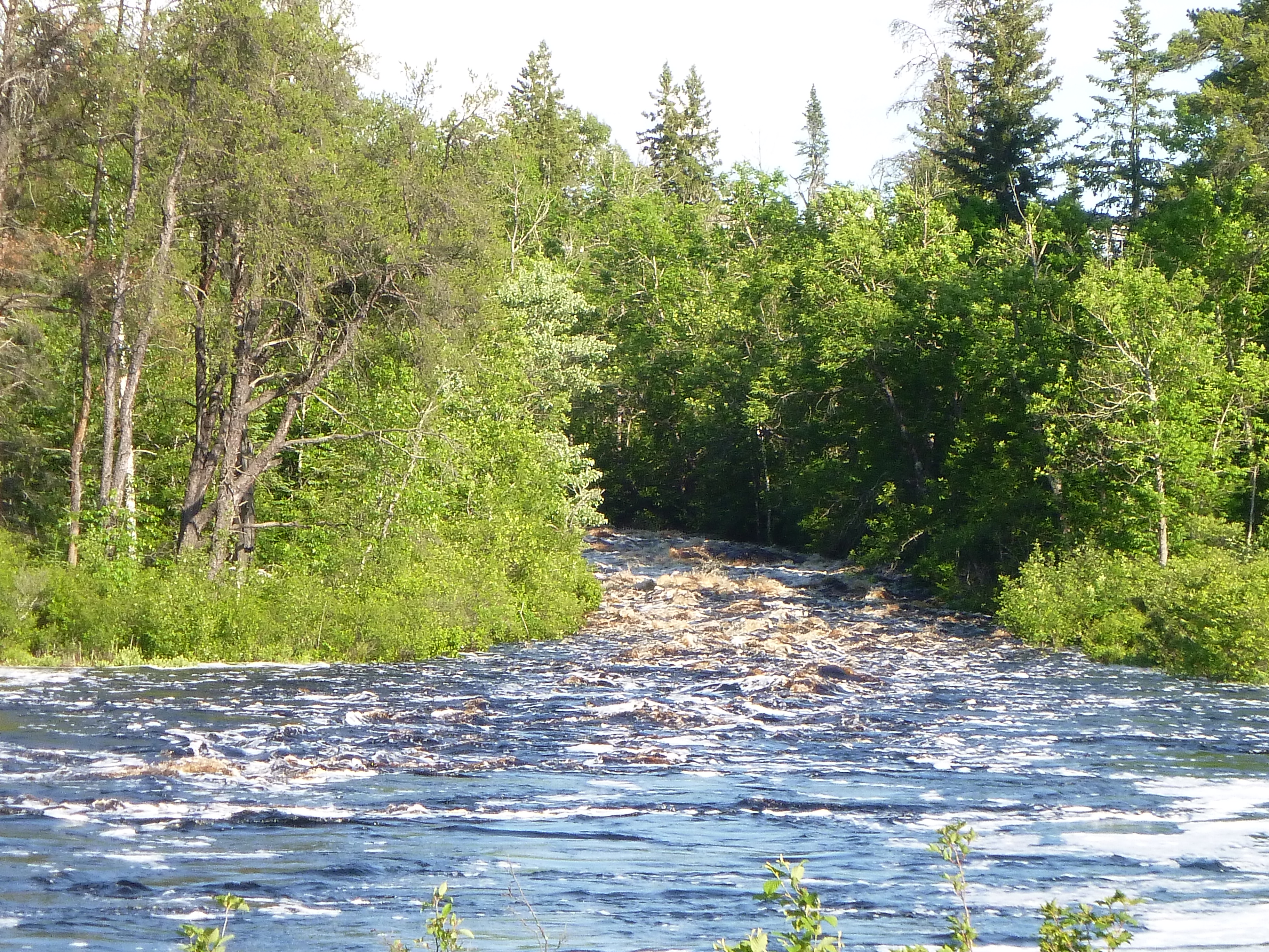
A marked 'rapids' appears here on the topo map. Satellite view (on Google maps) again shows a good narrowing and hints at a rocky passage.
A marked 'rapids' appears here on the topo map. Satellite view (on Google maps) shows a narrowing in the river, and some apparent rock/ledge/wave.
(Based on personal measurement via online planimeter and topomaps.)