Teton River, North Fork
Rocky Mountain Front

| Difficulty | II+ |
| Length | 7.6 mi |
| Avg Gradient | n/a |
| Gauge | Teton River Bl South Fork Nr Choteau Mt |
| Flow Rate as of 55 minutes | 158 cfsbelow recommended |
| Reach Info Last Updated | October 4, 2022 |
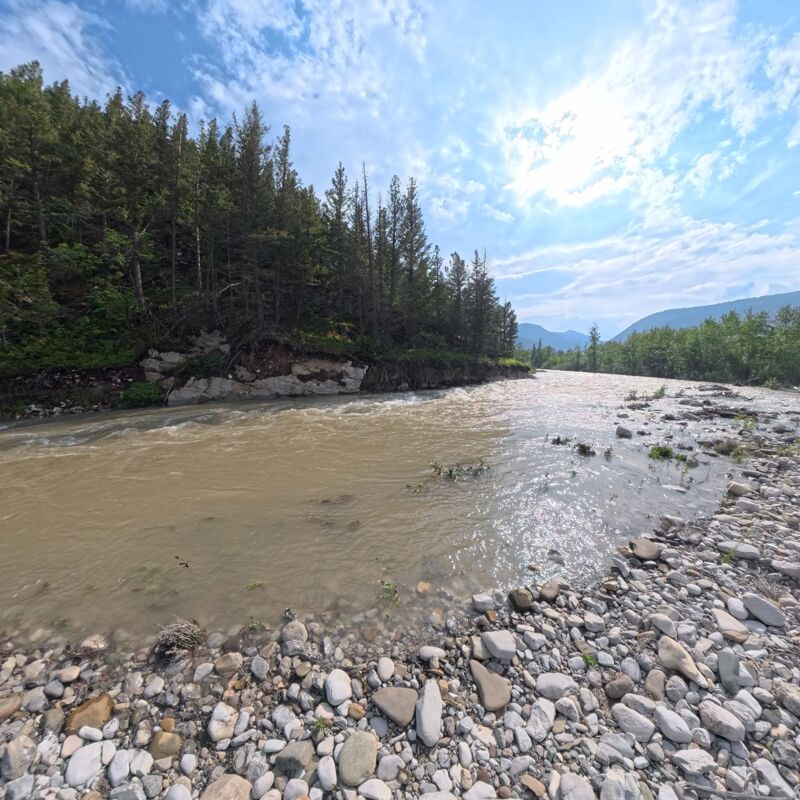
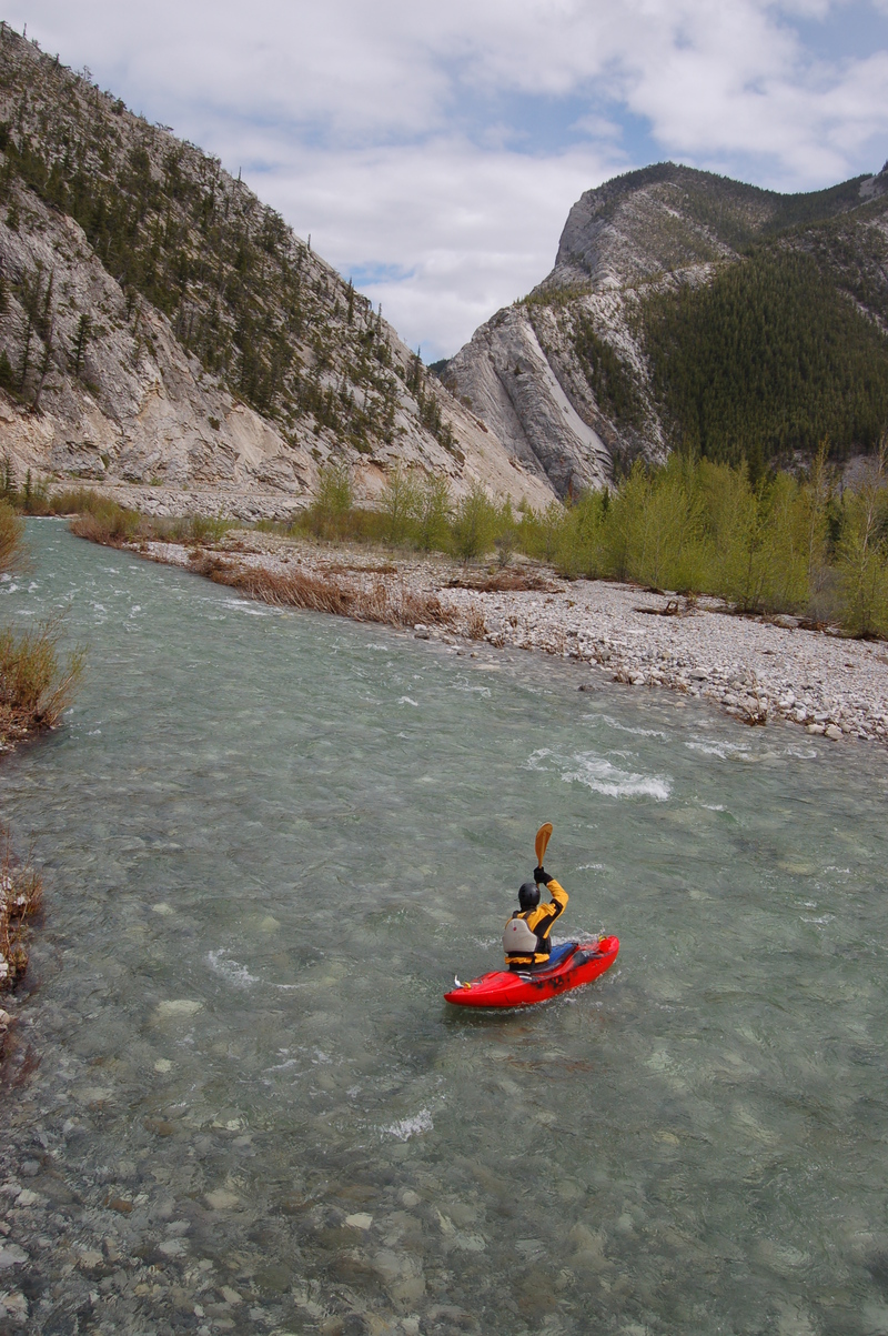
Beautiful splashy class II+ roadside bluewater run on the Rocky Mountain Front. There are no distinct rapids, just non-stop splashy rapids with a few moves here and there. Choose your own adventure, and enjoy the scenery.
One word of caution about gages on the Rocky Mountain Front. In most cases, the rivers flowing off the Front decrease in volume as they flow out into the plains. This is because they are heavily diverted for agriculture. Rely on gages with a significant measure of caution since diversions severely alter flows, typically immediately upon the rivers leaving the mountains or even sooner.
Jun 30, 2026
This river was a rushing, surging brown torrent. We went on a Tuesday - over Sunday and Monday it had rained a total of 6.9 inches! Very fast, some blind corners, not that many take out spots. Eddies can be hard to fin in some stretches. No strainers. Lots of fun, but over too quick!
May 20, 2012
Put in at the first cattle guard below Clary Coulee Trail head and got out at the South Fork Bridge. A nice class I boogie water run--Don't know where the class II-III run is?
Jun 7, 2008
The Teton is roadside and offers up a splashy Class II+ bluewater run through spectacular scenery.