Rattlesnake Creek
Rattlesnake Trailhead to Clark Fork
| Difficulty | II-III |
| Length | 4.4 mi |
| Avg Gradient | n/a |
| Gauge | Rattlesnake Cr Nr Missoula, Mt |
| Flow Rate as of 1 hour | 98 cfsbelow recommended |
| Reach Info Last Updated | June 2, 2025 |
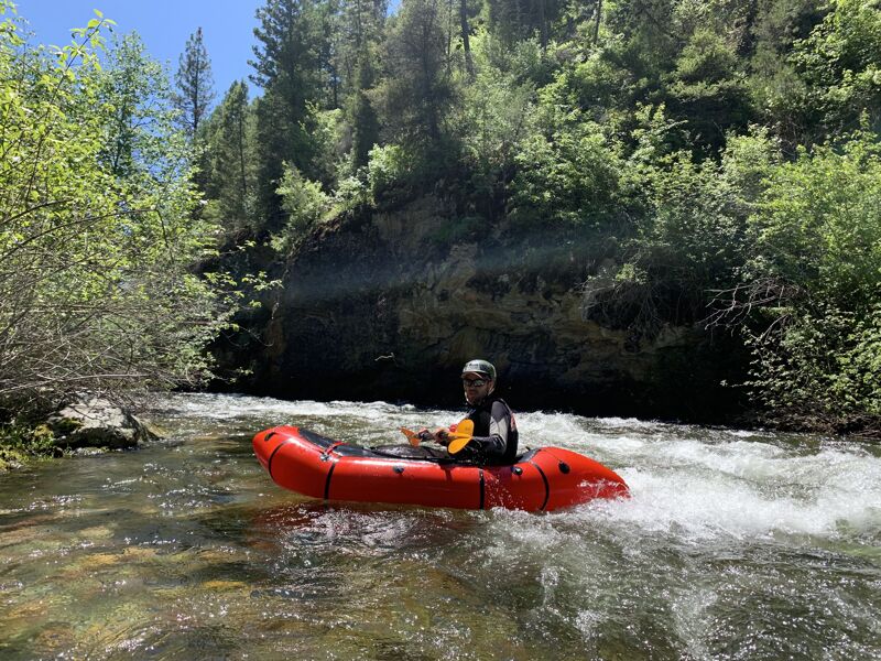
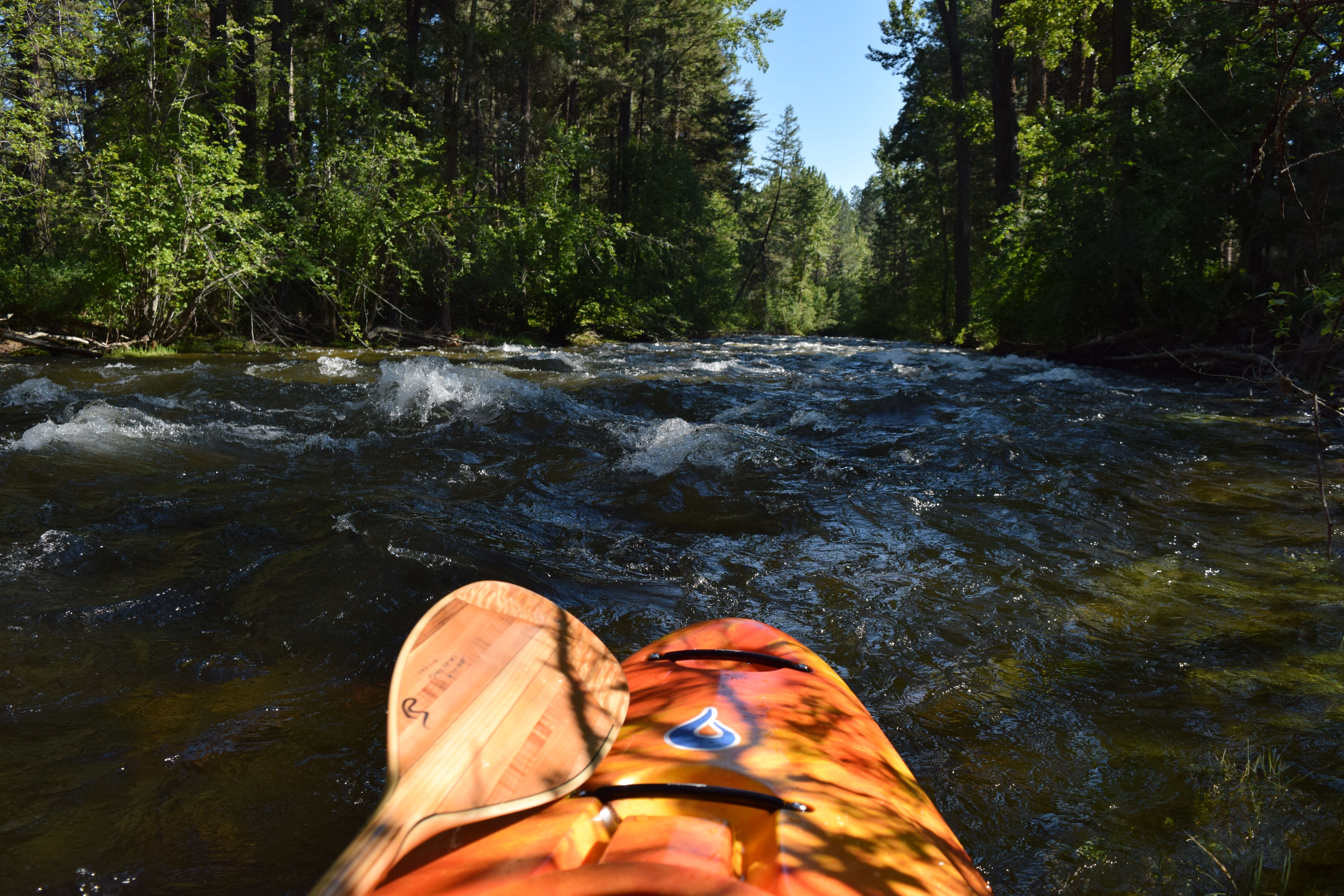
Rattlesnake Creek at medium and high flows offers Missoulians a zoomy and splashy paddling trip through the neighborhoods and parks of the Rattlesnake valley. There are no rapids to speak of, just non-stop Class II wavetrains. The ever-present possibility (and likelihood) of strainers in combination with a lack of eddies however makes this run a poor choice for less skilled whitewater paddlers.
In 2017, there are no less than four river-wide strainers between the Rattlesnake Trailhead put-in and the Clark Fork confluence. Two between Rattlesnake Trailhead Bridge and Duncan, then more in Greenough Park. Strainers are highly dynamic, and can be anywhere or nowhere. Stay heads up. Most strainers have some visibility. The city of Missoula has no interest in removing the wood, so please be advised and proceed with caution.
There are also a number of braided channels and tight corners that pose a challenge to paddlers. While not without its challenges, Rattlesnake Creek offers a rare opportunity to paddle an often beautiful creek through a town, with an easy bike shuttle.
Track flows here: https://gis.dnrc.mt.gov/apps/stage/gage-report/location/bbc1c75b738446e3843baed619b1cd8c
In the old dam site, dangerous strainers exist on river left but river right is currently generally safe. Kudos to all the folks who worked hard to remove this dam and opened up this fun backyard recreation opportunity for Missoulians!
The best place to put in is often to walk upstream a bit from the trailhead and follow the paths down to the river.
Public parking and a short trail to the river at a footbridge.
A nice public parking area with short trail access to the river.
There are lots of take out options once you hit the Clark Fork, the most convenient and fun of which is Brennan's Wave.
Mar 29, 2026
I am a big booster of packrafting Rattlesnake Creek, but it's less advisable this year than in years past. Currently, many more logs in Rattlesnake Creek than in years past, especially between Rattlesnake Creek Traihead and Duncan Drive. That area would be class 5 at high water and I would not recommend it above medium flow this year, with river-wide logs, a beaver dam, and pushy hydraulics leading to hazardous conditions. Below water level of 55 on the guage at the most upstream pedestrian bridge in Greenough Park, the upper section of the creek should be navigable for experienced packrafters who are willing to float the Lochsa, but hazards are high. Between Duncan Drive and Greenough park there were some hazards, but it would be doable for class 3-4 boaters at that level. In Greenough park there are at least 3 river-wide hazard trees and it's not recommended at high water this year, although below the bottom bridge out to the Clark Fork was fine.
Jul 1, 2017
The reason for putting in at Duncan Drive (and not above) is a river-wide hazardous dam structure that usually acts as a strainer. Water flows under the dam, through a metal grate, usually clogged with logs. You could easily lose a paddler to this structure. The section between Sawmill Gulch Road Bridge and Duncan Drive is not recommended. If you want to link, exit left above the first concrete structure encountered and portage the 1/4 mile to put in below the dam.