Cloverlick Creek
Trace Branch to Poor Fork of the Cumberland (4 miles)
| Difficulty | II(IV) |
| Length | 3.7 mi |
| Avg Gradient | 53 fpm |
| Gauge | Poor Fork at Cumberland, Ky |
| Flow Rate as of 1 hour | 32 cfsbelow recommended |
| Reach Info Last Updated | December 18, 2010 |
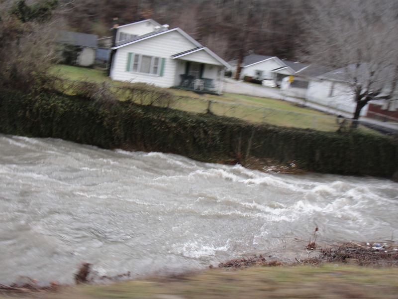
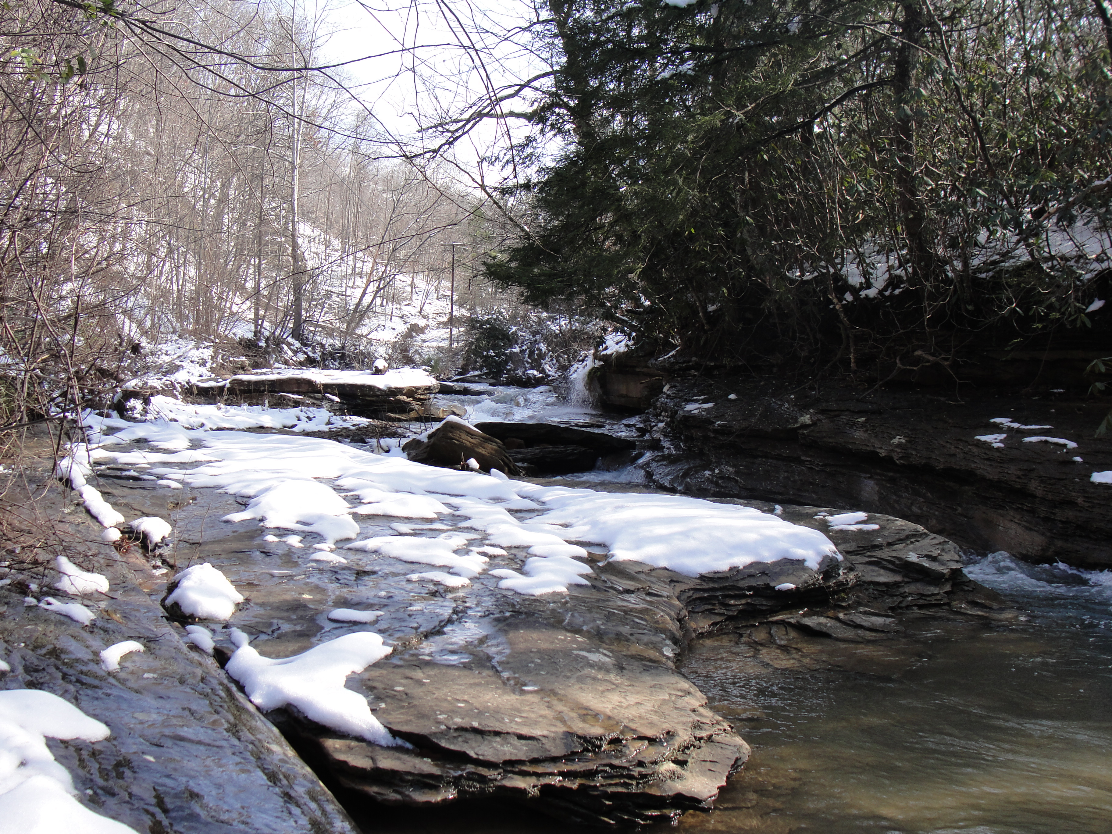
I first paddled Cloverlick creek in December 2008. Someone told me that there was a creek near the city of Cumberland Ky, that would be worth doing if the water was up. After a good rain I went to check it out. While Driving up College Road you can scout 80% of the creek. All the major rapids are viewable on the drive up. This creek is mostly exposed bedrock, but has a long section that has been channeled off by boulders. When the creek is running, it is fast paced and a load of fun. There is not a specific gauge for this creek so I use the one for the Poor Fork In Cumberland. The higher this one reads the better the Cloverlick will be.
The put-in is a little tricky because of minimal space for parking. There is enough room for two or three cars to squeeze in this road side area. The first rapid is at the put in, and I believe has been the spot local churches uses to baptize their congregation. Its is a narrow bedrock slide that has been eroded out to form a channel. There is a initial drop of three to four feet and a second that is smaller.
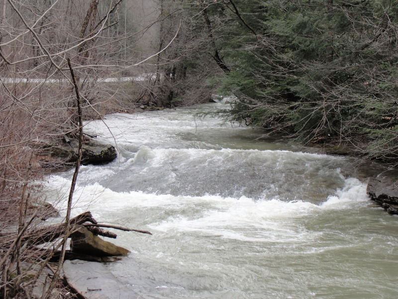
After this little warm up there is a short section of swift flat water and small shoals that will bring you to the second rapid. It consists of two bedrock slides the first one drops about 2' and the second 5'. They both form holes at the bottoms, that can be easily paddled through or surfed.
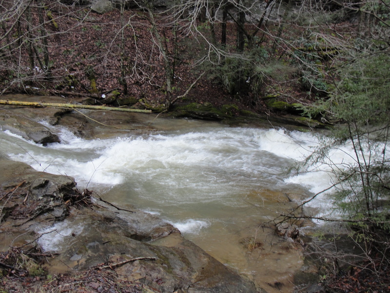
After these slides is a short pool for preparation for the most significant drop on the creek. It starts as a huge slab of raised bedrock channels off the river form about 20' to 10'. A hole forms at the top of the rapid that leads into a slide drop followed by a more holes. After the slab of bedrock there is a good sized eddy.
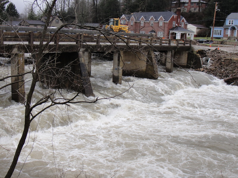
The next rapid is the longest on the creek, lasting about 200 yards. This rapid starts at the pylons on a deconstructed bridge. After the pylons there is a fast slide ending with a river-wide hole, or small ledge, depending on the level. After this hole the river is significantly channeled
...Dec 17, 2010
Ran it today at around 400 cfs, it was a little low. The main rapids were good, but the in between was scrapefest.
Feb 6, 2010
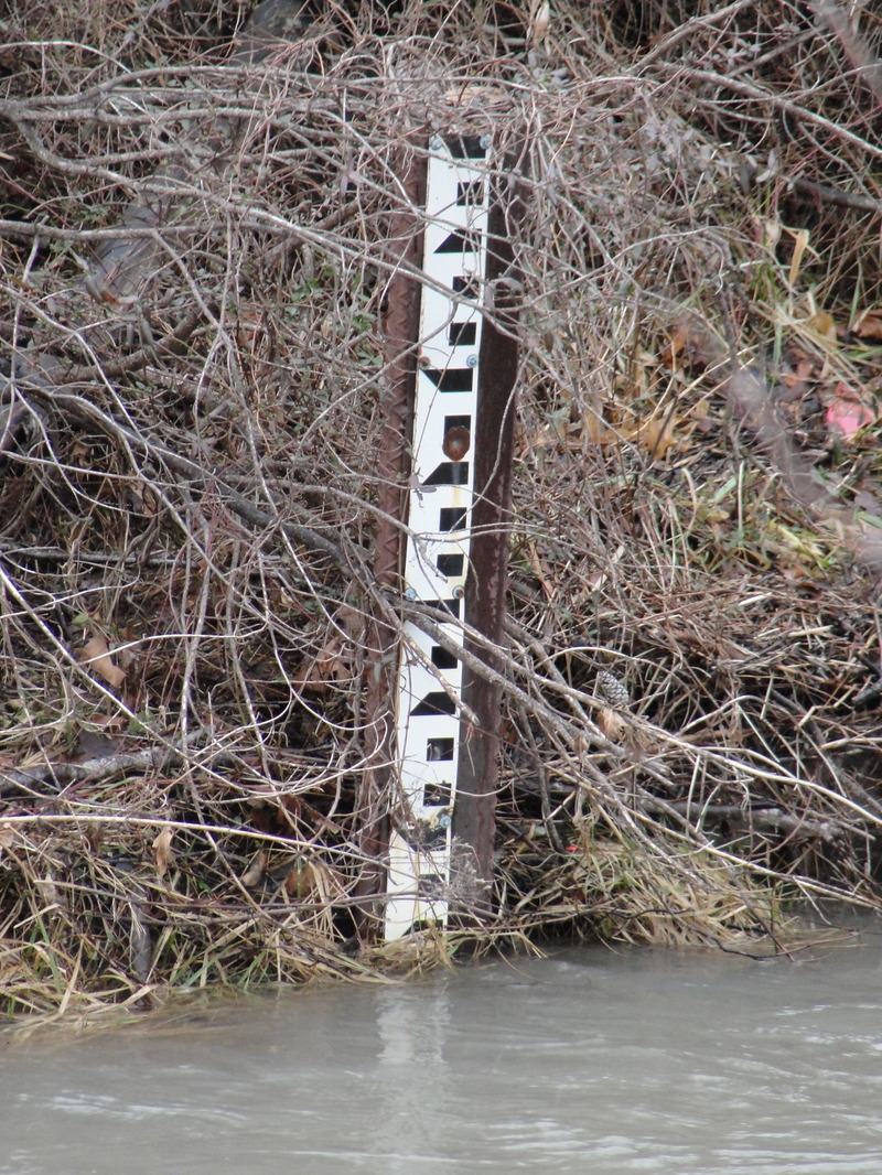
There are two gauges on the creek, right before the dam, on the left side of the river. They go up to 5ft. It is about 1.5 FT in the picture.
Feb 6, 2010
Paddled the cloverlick today with the Harlan gauge at around 4500, and the creek gauge at 1.5 ft. It was at a mid-runnable level, some shallow spots, and a low head dam about 3ft tall, you would have to portage at higher levels. I ran it far river left. The rapids were fun and the water quality wasn't to bad. Only two river wide strainers on a flat section after The Drag Strip. It took me 1 hour to do the trip. Here are the links to a couple videos of the creek.
http://www.youtube.com/watch?v=9ejO9THy9Ok
http://www.youtube.com/watch?v=i3jgg9hpTTc