Yellow (Chippewa trib)
D) Cadott (PnP)
| Difficulty | I-II |
| Length | 0.3 mi |
| Avg Gradient | n/a |
| Reach Info Last Updated | September 7, 2020 |
cjmyers provides:
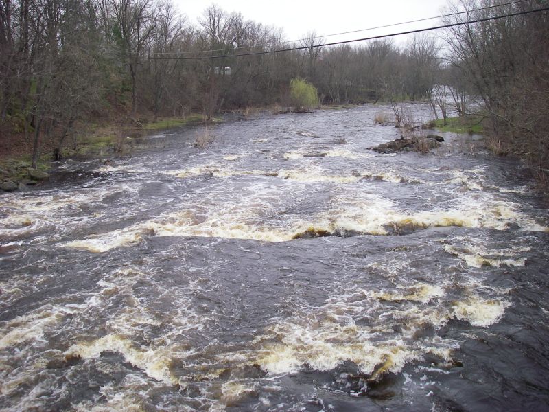
a park and play spot in Cadott - 12 or so miles east of Chippewa Falls on HWY 29.
The main street bridge is an easy put in, and take out is about 3 city blocks downstream river left at the end of the rock garden ... it should be able to occupy you for a good day.

A USGS gauge had existed at Hwy.27 (just upstream of this section) from 1942-1961, and listed drainage area as 364 square miles.
May 1, 2011
Just below the bridge
Apr 30, 2011
Just below the bridge
Apr 30, 2011
Just below the bridge
Apr 30, 2011
Stopped and looked at on April 30th, 2011. Looked like a nice class II run. Level can be assessed from the bridge at putin.
May 17, 2010
Paddled on 12 May 2010. Able to just make it through 2nd set of rapids without scraping. No easy way to tell level. Take out is actually at corner of Poplar and Stanley. Sort of just a green space that fishermen used for access. Which we had to dodge a few of on the paddle.
