Turkey
Vernon Springs Park (PnP rock-arch rapids)
| Difficulty | I-II |
| Length | 0.19 mi |
| Avg Gradient | n/a |
| Gauge | Turkey River at Elkader |
| Reach Info Last Updated | June 10, 2024 |
The Vernon Springs dam has been removed and replaced by 350 feet of 'rock arch rapids'. This eliminates the hazard of a low-head dam, allows fish passage, while maintaining the Vernon Springs Millpond which the former dam had created.
While this is not specifically designed as a 'whitewater park', there may be flows at which some whitewater entertainment may be possible.
Parking is available in Vernon Springs Park (off of Valley Avenue), and camping is available across the street in Murray Wildlife Area.
(Note: rivermap 'geometry' was modified to 'widen' the map view above to make it more meaningful. As a result, ignore 'length' info above.)
Check out a (low water, non-boating) video of the rock arch rapids: https://youtu.be/I7f5HbRN640
No river features have been added
Apr 23, 2012
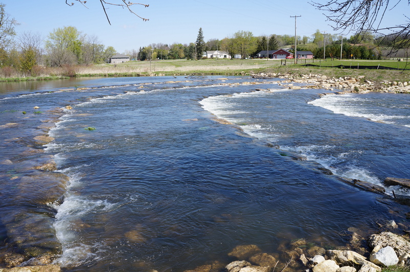
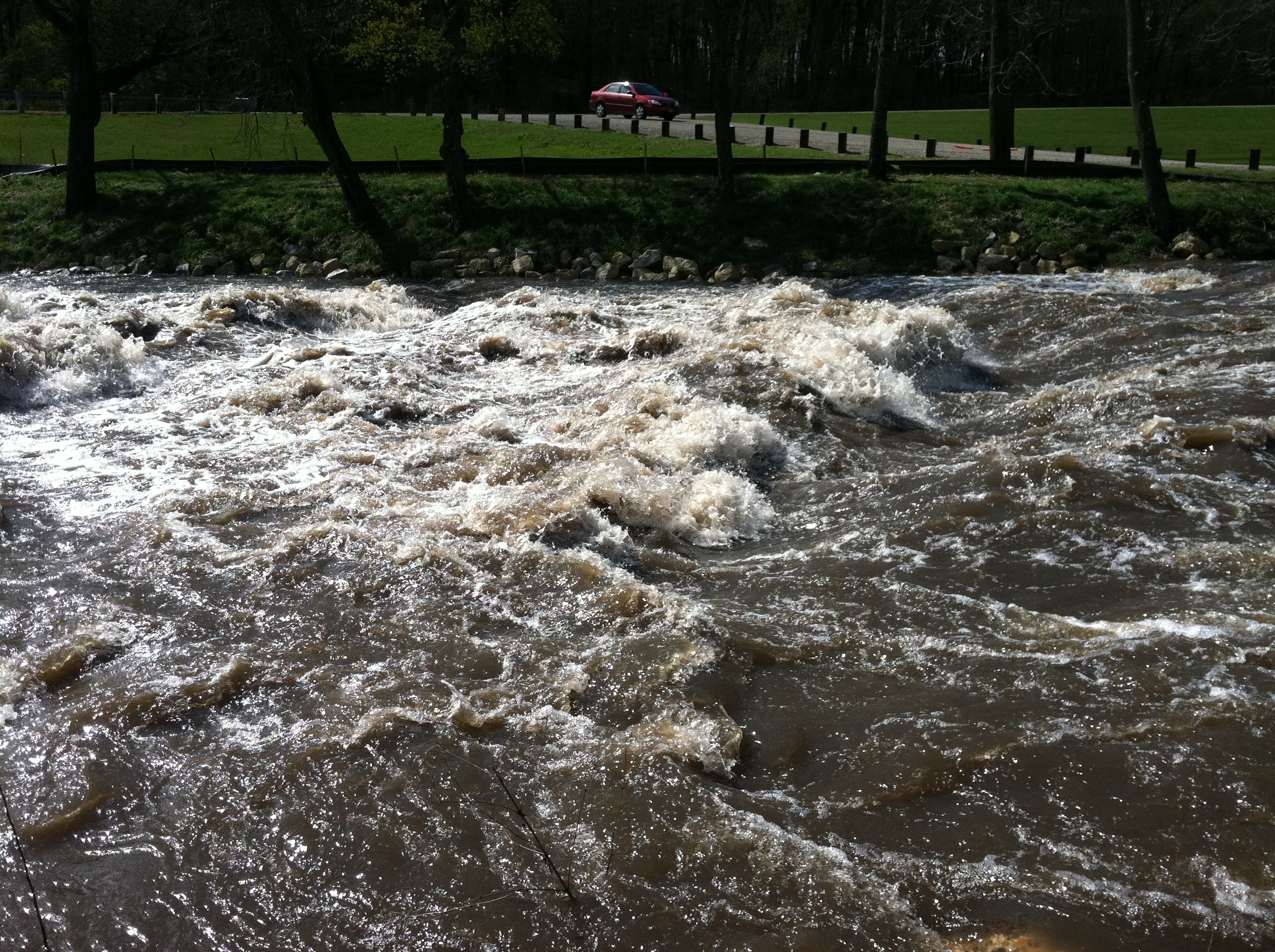
Upper section of rapids at 2ft on Cresco gauge, 400cfs/4.25ft on Spillville
Apr 23, 2012
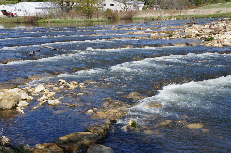
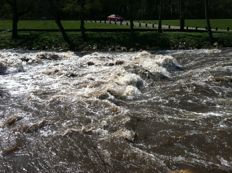
Middle section of rapids at 2ft on Cresco gauge, 400cfs/4.25ft on Spillville
visiable strainer has been removed
Apr 23, 2012
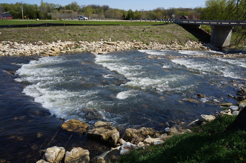
Lower section of rapids at 2ft on Cresco gauge, 400cfs/4.25ft on Spillville
Here the river channles to the left and right of the center bridge pillar
Apr 22, 2012
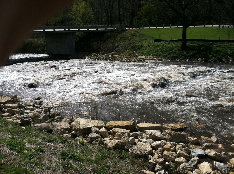
view from NE bank after 2' of rain
Apr 22, 2012
A gauge 4 miles downstream that should be good for this stretch can be found http://water.weather.gov/ahps2/hydrograph.php?wfo=arx&gage=tcgi
not sure why, but the USGS doesn't monitor it, so I don't know if it can be added to the flow listing for this stretch. It is a much more accurate assesment of how this is flowing, compared to Spillville gauge 30 some miles downsteam.
Apr 20, 2012
view of bottom half of run from the NE bank