Saint-Laurent (St. Lawrence)
1) Valleyfield (Saint-Charles River)
| Difficulty | I-III |
| Length | 0.25 mi |
| Avg Gradient | n/a |
| Reach Info Last Updated | August 18, 2018 |
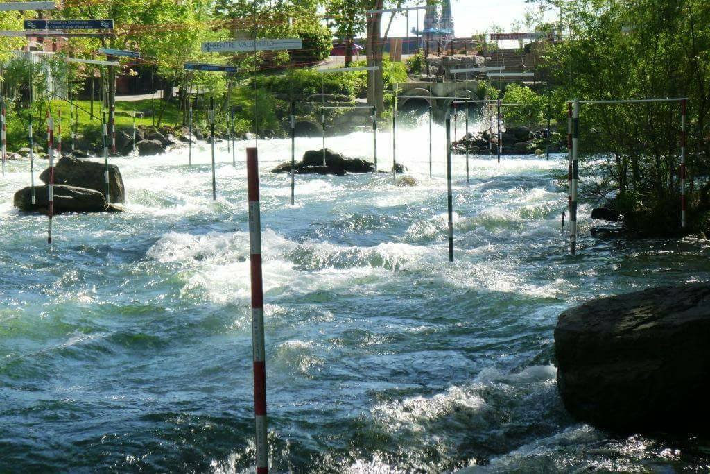
Located just West of Montreal, Valleyfield provides boaters in the area with a change of pace from the big waves of Habitat and Lachine.
This is a man-made whitewater park with consistent flow year round. It was set up as a slalom course, but accommodates paddlers of all disciplines. The run itself is only about 300 yards long, but is packed with several decent play spots. The top feature is the most popular as most hole moves are possible. The adjacent small hole is retentive but friendly--a good place for beginners to practice side surfing and learn the finer points of edging.
Near the bottom there are two more features worth checking out. There is a wide wave capable of fitting several paddlers. Behind this, there is a gentle wave suitable for beginners with the benefit of no consequences below it.
Hazards
There is a large pile of concrete blocks downstream of the uppermost features. When Iced over it can appear particularly unfriendly. Be sure to take a look at this before paddling the top features regardless of ice.
Technical info
Put in elevation........ 820'
Take out elevation...... 810'
Total drop.............. 10'
Average drop/mile....... 30'
Maximum drop/mile....... 30'
River profile type...... one short rapid
Distance................ 300 yards
Duration................ 5 minutes
Shuttle length.......... 300 yards, walking
Portages................ none
River width average..... 50-100'
River geology........... man made
River water quality..... fair
Scenery................. downtown valleyfield
Distance from Montreal.. 20 miles
Rafting, Paddling Shops, Etc.
Le Centre d'excellence d'eau vive de Valleyfield (http://kayakvalleyfield.org/)
Campgrounds
KOA- www.koa.com (450)-763-5625
Seign
...No trip reports yet.