Yellowstone
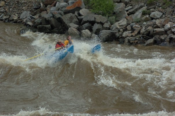
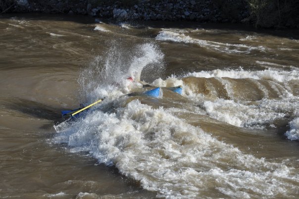
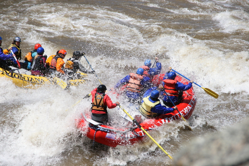
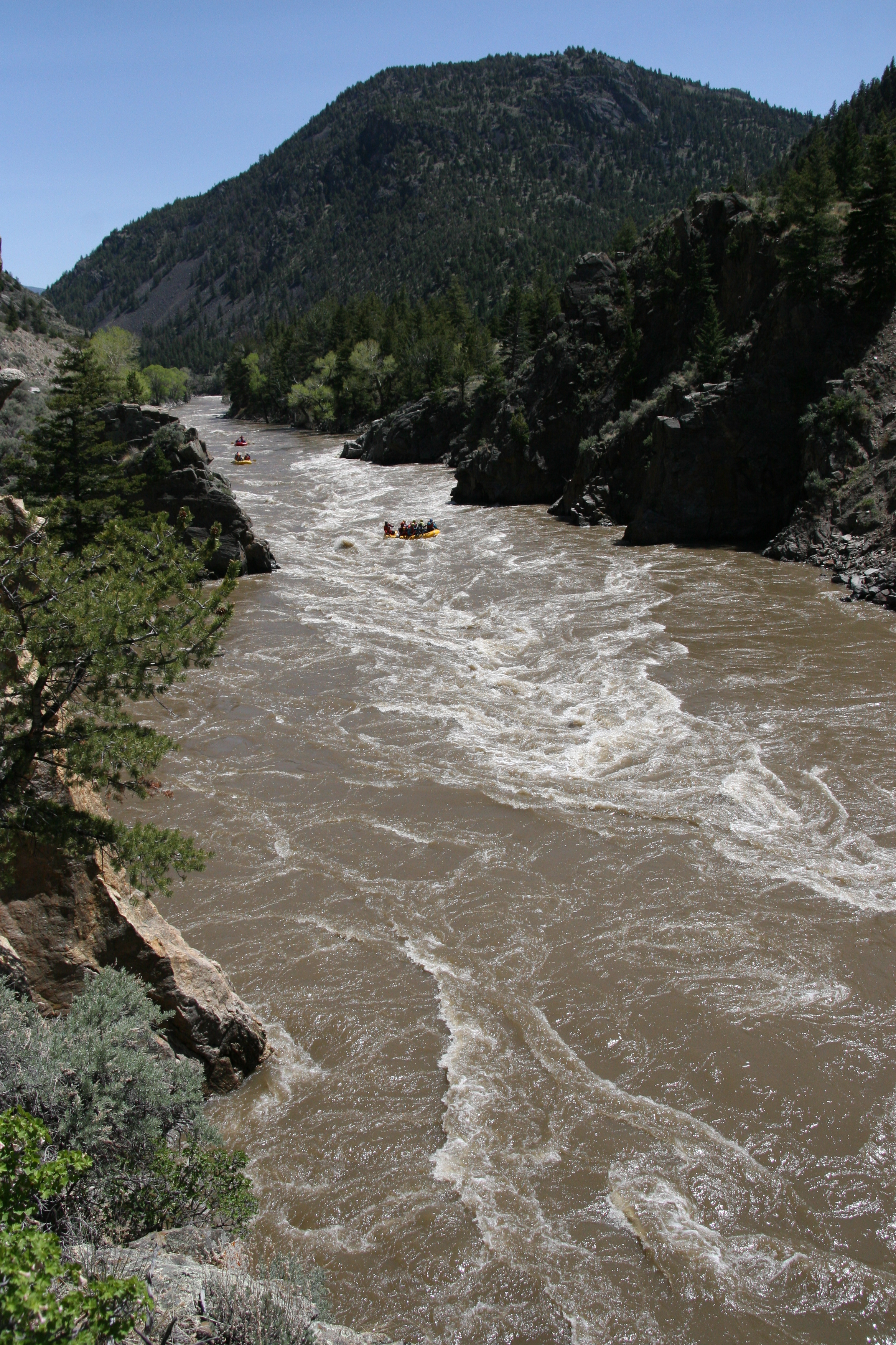
2. Yankee Jim to Carbella (Yankee Jim Canyon)
| Difficulty | III-IV |
| Length | 5.4 mi |
| Avg Gradient | n/a |
| Gauge | Yellowstone River at Corwin Springs Mt |
| Flow Rate as of 40 minutes | 3730 cfsmedium runnable |
| Reach Info Last Updated | August 7, 2020 |
Put In: Yankee Jim River Access and Picnic Area, Custer Gallatin National Forest
Take Out: Carbella River Access and Campground, Custer Gallatin National Forest
The put-in and take-out points have launch ramps and unmarked parking areas.
The Yankee Jim River Access may be closed by the Forest Service during periods of high spring runoff (~30,000CFS).
This river has characteristics of a Class IV run at high water. Moderate to low flows make rapids closer to Class III.
Lat/longitude coords are approximate, from TopoZone.
No trip reports yet.