Sabine River
Toledo Bend Dam (PnP)
| Difficulty | III |
| Length | 1.5 mi |
| Avg Gradient | n/a |
| Gauge | Sabine Rv at Toledo Bd Res Nr Burkeville, Tx |
| Flow Rate as of 23 minutes | 185 cfsbelow recommended |
| Reach Info Last Updated | February 10, 2021 |
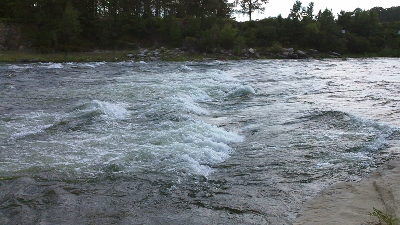
The rapids are only present during one generator operation. If they generate 24/7 the rapids will wash out, so it's best to go soon after start up.
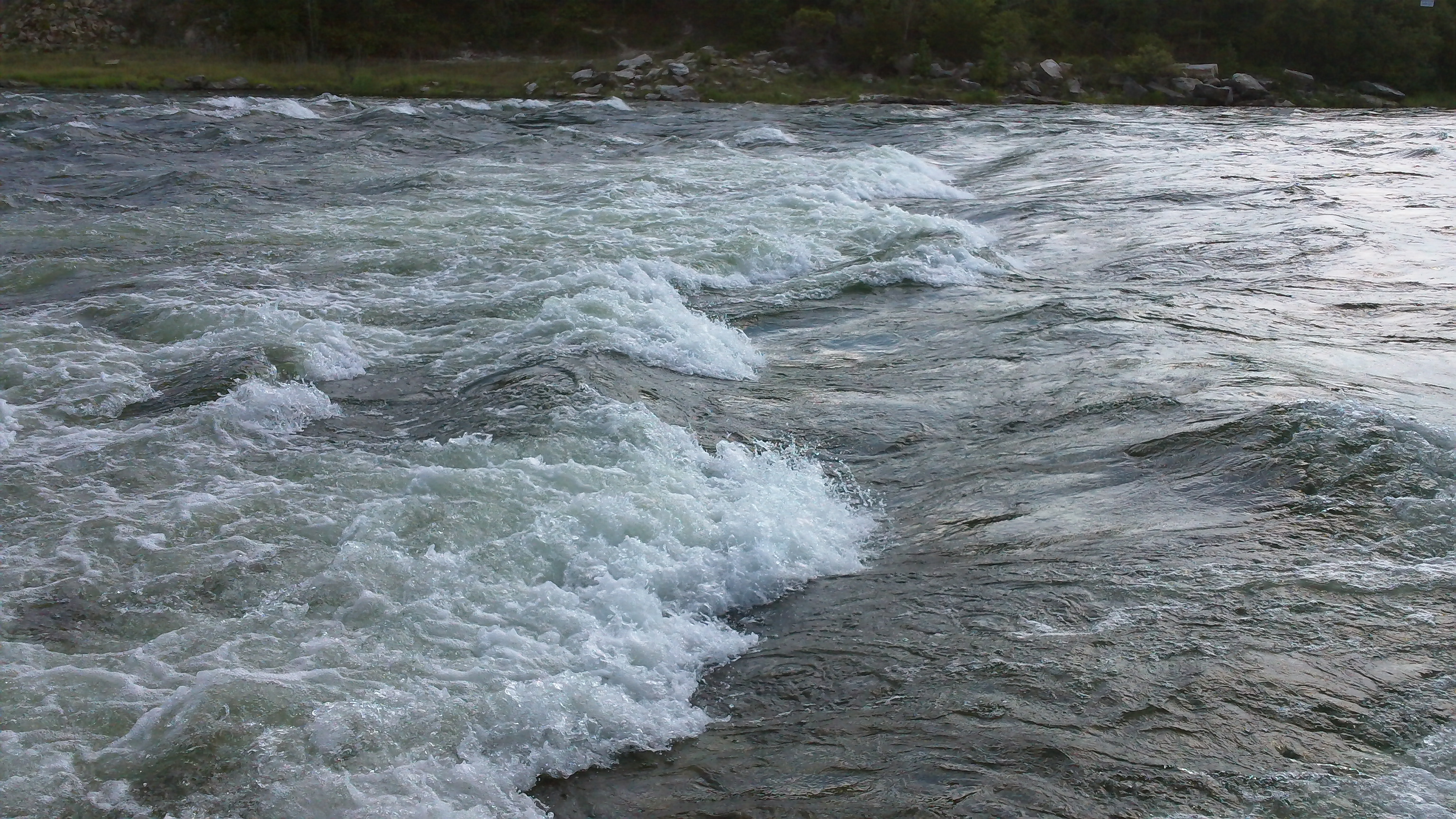
There is a steep trail down on either side of the rapid. The river right trail goes to a large recirculating eddy, with some good wave trains. The river left trail goes down to a rock outcrop with a small eddy.
If you continue downstream, beware of a river wide hydraulic at the confluence with the Sabine River. This hydraulic is locally known as the Ghost Wave and it is said to be extremely retentive.
To check the generation schedule, visit the Sabine River Authority. Please comment if you experience any access problems.
This reach is near the Toledo Bend Spillway in Louisiana.
There is a large standing wave on river left with eddy access and random breaking waves on river right. There's a huge eddy on river right, that you can catch at the bottom of the rapids and paddle back up for another run.

This river wide standing wave appears where the generator canal meets the Sabine River. During two generator operation, it will appear for the first two hours of operation and reappear for two hours after the generators are shutdown.
Oct 27, 2010
So . . . the implication would seem to be that Sabine River - Toledo Bend Dam (reach #10355) is (indeed) different from Sabine River - Toledo Bend Spillway (reach #10178). I see they have different class (difficulty ratings) and different flow requirements (though pegged off of the same gauge). The latter (10178) has three photos, two listed rapids, and has the put-in and take-out coordinates filled in. Unfortunately, the former (#10355) has none of the above. Could you specify the put-in/take-out for this one, so boaters can see how it is different from the other, and know where to look for it when flows make it playable? (Not to mention posting any photos or more details about it.)
Oct 26, 2010
Is this in Louisiana or Texas? http://tinyurl.com/ToledoBendDam shows the Toledo Bend Dam as being across the border in Texas.
Oct 26, 2010
Yep...it's on the Texas side. I moved it and linked the dam and spillway.