Sweet Creek
Sweet Creek Falls to Homestead Trailhead
| Difficulty | IV-V |
| Length | 0 mi |
| Avg Gradient | n/a |
| Gauge | Siuslaw River Near Mapleton, or |
| Flow Rate as of 48 minutes | 142 cfs |
| Reach Info Last Updated | June 4, 2019 |
FLOWS: The level ranges above are based off dropping flows. If flows are dropping, this gauge is pretty accurate. Rising levels are hard to account for since the gauge is so far downstream on a much bigger river. If you leave the house with 8' and rising, you may have 15' by the time you get home at the end of the day. That said if flows get blown out, you are close to Lake Creek and can do some playboating as a backup.
Video from a high water day (well over 12')
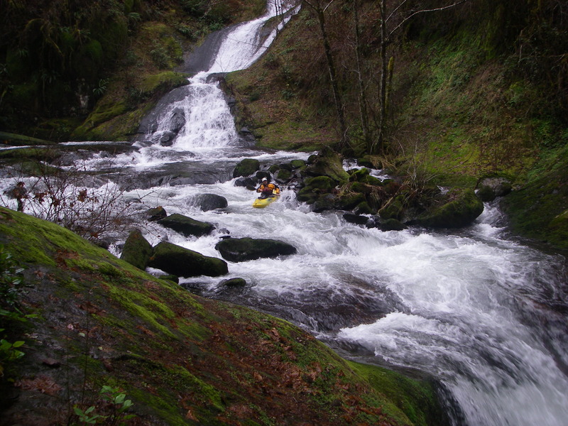
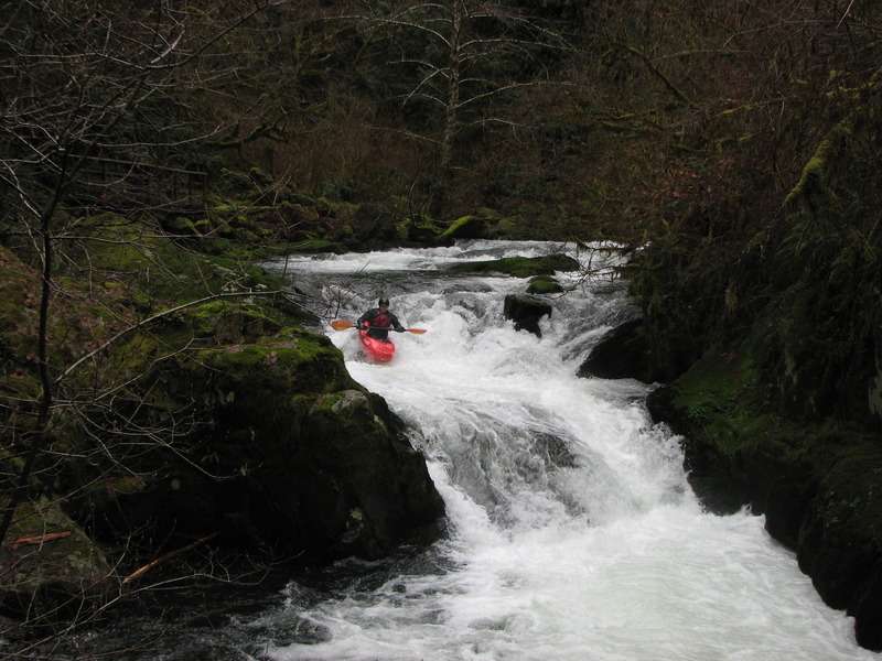
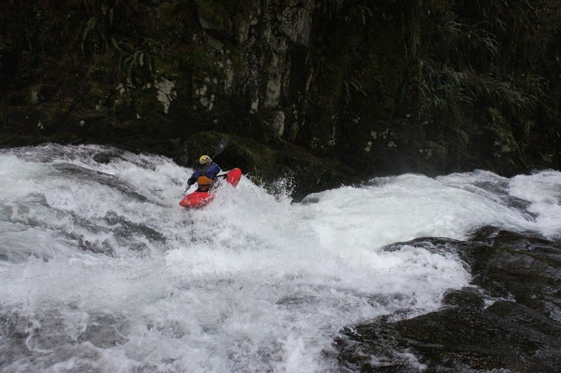
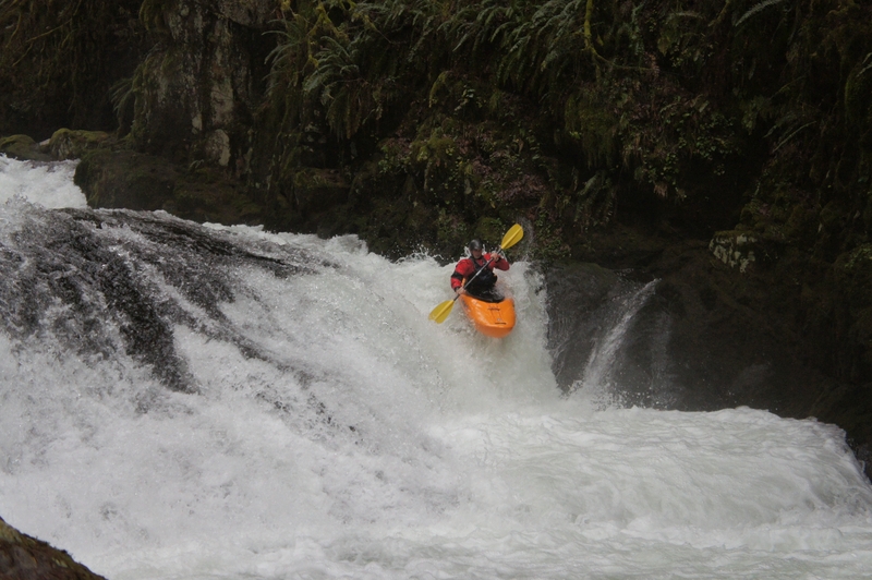
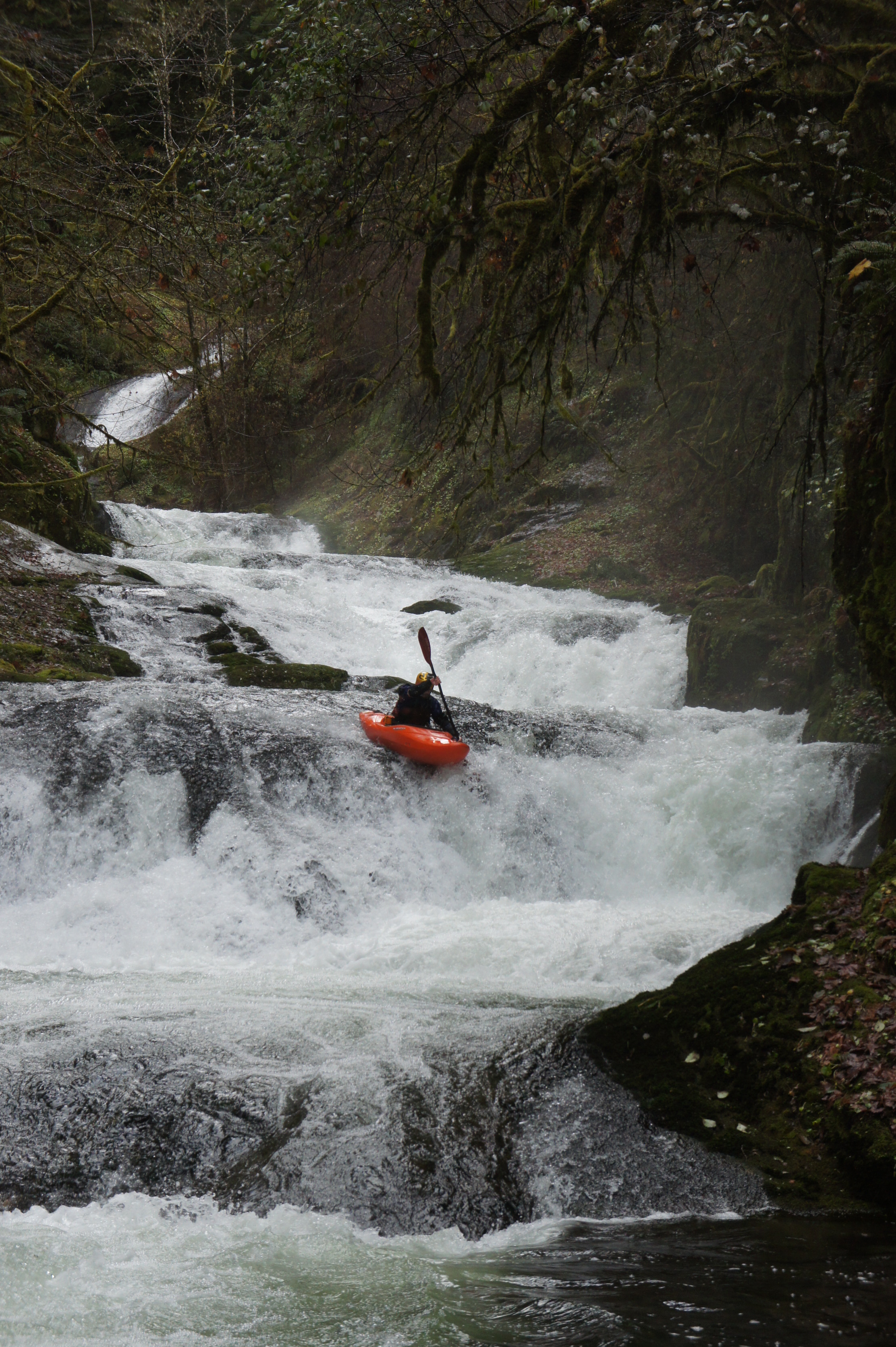
Sweet Creek is located in the Oregon Coast Range near the town of Mapleton. It is a short but adrenaline packed run that is unlike most runs in Oregon, with gradient that reaches ~500 FPM in the crux gorge section.
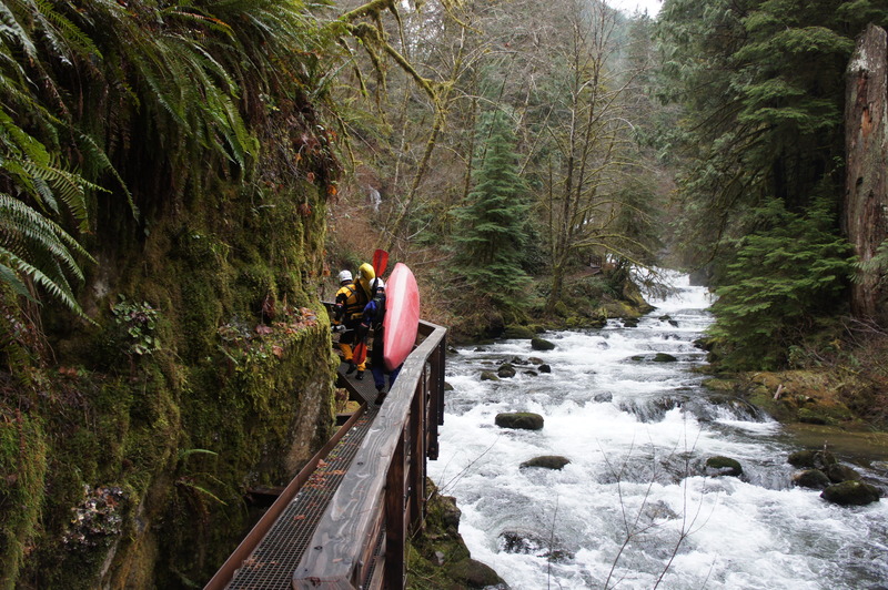
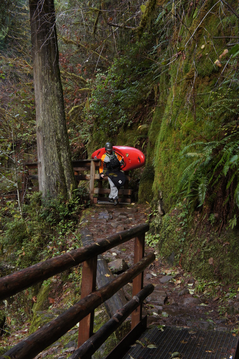
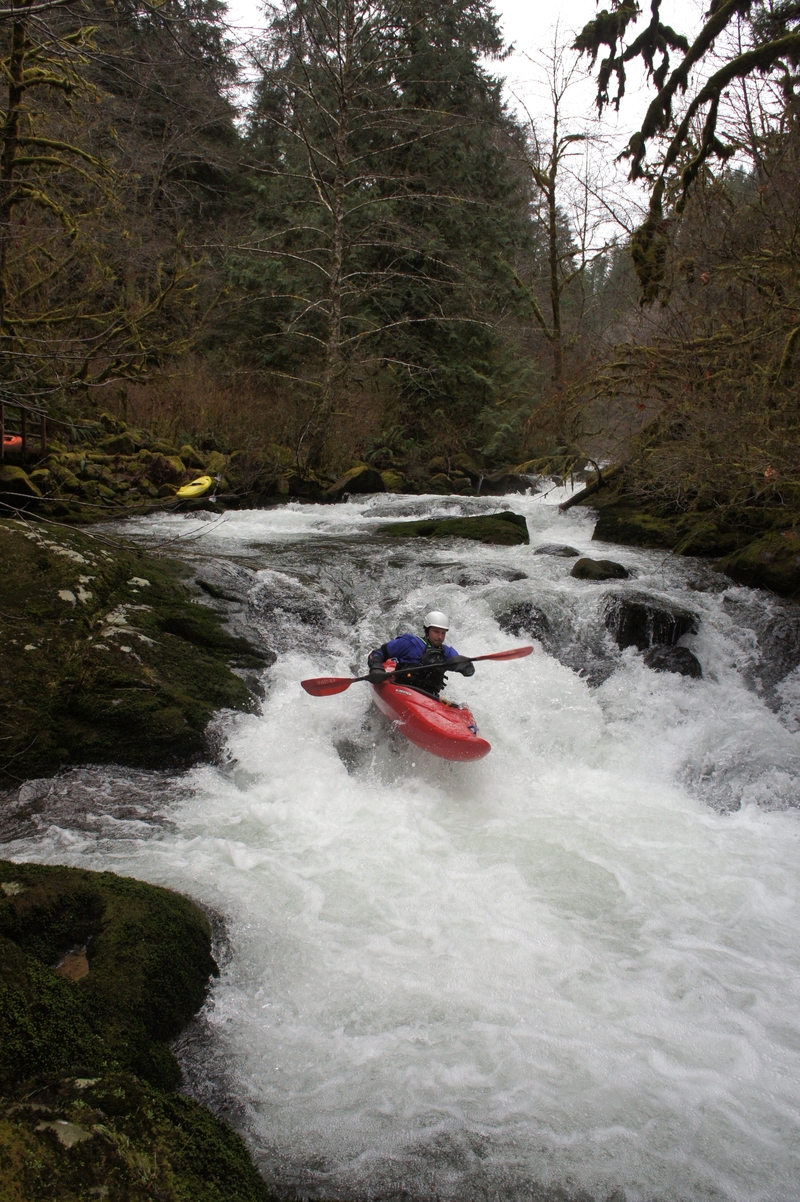
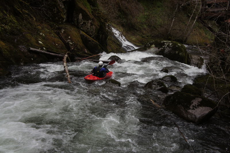
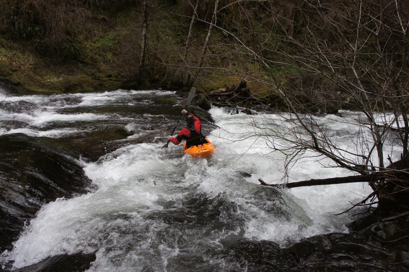
The entire run of Sweet Creek is ~1 mile long, starting at Sweet Creek Falls and ending at the Homestead trailhead. The gorge section starts ~.3 miles from the takeout, and is what most boaters concentrate on, doing multiple laps in a day and utilizing the convenient hiking trail etched into the cliffs along the right bank to do so. If you do decide to hike all the way up to the base of Sweet Creek Falls to start the run, you will be faced with some chunky rapids for the first ¼ mile or so. After that, and before the gorge section, are a series of ledges which can be best described as a scrape-fest when water levels are manageable for the action downstream, and what Sweet Creek is known for. That said, they can be fun and they also allow you to get some boating in if water levels are too high for the gorge, or if there are people in the group that need a warm-up or aren’t ready for the steep stuff.
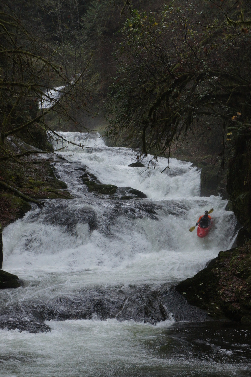
It will be pretty obvious when you have reached the gorge, as the bottom drops out below the eddy you’re sitting in. If you haven’t done so already, now would be a good time to get out and scout and/or set safety. The gorge can be broken down into two sections, the top five drops, and the bottom three. For referenc
...Jan 12, 2011
Joe hiking up to run another lap