| Difficulty | II(V) |
| Length | 39.5 mi |
| Avg Gradient | 7 fpm |
| Permit | Online permit required year-round from Cottonwood to McDonald's Crossing |
| Gauge | John Day River at Mcdonald Ferry, or |
| Flow Rate as of 41 minutes | 78 cfsbelow recommended |
| Reach Info Last Updated | November 21, 2022 |
River Description
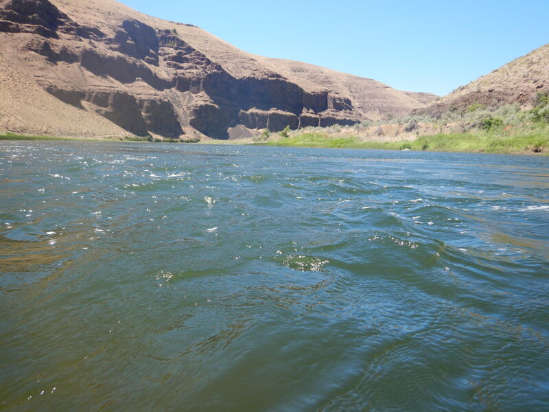
Below Cottonwood Canyon State Park the river wanders through agricultural land and pretty vistas. Use is light in this area with most boaters day fishing from Cottonwood to Starvation Lane. Limited dispersed camping is available.
The last public takeout on the John Day River is at McDonal's Crossing. There is public parking and a bathroom on river right at John Day Crossing about a mile downstream of where the county road reaches the John Day River on the East side, which is usually the easiest spot to take out a boat. Rock Creek (river right) is also an option to take out if you can hand carry your boat. Make sure you scout your takeout to see what is accessible at the flows you have, and bring an atlas as google maps may lead you astray. Also, check with your shuttle company to make sure you know which side of the river your vehicle will be parked on!
Keep in mind that starvation Lane boat ramp becomes hazardous at higher flows and is challenging at low flows. Check with the State Park for current conditions.
If you want to run the John Day all the way to the Columbia beware of the class V Narrows that starts with Tumwater Falls and ends with the flatwater of the Umatilla Reservoir on the Columbia. Permit regulations stop where the John Day Wild and Scenic River desgination ends at Tumwater Falls.
Regs/Permits/Etc.: The BLM requires an online permit year round, a river toilet for overnight trips, and a fire pan for having fires outside the annual fire ban season. Visit Recreation.gov for day use permits and overnight permits. For further regulations and information visit the John Day BLM website
...River Features
Cottonwood Put In
Access PointDistance: 0.01 mi
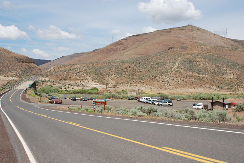
Located on the downstream river right side of the bridge. No camping at this site but Cottonwood Canyon State Park located across the river provides camping.
Rock Creek Picnic Area
Access PointDistance: 18.15 mi
Access on river right. Primitive camping is available but no toilet.
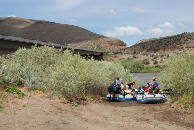
McDonald Crossing
Access PointDistance: 19.06 mi
Access for hand carry craft on river right. Last take out before Tumwater Falls.
Tumwater Falls
RapidClass: VDistance: 29.25 mi

The start of The Narrows. Located at USGS River Mile 10.2.
La Page Park Take Out
Access PointDistance: 39.39 mi
Highly developed access at the confluence with the Columbia River.