Merced, S. Fork
2) Wawona to Main Merced

| Difficulty | V+ |
| Length | 22 mi |
| Avg Gradient | 110 fpm |
| Gauge | South Fork Merced River at Wawona |
| Flow Rate as of 19 days | 44 cfsstale data |
| Reach Info Last Updated | August 3, 2022 |
The South Fork Merced drains the southwest portion of Yosemite National Park. Its headwaters drain peaks over 10,000 feet in elevation. The river runs roughly west to Wawona (4,000 feet elevation) where it is crossed by Highway 41. From Wawona, the river runs roughly north west for 23 miles to the Main Merced (1,410 feet elevation).
The section from Wawona to the Main Merced was the first of the major multiday Sierra class V trips done by the Billygoat Boaters. Because of its easy access (no hiking) and fantastic rapids, this section has become very popular over the years.
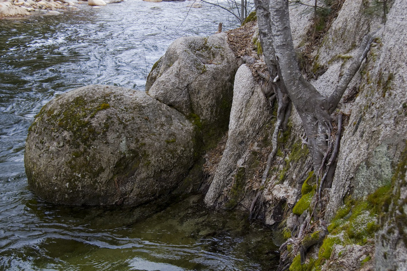
This river also provides ample carnage every year to boaters who make small mistakes or are not quite up to the challenge. Besides getting stuck in holes, boaters have been pinned, flushed through seives and had their boats swept away by rising water in the night. Many boaters have hiked/crawled/bushwacked their way out of this canyon after getting spanked or loosing their boats. Hillsides thick with manzanita, buck brush, poison oak and other thick or prickly flora make cross country travel almost impossible. There is a trail near the half way point, but hikers will have to travel at river level to get to it or get back upstream to Wawona.
For those not interested in class V, it is possible to hike in to Snyder Gulch and cut out all the class V rapids while still gettting a 7-mile-long run with some class IV at the start and class III after that. It is a beautiful canyon with interesting and long rapids. To cut out the class IV and make a class II-only run, you can drive (or hike) the rough road down to Hites Cove (about two miles downstream of Snyder Gulch). The take-out is the same as for doing the full run. See below for directions to these intermediate river access locations.
Getting There
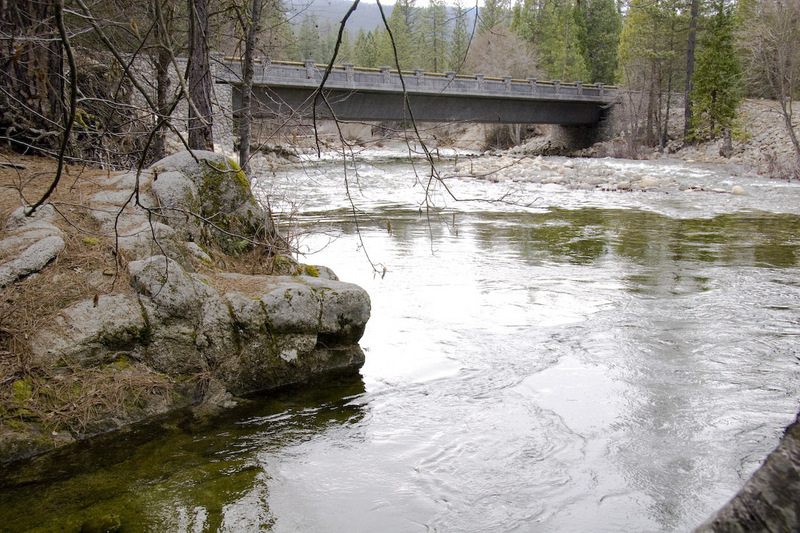
Take-out: From Yosemite Valley drive west on Highway 140 to the bridge across the SF Merced at Savage's Trading Post. About 40 minutes dr
...
A trail comes down on river left to near the river. This trail starts from roads near Iron Creek. The distance from the river to the trail head is about 1.5 miles. The road to the trail head probably has no traffic and might be closed in the winter.
A pack trail comes down from Highway 41 near Alder Creek and crosses the river near Bishop Creek. The trail also branches, with one fork going downstream on the east side of the river to Snyder Gulch. The other fork goes upstream on the west side of the river for a ways before climbing to a trail head near Iron Creek. The trails appear to be high above the river in most areas, but if reached would likely afford easier escape than at river level.
Snyder Gulch comes in from the left. A trail also reaches the river here. The rapids are class 4 or easier from here to Hite Cove and then easier from there to the end.
Apr 15, 2007
There is no online gauge for the SF Merced and no staff gauge that I am aware of. This rock just upstream of the Highway 41 bridge over the SF Merced, may serve as a gauging landmark. Park in the large parking area in front of the Wawona store and walk the few feet to the river. Look around till you see this area. The level shown is probably just below marginally boatable. Another 6 inches up would probably be a very good flow.
Close up view of the gauge rock by Wawona Store on the SF Merced. From the parking lot in front of the store near the highway 41 bridge, walk to the river and look for this rock. Most of the banks in the area are cobblestone.