Colorado
13. Grand Junction Town(Junk Show)
| Difficulty | I |
| Length | 31.6 mi |
| Avg Gradient | 8 fpm |
| Gauge | Colorado River Near Colorado-utah State Line |
| Flow Rate as of 50 minutes | 1770 cfsrunnable |
| Reach Info Last Updated | February 9, 2015 |
The Colorado River has been over-allocated and mismanaged for more than a century. Known as the hardest working river in the western US, the Colorado River flows from Rocky Mountain National Park in Colorado to Mexico where it gets sucked dry before reaching its mouth in the Sea of [...]Read More
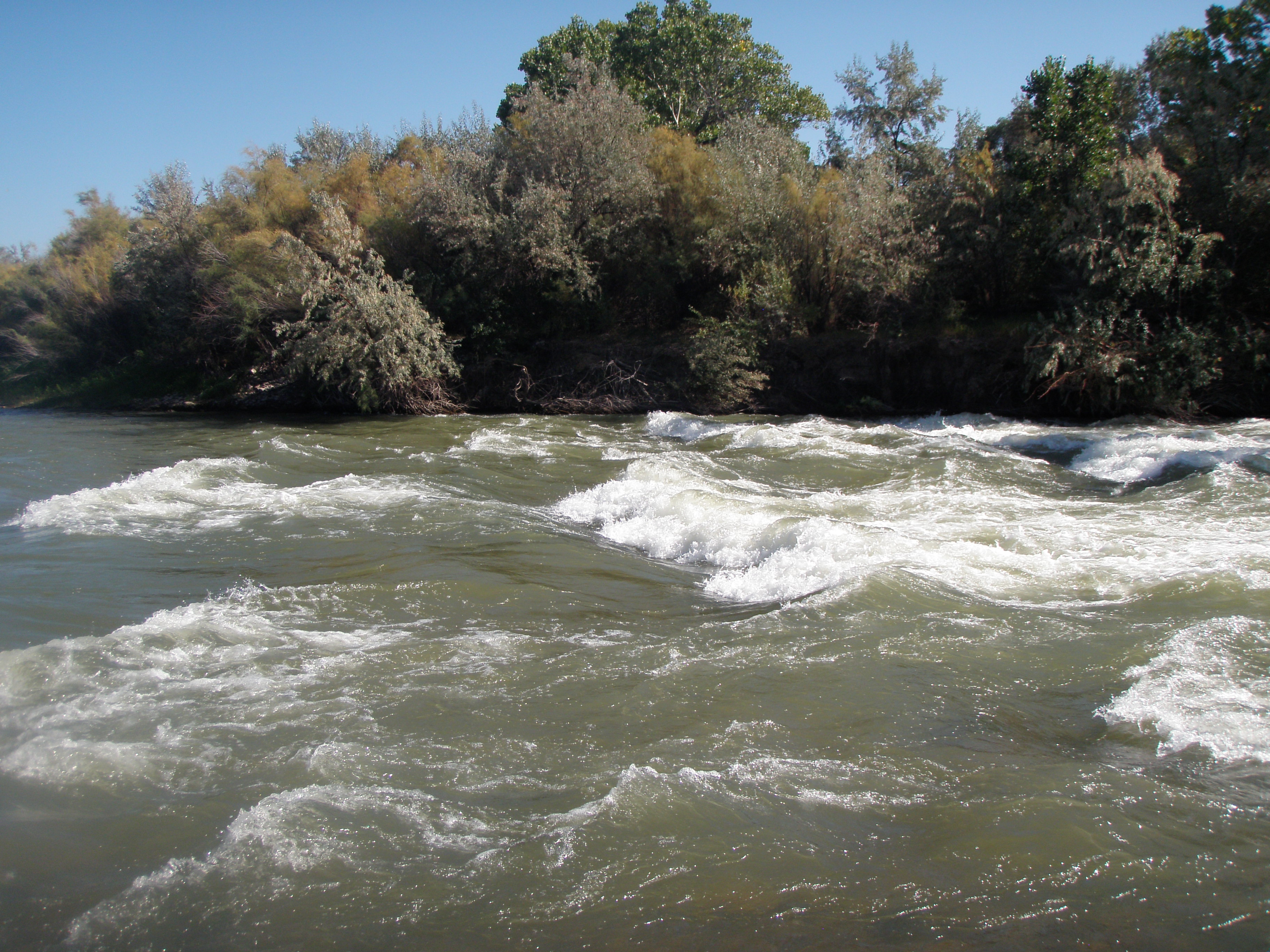
The Colorado River through Grand Junction is mostly flat. There is is a significant rapid with waves just upstream of the 29 Road bridge.
Put in: RiverBend Park in Palisade is just downstream of some diversion structures across the river. Elevation is 4688 feet. There are other put in options at several public parks along the river.
Take out: I-70 just west of Fruita, take exit 15 to Road 139 south. Turn left on Kokopelli Trail and follow it around towards the river. The road turns to gravel about 300 or 400 yards before reaching the river. Just past a dirt parking area, turn left down to a primitive boat ramp.
There are a number of public parks and access points along the river, allowing a variety of shorter trips.
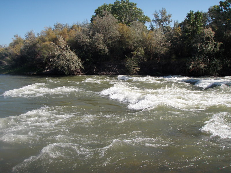
Rapids are in the river right channel just upstream of the bridge.