Ammonoosuc, Upper
Kilkenny Loop Road to Spruceville Road

| Difficulty | II |
| Length | 6.1 mi |
| Avg Gradient | 30 fpm |
| Gauge | Upper Ammonoosuc River Near Groveton, Nh |
| Flow Rate as of 1 hour | 168 cfsbelow recommended |
| Reach Info Last Updated | February 16, 2025 |
The Upper Ammo needs a lot water for a fluid run. Therefore you would be hard pressed to find this river running unless everything else in the neighborhood is at or near flood stage. The river itself is an easy class I-II at the begining and eventually builds up to a steady class II with a few small ledge drops. Gorge-us is the most difficult section in this run. It is recognized by a sharp right bend up against a shear granite wall on river left approximately 4.8 miles below the put-in. Gorge-us should be considered a class II+ or III depending on level. It is easily portaged on river right.
Be aware that most of this run is wild and a difficult bush wack back to civilization, it makes for a great northern New England wilderness experience but a nightmare if problems arise.
4.8 miles from the put in you will come across a few more difficult and tightly spaced ledge drops of about 1 to 2 feet. When you see the river take a sharp right up against the granite wall on river left take on on river right to scout and/or portage. The rapid itself is only 30 yards long but drops steeply with three or more large hole / waves in the center flow. You can sneak the right side but look out for shallow rocks that could push you back into the main flow. The tail end of the rapid produces some nice symetrical surfing waves with a good access eddy on both sides.
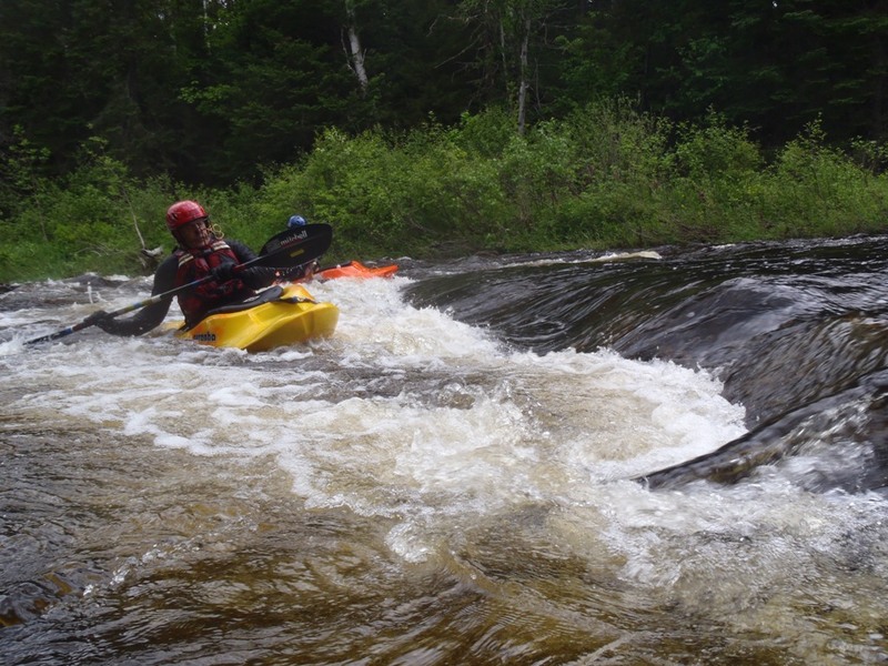
May 29, 2011
Rick Corvill at a typical ledge drop on the Upper Ammonoosuc river In Berlin, NH.
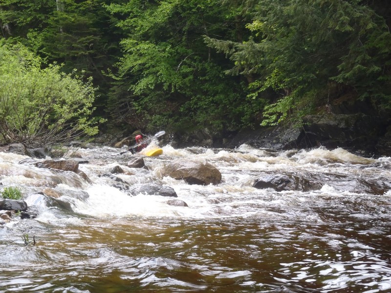
May 29, 2011
Rich Channey at entrance drop on Gorge-Us on the Upper Ammo May 29th 2011. 2500 cfs at Groveton gage
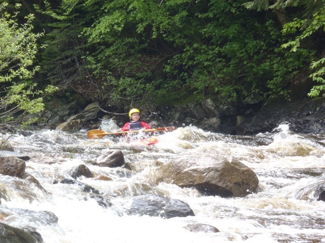
May 29, 2011
Rick Corvill at Gorge-Us on the Upper Ammo May 29th 2011. 2500 cfs at Groveton gage
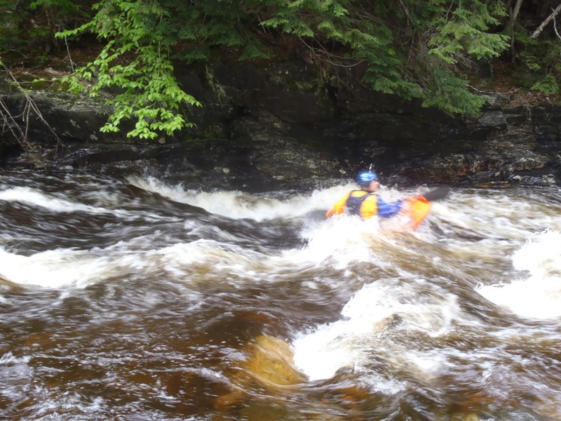
May 29, 2011
Corringe Powers at Gorge-Us on the Upper Ammo May 29th 2011. 2500 cfs at Groveton gage