Smith Creek
1. Upper
| Difficulty | III-IV+(V) |
| Length | 3.6 mi |
| Avg Gradient | n/a |
| Gauge | Boundary Creek Nr Porthill Id |
| Flow Rate as of 1 hour | 40 cfsbelow recommended |
| Reach Info Last Updated | April 12, 2022 |
Upper Smith Creek is the remnant of the once classic Smith Creek, but is a good run on it's own if in the area.While Lower Smith Creek was once the highlight of the region, Upper Smith Creek remains a high quality bedrock whitewater run in close proximity to Cow Creek and the very different Boundary Creek. Upper Smith offers clean, aesthetic, and fun bedrock rapids and small falls.The reach is easily accessible by Forest Service roads.The diversion not only eliminates significant periods of optimal and acceptable flows, and renders Lower Smith Creek unavailable when other nearby rivers are in their optimal range, including Upper Smith Creek.
The run starts off pretty slow, but eventually smaller bedrock rapids begin to appear. The second half of the run feels pretty classic, culminating in a great rapid with two 15-20' steps before easing off after the Cow Creek confluence.
Flows can be estimated by calling the Smith Creek diversion at (208) 267-2744, which diverts 350 cfs or so from the creek. A couple hundred feet below the diversion on river left is a staff gage. 6.4' was a fun, friendly low flow on the Upper Section, 8.1' was a padded medium for the upper.
The run is short enough to combine with Cow Creek, which has water at the same time as Smith. Cow Creek has a nice drop below the put in bridge, then everything else can be scouted/portaged on the right. There is one large class V drop and the rest of Cow is IV-IV+
Jul 13, 2020
We did the run on June 27, 2020 at a friendly and fun, low flow. It could be run a little lower, but would start losing quality. The gage below the diversion was at 6.4' and they were releasing 75-80 cfs per an attendant at the diversion. We also ran Cow Creek the next day, which was in and everything was runnable. Boundary Creek was at around 270 cfs both days.
Jun 13, 2012
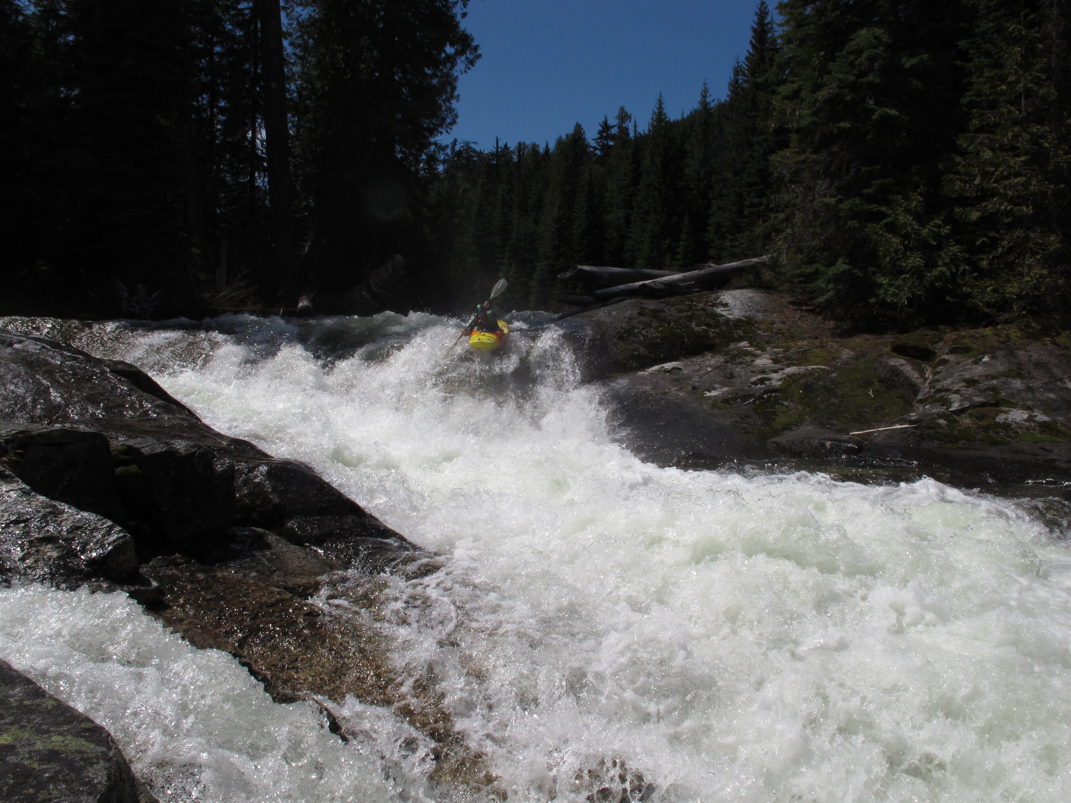
This is the entrance to the second big drop. We scouted from the left. Be aware that the river left bank is undercut and water tends to push non-aggressive or unsuspecting boaters more left than it would appear.
Jun 12, 2012
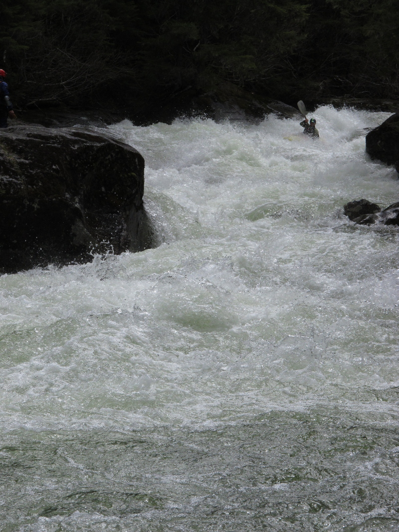
We did this run a few times while the Boundary Creek gauge (one drainage north) was reading 1,000-1,200. This seems like the type of run that could be run lower, but also much higher. Lots of opportunities to scout and rapids were all pool drop.
Other observations while we were in the area: Lower Smith looked far too high. Inch gauge below the dam (start of Lower Smith) was reading 8.1. Cow Creek was also too high and pretty choked with wood, too.
May 29, 2012
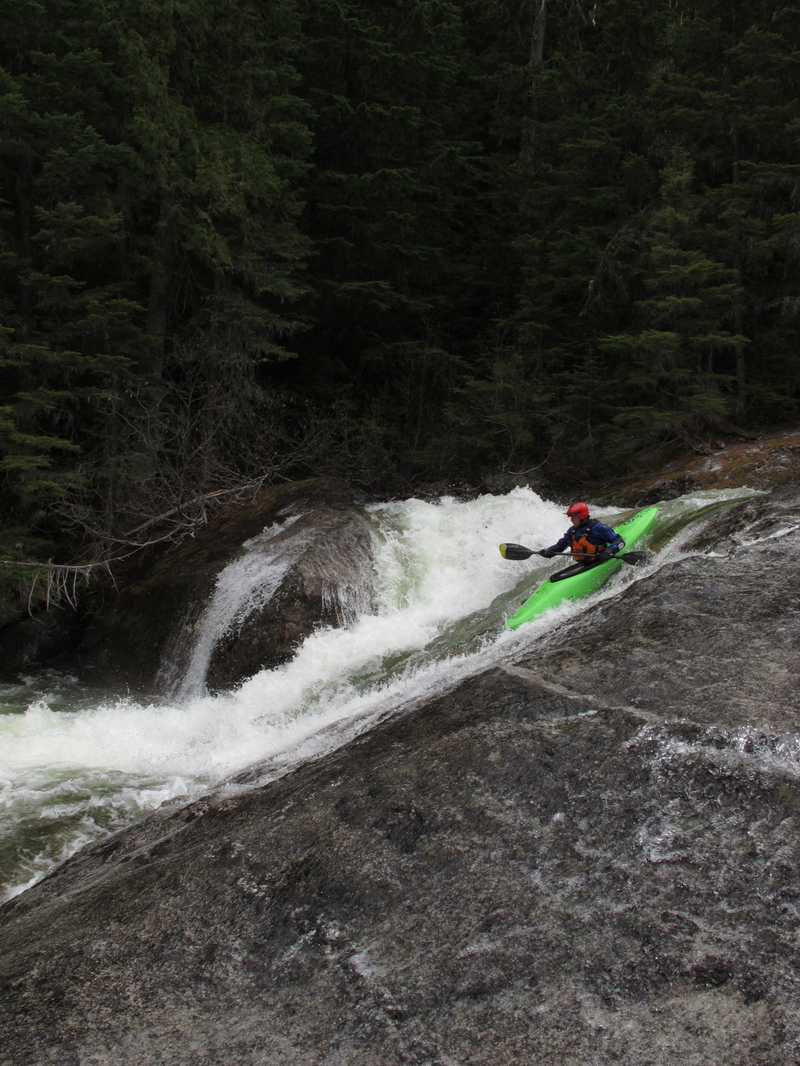
Just a fun slide.
May 29, 2012
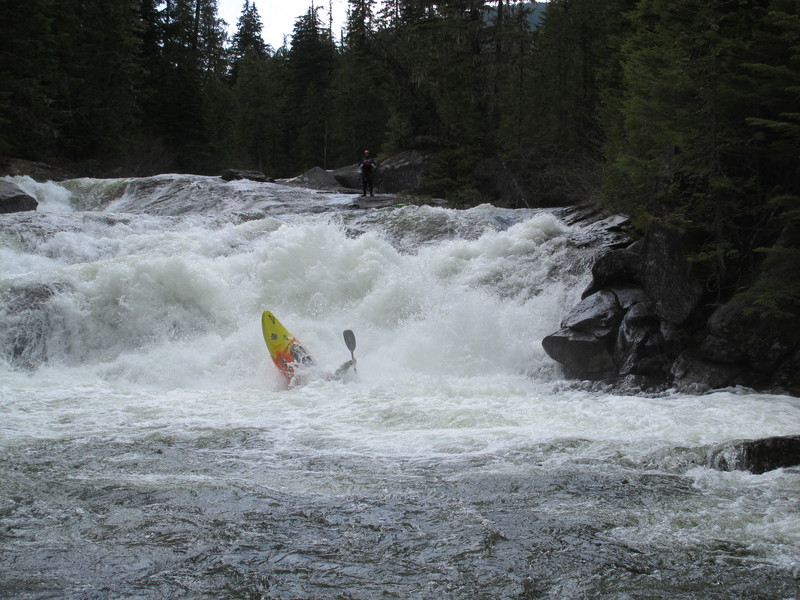
This is the finishing ledge. The rooster tail goes, but running a little left of it was the sure shot through the bottom hole
May 29, 2012
The river splits around an island. Scout from the island. This picture shows the first part of the rapid and the island you scout from is making the river left bank in the photo.