Kings, S. Fork
1.5) Bubbs Creek Confluence to Park Boundary(Cedar Grove)
| Difficulty | I-III(V) |
| Length | 9.5 mi |
| Avg Gradient | 61 fpm |
| Gauge | So. Kings Below Cedar Grove |
| Reach Info Last Updated | August 30, 2011 |
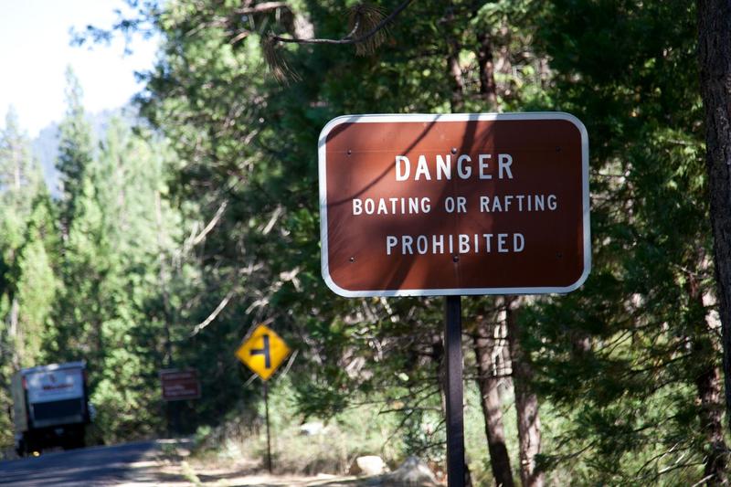
Boating on this section of the SF Kings is not allowed by Sequoia - Kings Canyon National Park regulations. See: Seki boating. However, we wish to document the potential for boating this reach, so that future discussions of boating can have a solid basis.
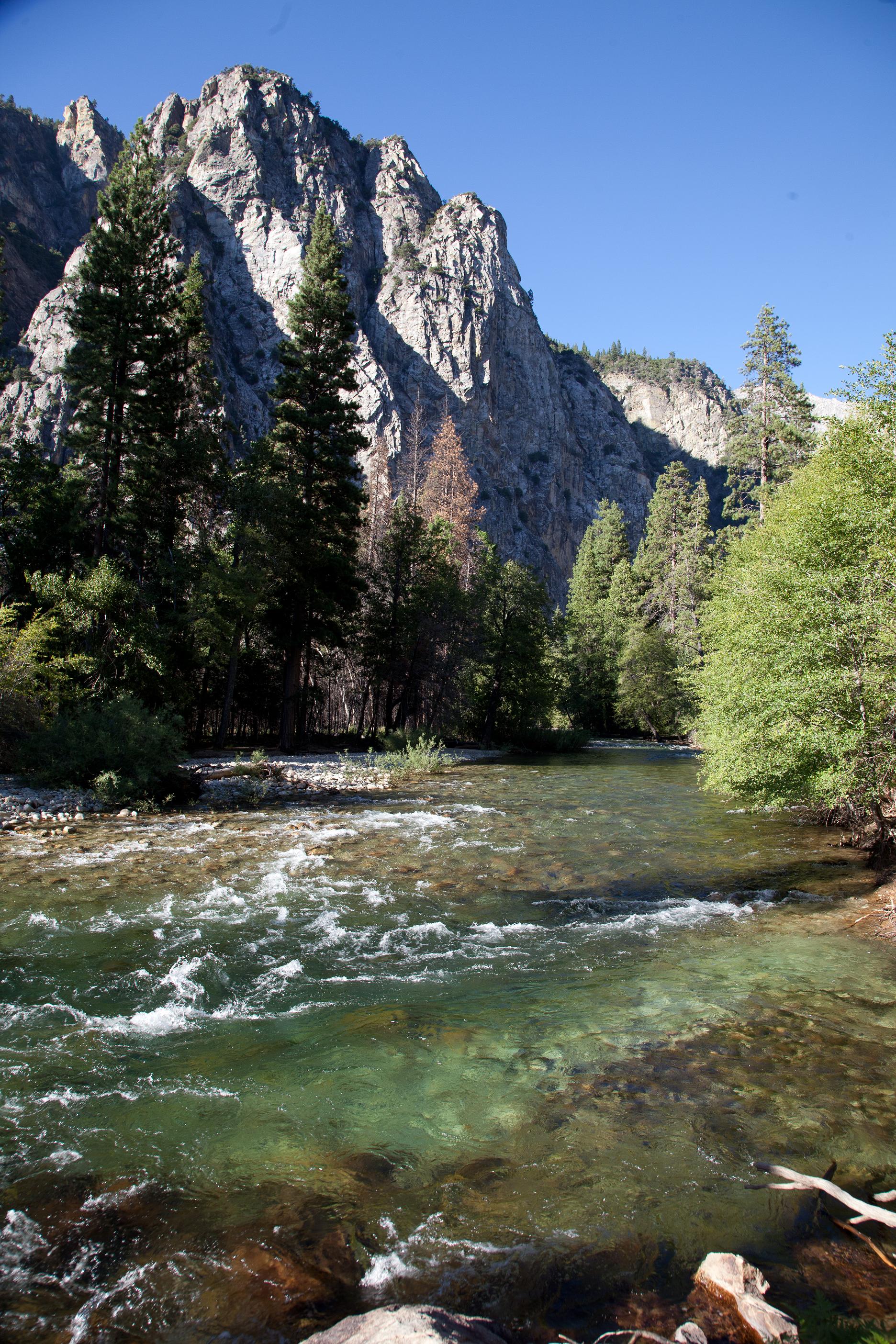
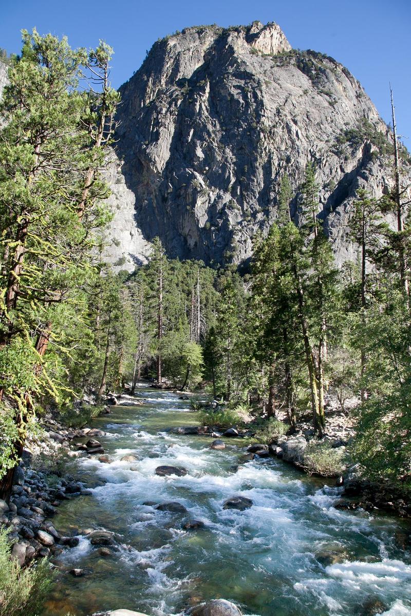
When viewed for many roadside access points the river is flat water or wide shallow riffles. This is surprising given the high gradient of 61 feet per mile. Given such a gradient, even moderate flows will produce very fast and continuous current.
It is our understanding that this section of river is off limits to boating because the seeming benign appearance makes it attractive and dangerous to the thousands of campers along the river who have no experience with the actual hazards of fast, very cold currents and frequent log strainers. However, once flows drop down, those same campers flock into the river for wading, fishing, swimming and floating.
It seems possible that there may be a window of opportunity with some moderate flows for boaters to enjoy the river without encouraging campers to endanger themselves.
AW is grateful that there is no blanket ban on all boating in the park. Most rivers in the park are so obviously steep and have such difficult access that only very experienced experts are tempted to boat them.
There are separate parking areas for dayhikers and overnight backpackers. It is a short hike from the parking area to the river.
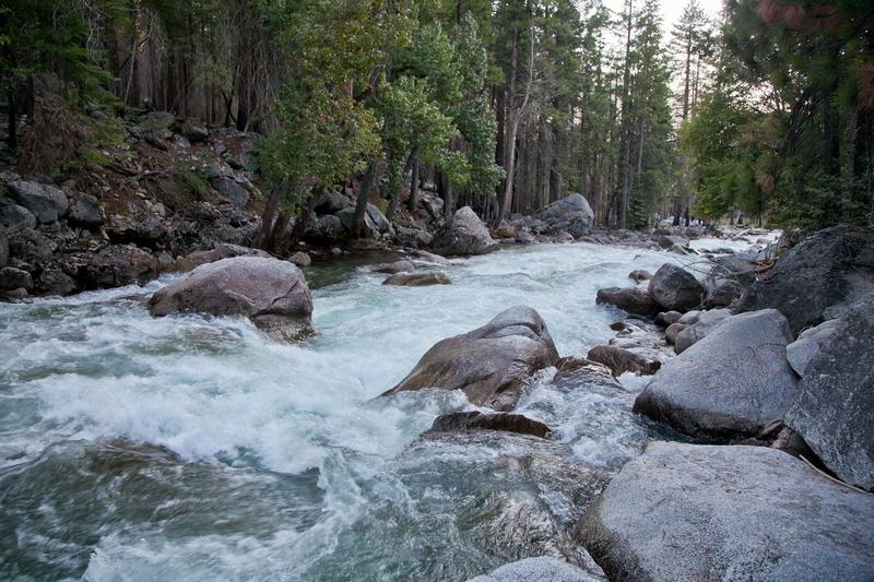
A footbridge across the river marks the start of the steepest rapid on this section. The river drops about 50 feet in a quarter mile creating a long and steep class 5 boulder garden rapid. The creek comes in just below the steepest part of the rapid, but the gradient only gradually tapers off over 4/10ths of a mile. A trail on river left should provide a convenient portage route.
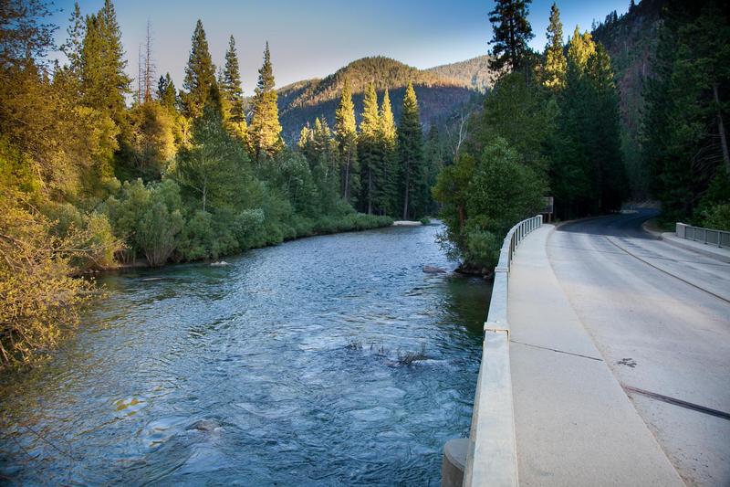
The river makes a sharp right turn and a highway bridge comes into view. A class 3 to 4 rapids leads down to the bridge. There is a large dirt parking area on river right downstream of the bridge.

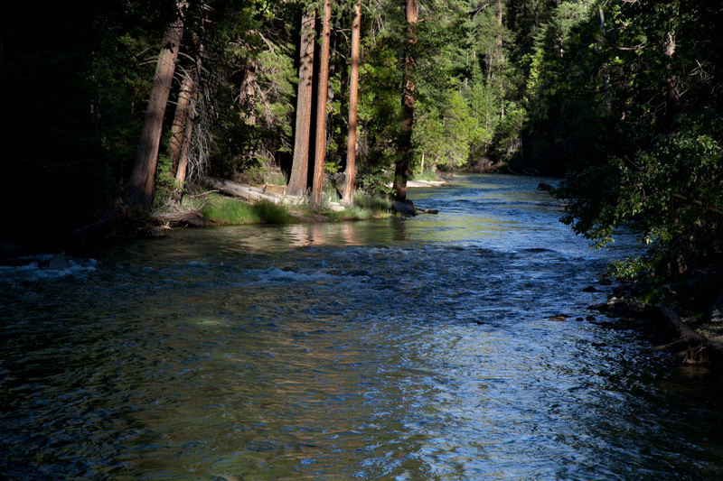
Roaring River roars upstream, but quietly enters the main river in a quiet section.
The river splits around a short but wide island, then drops down a class 3 to 4 rapid as the channels come back together. The gradient increases to 90 feet per mile approximately and rapids are pretty continuous for almost a mile.
This bridge connects Highway 180 with the North Cedar Grove Road. The rapids appear moderate but continuous in this section.
The park boundary is another 6/10ths of a mile downstream, but there are convenient take outs near this bridge. When the river flow drops, this is a popular spot for swimming and picnics. A class 4 rapid starts just at the actual park boundary line.