Flint Creek
Valley Run
| Difficulty | III-IV |
| Length | 12 mi |
| Avg Gradient | n/a |
| Gauge | Boulder Creek at Maxville Mt |
| Flow Rate as of 1 hour | 50 cfsbelow recommended |
| Reach Info Last Updated | June 16, 2026 |
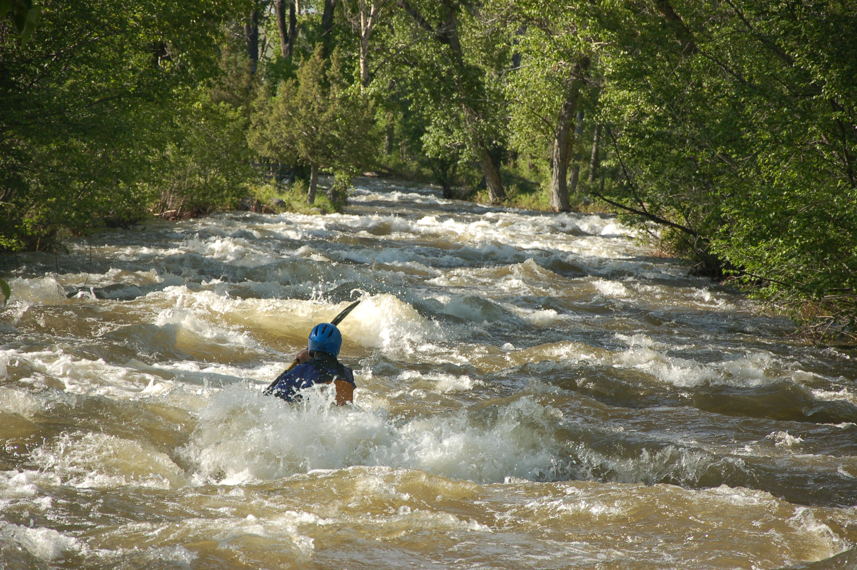
A cool trip through a unconfined canyon that opens onto a broad valley with cottonwood galleries bordering the creek. Expect almost continuous class III+ water, but you should be a class IV paddler if you get on this run because of some old mining infrastructure in the river (pipes, cables, etc) and the occassional tree that makes the run a bit more consequential. Go when the water is up. Be ready for flows to double at the Boulder Creek confluence.
This is state land according to the Montana Cadastral, allowing for parking here and walking directly to the river. Changed due to landowner complaint downstream. It makes for a long flat water paddle to the whitewater but may be the best public access available.
Jun 2, 2026
We attempted to paddle this creek yesterday (6/1/2026) but were unable to find a good access point to enter the river. Public land is few and far between above the confluence, and an angry local did NOT like us parking on the side of the road near his land. I would advise people to look for suitable public access points farther down or to avoid this creek: Big mines, weird parcelling and strange locals don't really tip the risk:reward ratio into the right place to paddle this, I don't think.
Jun 22, 2011
I thought Nathan was crazy when he predicted there was whitewater out in the cottonwood groves in the wide-open Flint Creek valley. But, he was right. We found a Class III whitewater run with rolling wave trains and a few moves to make. There was a cable or two and some mining debris but we were heads-up and were able to see it coming and navigate around them. It was a fun run!
