Davidson River
2. FS Rd. 475, 2nd pull off to Sycamore Flats(Lower Davidson)
| Difficulty | I-II |
| Length | 5.4 mi |
| Avg Gradient | 22 fpm |
| Gauge | Davidson River Near Brevard, Nc |
| Flow Rate as of 59 minutes | 0.61 ftbelow recommended |
| Reach Info Last Updated | May 29, 2026 |
This river is very rain dependent. It takes a good overnight rain storm to get it just up to runnable levels, but will drop about as quick as it rises. An overnight torrental ultimate unreal thunder storm will really get this river moving. At levels around 3.0-3.5 feet, it gets pumping really good. Lots of class II stuff at this level, a few surfing wave's will develop along the way, and lots of moving boogie water.
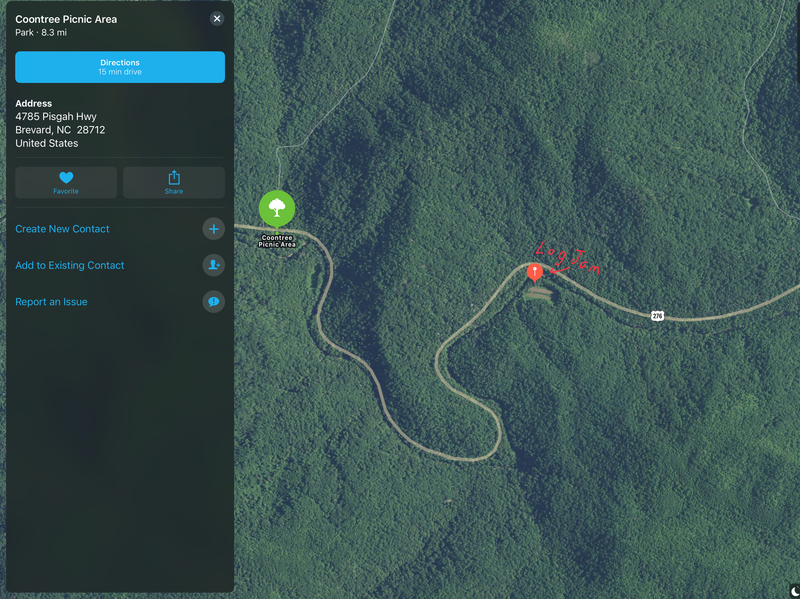
Directions to Put-in:
From Brevard: Take US 276 along the Davidson River north past the ranger
station for 3 miles. Turn left on Forest Service Road 475, which takes you to the fish hatchery. We found the best place to put in is the 2nd overlook / pulloff on the left, the one with the 'Roadside Camping Only' sign. There is a nice sandy beach right there with easy access to the river.
Directions to Take-out:
From Brevard: Take US 276 along the Davidson River. Go maybe a mile or so, and
you will see a sign for Sycamore Flats on the left. There is plenty of parking, picnic tables, and bathrooms. River runs along the back side of the park.
You can add on about another mile of river running if you take-out around the US 276 / US 76 Bridge before entering the National Forest.
Hazards:
As always be on the lookout for trees. Stay on the main path of the river or just about any path on the river's right bank. If you take some left passages, be prepared to get stuck on rocks, and even portage around trees at minimum level. Even at higher water levels, I'd stay on the rivers main path.
If running under 1.5 feet, about half way into the run, there is a large tree crossing the entire river's path. You may need to portage if you can't hop your boat over it. The tree will disapear at higher water levels. The tree's top edge at 1.5 feet is right around the same height as the river level and may not be obvious.
Just past half way, and past the
...May 24, 2020
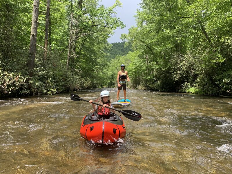
We got the kids out on the Davidson for a fun little float at a comfortable low flow. They had a blast catching small eddies, watching butterflies, and just having a back-yard adventure together.
Jun 11, 2018
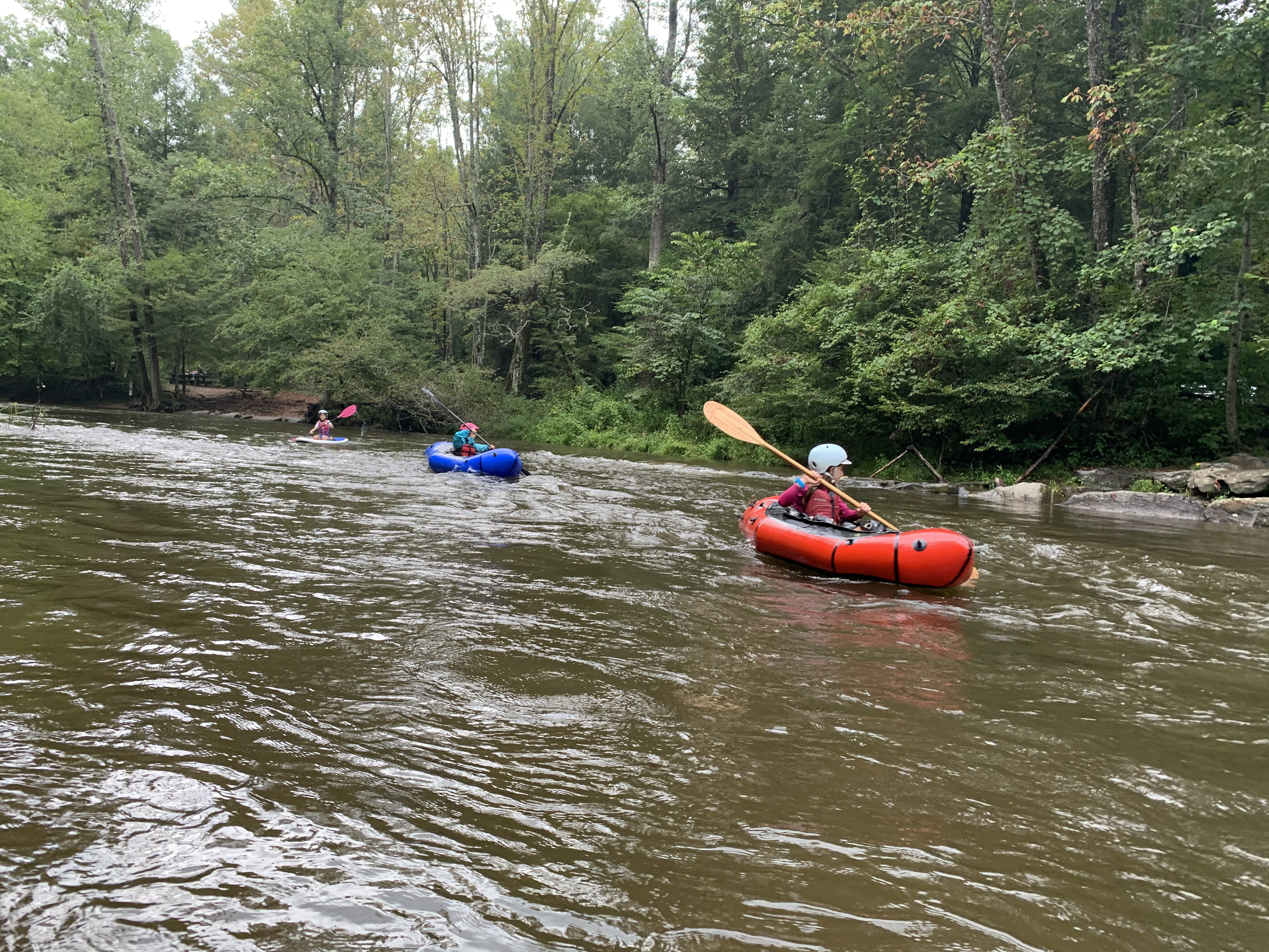
Trip report: I put in at the confluence of looking glass creek at the bridge. I ran the rive 3 times on 3 separate days with the levels 3’-2’. I took out at sycamore flats. The run is a nice mostly chill float with some wave trains and a few holes. The lower the water the more dodging rocks and the less boogie water. In my opinion the lowest level I would run it is 2’. I was scraping whenever the river splits, like at coontree. Any lower and you would be hiking the boat.
There are 2 major trees across the river as of June 2018. One requires ducking under a tree on river right. (Might not be possible at +3’) this is in between coontree and shut in pulloffs.
The next is just before the takeout. 100 yards up stream of sycamore flats. This is river wide. You will go over it at 2.5 and up.
Pictures of both are on this site.
I also paddled a Jackson sup so my experience might feel a lot different with a kayak.