Clinton
W. Avon Road (at Livernois) to E. Avon Road (Yates Dam) (5 miles)
January 29, 2013
| Reporter | Rich Guilbault |
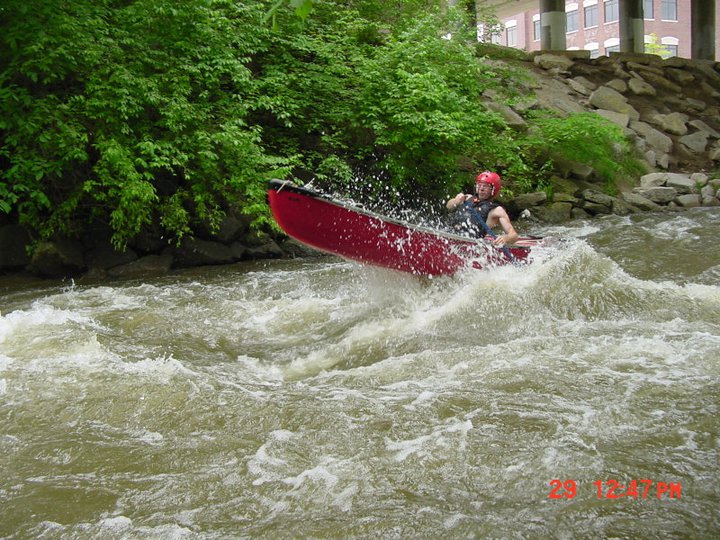
This stretch actually runs thru Rochester(Hills) mi. We use the Auburn Hills Gauge for flow readings. 1.3 is min. ( Aprx 70 cfs.) Above 3.0 (Aprx 500cfs) is considered flood stage. This gives the most accurate levels for the stretch. Its some distance above the other gauge. One of the best rivers in SE Michigan. Paint Creek being the other.