Caesar Creek, O'Neall Fork
Spillway to Caesar Creek Trail

| Difficulty | III |
| Length | 0.7 mi |
| Avg Gradient | n/a |
| Permit | None but it is on US Army Corps land. |
| Reach Info Last Updated | April 19, 2013 |
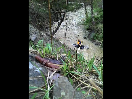
Have you ever hiked up from Caesar Creek on the Gorge Loop Trail and looked down in to the side gorge thinking “That looks like fun if it had water.” Well it does get water when there is a big storm. If you think “Strainer filled micro-gorge portage fest”. Then this is not for you. The run itself is actually quite delightful. If you carry to the top it starts with a small ledge and leads into a nice micro-gorge full of small drops and ledges. None of the rapids are really hard. HOWEVER it does tend to pick up wood. So approximately 3 to 4 trees will probably block the river at some point. These are easy to remove if you were local but otherwise you just get out and walk around them. OK so this run also ONLY HAS WATER after a hard rain and the Flat Fork is probably flooding.
The put in is located at the end of the spillway and if you want to hit the ledge you must carry upstream a bit. The takeout is at the confluence with Caesar Creek. If it is running then there is a good chance Caesar Creek is also running and you can just keep going downstream.