Floyds Fork of the Salt River
Beckley Creek Park to Cane Run Access (10.6 miles)(The Parklands of Floyds Fork)

| Difficulty | I |
| Length | 10.6 mi |
| Avg Gradient | 2 fpm |
| Gauge | Floyds Fork at Fisherville, Ky |
| Flow Rate as of 1 hour | 53 cfslow runnable |
| Reach Info Last Updated | December 16, 2020 |
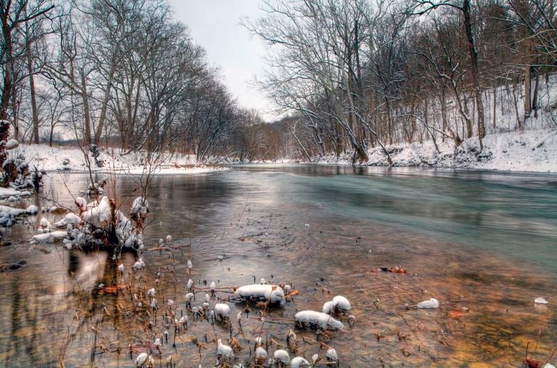
This section of Floyds Fork is located within a 20 minute drive of downtown Louisville and provides four easy, developed public access sites within 3,700 acre Parklands of Floyds Fork, one of the nation's newest large urban park systems. Majority of this stream section is accessible via the Louisville Loop paved pathway. Kentucky Fish & Wildlife stocks this section with catchable trout during the winter and early spring months.
Access Points and Reaches:
North Beckley to Creekside Paddling Access - 2.0 miles. 2.0 mile bike shuttle option available. Class I with light riffles under I-64. Low water conditions require careful navigation along steep cut streambanks. Creekside Paddling access is on river right directly downstream of the new Gheens Lodge meeting facility.
Creekside Paddling Access to Fisherville Paddling Access - 4.7 miles in length. More remote setting, sections parallel the largest walnut plantation east of the Mississippi. Approximately 1.0 mile into the float you will encounter a blown out low head dam that used to be the water supply for an old distillery. A small surf wave can be found here when the creek is between 300 and 600 cfs. Approximately 3/4 mile downstream Long Run creek enters on river left. This is the creek where Abraham Lincoln's grandfather was killed in the Long Run Massacre. Pay careful attention when going under the railroad trestle at mile three as debris tends to pile up here after storm events.
Fisherville Paddling Access to Cane Run Temporary Paddling Access - 4.3 miles. Pay attention to a braided channel immediately downstream of Fisherville access. Some paddlers skip this access and use a beach found at the entry to Pope Lick Park in order to avoid the braids. A series of small surf waves are found at mile four during flows around 300-800 cfs. Take out can be tough to find as the sign often gets blown out during high flows. Look for the second large tributary that enters on riv
...Jun 9, 2026
Please correct the Floyd's Fork/ Salt River waterway description. Abraham Lincoln's Great Grandfather wasn't killed in the Long Run Massacre! He wasn't even there!
May 16, 2013
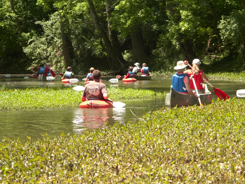
Summer paddling on the Fork. The stream braids and takes some patience to work through, but it's a nice way to get away from the city. Be on the lookout for kingfishers, green and blue herons, and northern watersnakes. Three are no cottonmouths on this section.
May 16, 2013
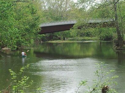
Typical view of Floyds Fork. Notice the bridges - they are designed to look like leaping deer. Also, the rocks at the base of the bridges are designed to be accessible by paddler. These are great spots to set bike shuttles.