Conasauga
Upper Upper Upper (Section 1) - Chestnut Lead Trail to Hickory Creek Trail(Upper Upper Upper, or Headwaters)

| Difficulty | III-IV+ |
| Length | 4.6 mi |
| Avg Gradient | 120 fpm |
| Gauge | Holly Creek Near Chatsworth, Ga |
| Flow Rate as of 1 hour | 43 cfsbelow recommended |
| Reach Info Last Updated | March 14, 2023 |
Conasauga section one Description.
The headwaters of the Conasauga are formed high in the western side of the Cohutta wilderness, in north Georgia. Popular Springs Branch, Cowpen Creek, and Birch Creek, come together and here starts the highest boatable section on the Conasauga. Shortly after these three come together the river gets additional flow from Potatopatch creek and Chestnut creek bother coming in on river left. The tributaries mentioned here are too small and wood choked to realistically be paddled. But as they all come together they give the Conasauga enough push to move most of the wood in it out of the way.
When considering running this river keep in mind that the easiest and traditional take out is no less than 15 miles down stream. So as when running Jack's river, also in the Cohuttas, shuttle should be set the day before. But the length of both of these runs makes them ideal for a legitimate overnight run. This run passes by Bray Field which is a popular place to camp and there are plenty of other sites as well. A rarity, in the southeast!
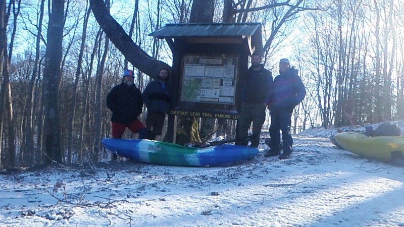
The put in: Ideally you'll have to hike about a mile and a half from one of two spots. One could park at Betty Gap and hike down the Conasauga river trail to where the three creeks confluence and start from there. The more ideal put in, in my opinion is to park at Chestnut lead trailhead and hike down to the river. From here you can hike up to the confluence or just start down stream from this point where Chestnut lead intersects with the Conasauga river trail. I do not suggest the Betty Gap location due to how the trail in many cases is hiking down the stream bed. Given that the stream bed will have more water in it than normal you would already be assuming more risk to you, your crew and equipment before ever arriving to the river. Important note. The gate that gives access to both of these trail heads is locked from January 1st through Mar
...
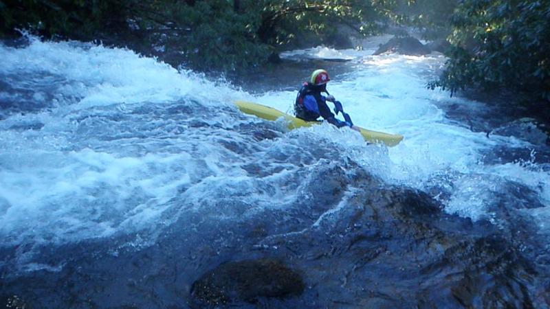
This rapid is upstream of the put-in approx 200 yards. Ferry across to river right at the put in and walk upstream for this 3 tier rapid.
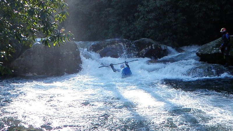
This one is about 100 yards below the put-in. There is a trail on river right for scouting. It is a tight line through the boulders.
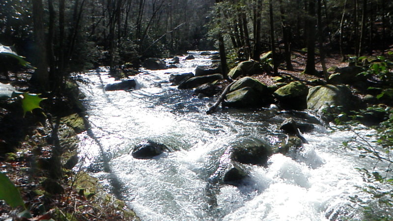
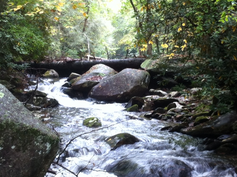
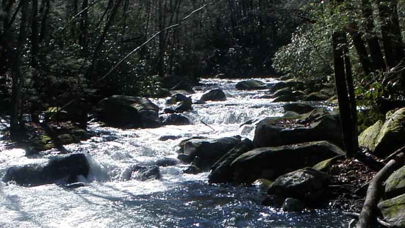
This is the typical scene and what to expect between the larger significant rapids.
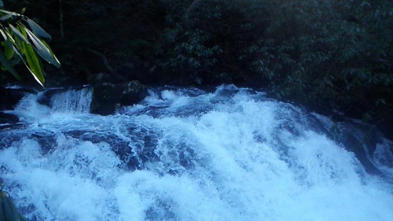
This rapid has two lines far left & a center line. The far left had a huge tree in it. The center line drops about 8 feet and the runout has a decap/undercut rock that you will bounce off of.
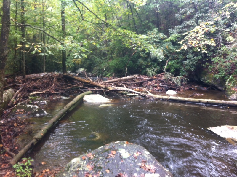
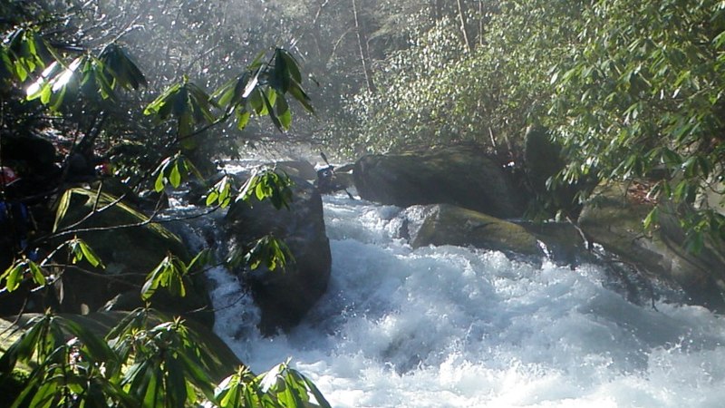
This was an S-Turn type of rapid that is the located at the big Log Jam. You have to paddle right up to the Log Jam in the center, then go Left to enter the S-turn. The huge rock in picture is the last part of the 'S'. Right after this, is a series of ledges & a boulder garden mixed in. Portage on River Left right as soon as you see the Big Log Jam. River right is walled out. At higher water this rapid would be a strainer city & hard to avoid.
Oct 6, 2014
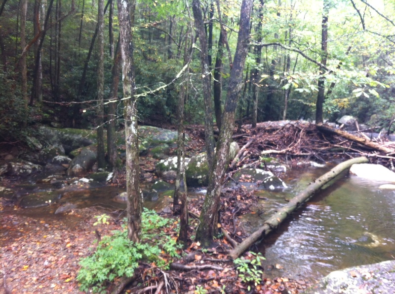
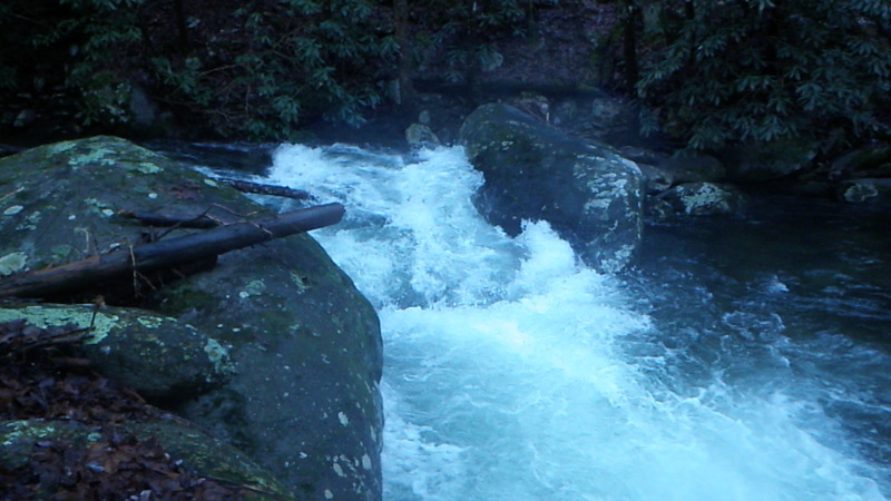
This low water pic shows the down stream side of the log jam/ big tree strainer at S-Turn. The picture was taken almost where the bottom portion of the s-turn rejoins the main stream bed at the top of the Boulder Garden boogie. 10-5-2014
Jan 10, 2013
This was an S-Turn type of rapid that is the located at the big Log Jam. You have to paddle right up to the Log Jam in the center, then go Left to enter the S-turn. The huge rock in picture is the last part of the 'S'. Right after this, is a series of ledges & a boulder garden mixed in. Portage on River Left right as soon as you see the Big Log Jam. River right is walled out. At higher water this rapid would be a strainer city & hard to avoid.