Saline (Howard County)
1) Shady Lake to Hwy 84 (4.5 miles)(Upper)
| Difficulty | II-III |
| Length | 4.7 mi |
| Avg Gradient | 50 fpm |
| Gauge | Little Missouri River Near Langley, Ar |
| Flow Rate as of 39 minutes | 3.40 ftbelow recommended |
| Reach Info Last Updated | January 26, 2009 |
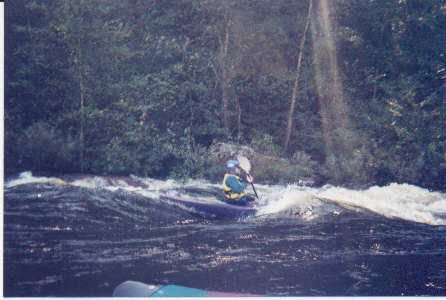
Very narrow and willow-lined, few eddies. Expect to portage 1 to 3 trees on average. Head right at Island at Mile 2. Blind turn left into 6' drop below island. See www.paddleyak.com.
Optional take-out at Hwy 246 for a 2.6 mile run.
No trip reports yet.