Stones, W.Fk.
Barfield Crescent Road to Nice Mill Dam
Mar 28, 2020
Ran on 3/27/2020, water level 650 cfs.
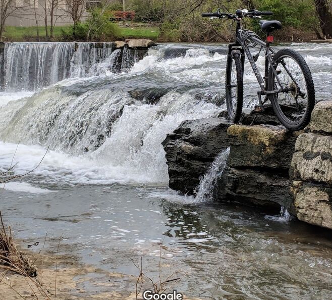
Put in at parkway dams (mile 7.95), both were runnable. Top dam is about 8 feet tall and is run via series of ledges on the left side. Scout river left on greenway. Drops are fairly straightforward though there is a fairly retentive hole at the bottom. Whatever level you run this at, be wary of the potential for dam hydraulics nearby. Other than that, this drop is probably class III. The second dam is about a 3 foot drop and at this water level a large, 10-foot wide tongue provided sufficient flow to avoid any hazard of entrapment in dam hydraulics. Probably a class I at this level. Also scoutable river left. See pictures for First Parkway Dam rapid and Nice Mill Dam rapid.
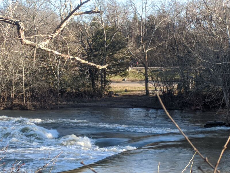
We ran about 2.5 additional miles with one notable ledge (class I or I+, near the Bark Park) as well as Harker's Hole. Other than that not too much to note although it's a surprisingly nice and isolated river for being in an urban area. Saw several kingfishers and herons.
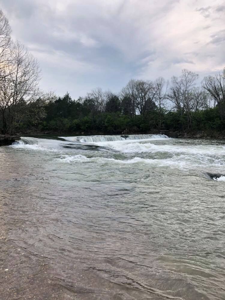
We took out at a greenway trailhead and headed a few miles downstream to run the bypass at the Nice Mill Dam. At this level, the 8-10 foot dam can be bypassed via a large, gently sloping tongue on far river right. Be aware that running too far to the left on this tongue might get you caught in a really nasty looking hole which may in turn move you into the dam hydraulic.
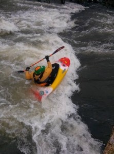
After the tongue, a nice playful class II hole/wave follows about 100 feet downstream. This rapid offers great park and play opportunities and at this level was surfable.
Jan 1, 1900
The top dam of the two Parkway Dams (mile 7.95). The left ledges are roughly a class III at 650 cfs and can be run. Scout is easy and advisable.