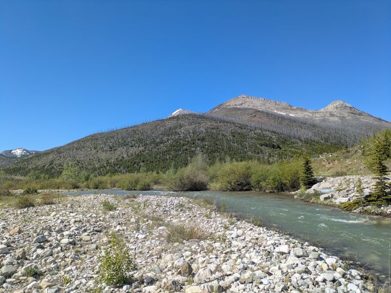
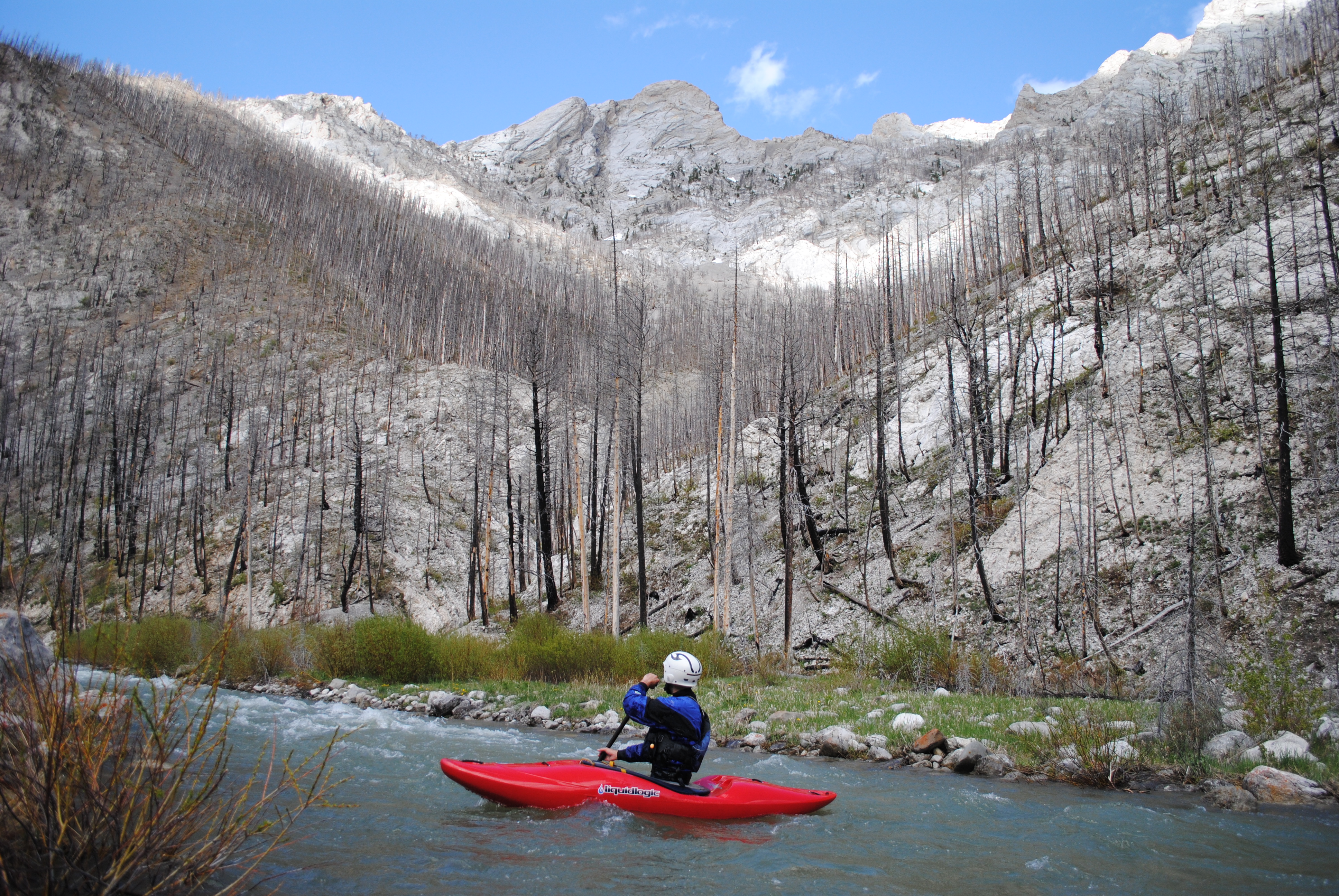
Teton River (North Fork)
Box Canyon
| Difficulty | II-III |
| Length | 4.1 mi |
| Avg Gradient | n/a |
| Gauge | Teton River Bl South Fork Nr Choteau Mt |
| Flow Rate as of 55 minutes | 158 cfsbelow recommended |
| Reach Info Last Updated | May 8, 2019 |
The Box Canyon of the North Fork Teton River is a very nice class II-III whitewater run through a dramatic but open limestone canyon. The road access, relative rarity of strainers, ease of scouting, and moderate bedrock and boulder whitewater make this a good option for intermediate paddlers looking to experience the Rocky Mountain Front by boat.
When flows are good you will likely want to continue another 6-10 miles down the roadside run of the North Fork which cuts through numerous limestone reefs. There is great camping on pull-offs and in campgrounds along the roadside section. The South Fork Teton also offers a roadside section that is nearby.
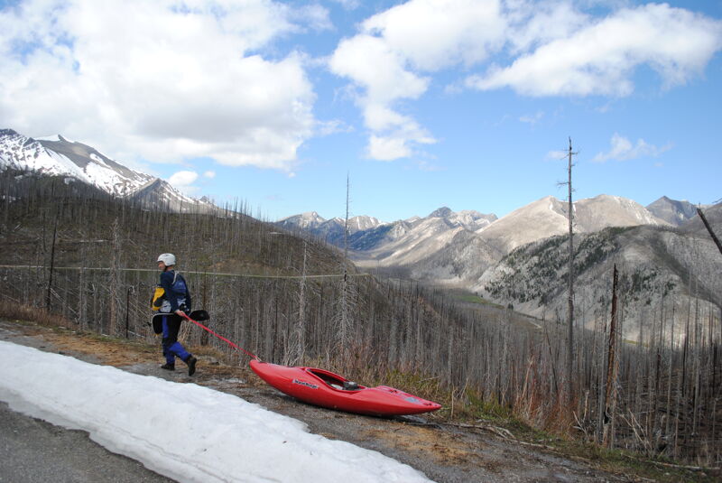
Early season we had to walk down the road from a gate at the top of the hill. Later we assume the gate is opened. Either way, the short walk is not a big deal and well worth the small amount of effort.
Jun 5, 2026
Great stretch, but at the lower end of floatable water (@ 420cfs reported 10 miles downstream, a fraction of that up here). Would not recommend much lower, so flow rating is accurate for the low end. At least two or three other parties on the river - busy day! Woody debris was notable at the top from the West Fork bridge down to the start of the canyon, the first mile. Multiple log jams required portages, some rather circuitous - expect to hike up to a 1/4 mile. One strainer at the start of the canyon section. Very minimal debris after that point until a few curves well below the canyon stretch.
May 29, 2014
620cfs on the NF Teton Box Canyon. Great flow on a great run.