Buffalo Creek, S. Fk. (Buffalo C. trib.[Guilford Co.])
Harvest Rd to McLeansville Rd(South Fork Buffalo Creek)
| Difficulty | I(II) |
| Length | 1.4 mi |
| Avg Gradient | 12 fpm |
| Gauge | Buffalo Creek at Sr2819 Nr Mcleansville, Nc |
| Flow Rate as of 1 hour | 40 cfsbelow recommended |
| Reach Info Last Updated | December 12, 2025 |
Buffalo Creek starts as a north and south fork on the eastern side of Greensboro. Due to large amounts of runoff from an urban environment, this reach is runnable almost anytime there is significant precipitation in the city. This runoff also provides a steady supply of plastic bottles. Generally, there are enough periodic flows to keep strainers from being a constant worry.
This first reach is very accessible and offers one small Class II rapid if the water is up. Shuttling is easy and can be done with vehicles, walking, or biking.
The put-in at Harvest Road is impossible to miss as there is a moderate S-curve where the bridge is. Pull off on the northwest shoulder and walk your boat in on the southwest side, upstream side of the bridge. Very easy spot to gear up and slide in.
The float starts off with a nice Class I run and then predictably pauses for a stretch before finding several more easy riffles. This continues and there is one almost fun rapid before going under Dicks Mill Rd.
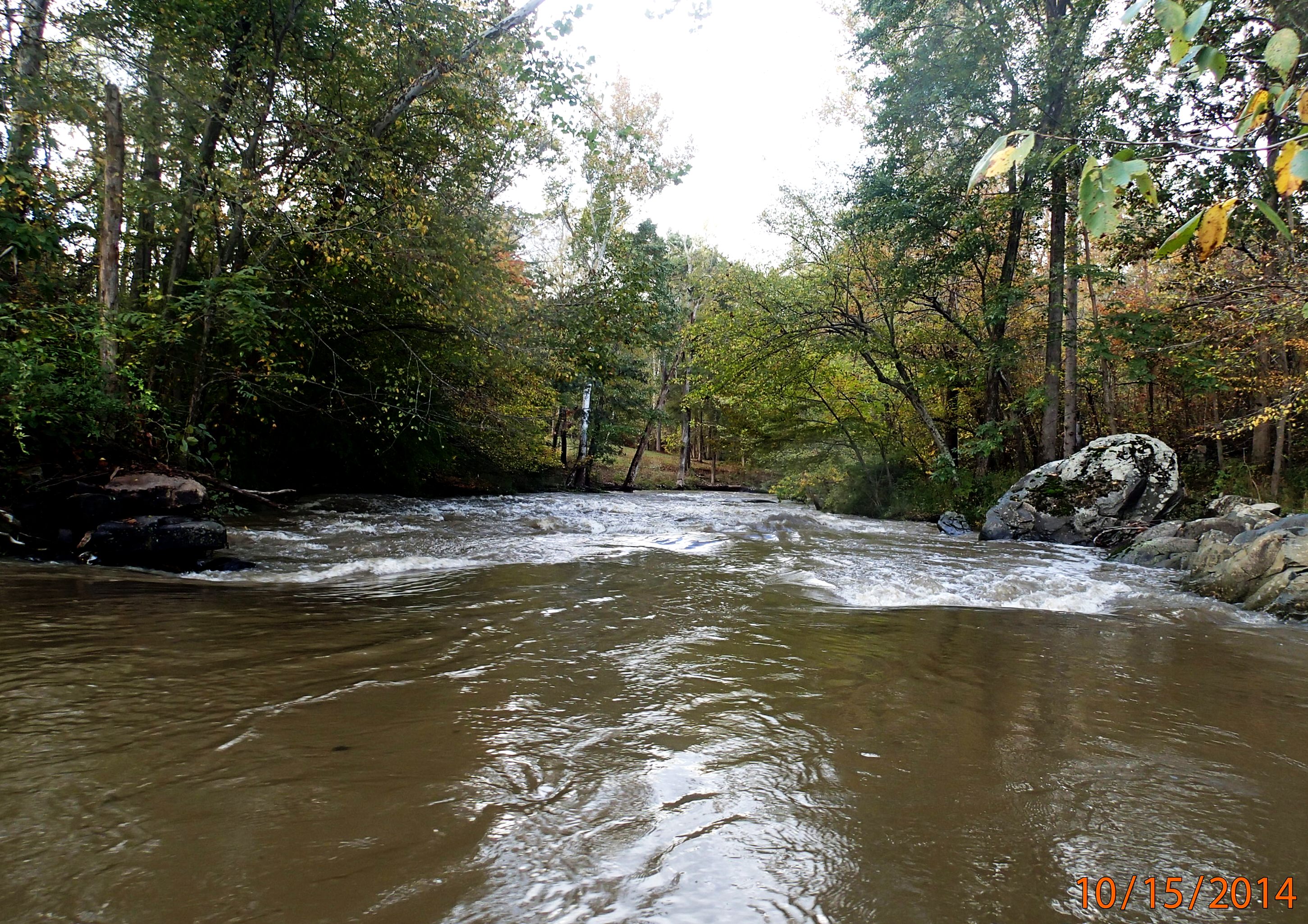
Just after passing under the bridge, the creek begins bending to the left and you can start to see and hear the 'Dicks Mill Rapid'. There's nothing remarkable about this rapid, but there is a slightly retentive ledge just to the right of center about a 1/3 of the way through the rapid if flows are between 300 and 800. This is about the only 'playspot' on the run that could be mildly entertaining and it is possible to hike back to the road from here.
After this, the creek continues to provide the occassional riffle, but otherwise provides a relaxing float. The North Fork joins up just before the McLeansville Road bridge. To avoid kudzu and briars at the take-out: pull out on river right and hike up the DOT boulder field on the upstream side. Cars can be parked on the eastern shoulder, southern side preferred for egress.
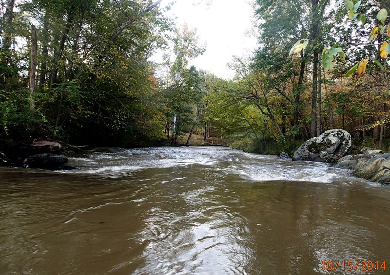
Little play ledge about 1/3 of the way down, just river right of center (left in picture).
Jan 4, 2017
Ran it twice after it rained; once at 800CFS and once around 600CFS (it dropped rapidly by the time we had finished the second run, so be aware the water levels do not hold for long). Even at 800CFS, calling the Dicks Mill rapid a class II is probably generous. Not a bad run for a first timer, but definitely a class I run for anyone else.
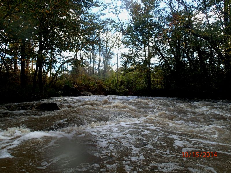
Oct 16, 2014
Dick's Mill rapid from the top.
Oct 16, 2014
Dick's Mill rapid, just below ledge with slightly retentive corners.